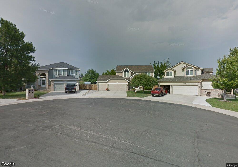
829 W Mulberry St Louisville, CO 80027
Estimated Value: $974,000 - $1,428,000
1
Bed
2
Baths
2,460
Sq Ft
$450/Sq Ft
Est. Value
About This Home
This home is located at 829 W Mulberry St, Louisville, CO 80027 and is currently estimated at $1,107,999, approximately $450 per square foot. 829 W Mulberry St is a home located in Boulder County with nearby schools including Fireside Elementary School, Monarch K-8 School, and Monarch High School.
Ownership History
Date
Name
Owned For
Owner Type
Purchase Details
Closed on
Aug 23, 2017
Sold by
Peer John F and Letellier Peer Lori A
Bought by
The John F Peer Trust and The Lori A Letellier R Peer Trust
Current Estimated Value
Purchase Details
Closed on
Aug 31, 1992
Bought by
Peer John F and Letellier-Peer Lori A
Purchase Details
Closed on
Oct 19, 1990
Bought by
Peer John F and Letellier-Peer Lori A
Purchase Details
Closed on
Jun 17, 1987
Bought by
Peer John F and Letellier-Peer Lori A
Create a Home Valuation Report for This Property
The Home Valuation Report is an in-depth analysis detailing your home's value as well as a comparison with similar homes in the area
Home Values in the Area
Average Home Value in this Area
Purchase History
| Date | Buyer | Sale Price | Title Company |
|---|---|---|---|
| The John F Peer Trust | -- | None Available | |
| Peer John F | $174,800 | -- | |
| Peer John F | $1,088,600 | -- | |
| Peer John F | -- | -- | |
| Peer John F | -- | -- |
Source: Public Records
Tax History Compared to Growth
Tax History
| Year | Tax Paid | Tax Assessment Tax Assessment Total Assessment is a certain percentage of the fair market value that is determined by local assessors to be the total taxable value of land and additions on the property. | Land | Improvement |
|---|---|---|---|---|
| 2025 | $5,251 | $91,937 | $26,306 | $65,631 |
| 2024 | $5,251 | $91,937 | $26,306 | $65,631 |
| 2023 | $2,134 | $58,421 | $27,839 | $34,267 |
| 2022 | $1,057 | $10,984 | $10,984 | $0 |
| 2021 | $5,182 | $55,956 | $22,601 | $33,355 |
| 2020 | $4,579 | $48,928 | $18,519 | $30,409 |
| 2019 | $4,514 | $48,928 | $18,519 | $30,409 |
| 2018 | $4,065 | $45,497 | $12,384 | $33,113 |
| 2017 | $3,984 | $50,299 | $13,691 | $36,608 |
| 2016 | $3,700 | $42,053 | $14,806 | $27,247 |
| 2015 | $3,507 | $35,908 | $19,741 | $16,167 |
| 2014 | $3,070 | $35,908 | $19,741 | $16,167 |
Source: Public Records
Map
Nearby Homes
- 812 W Mulberry St
- 900 Eldorado Ln
- 118 S Tanager Ct
- 958 Eldorado Ln
- 810 Trail Ridge Dr
- 823 Trail Ridge Dr
- 848 Trail Ridge Dr
- 955 Arapahoe Cir
- 935 Eldorado Ln
- 935 Eldorado Ln Unit A
- 1057 W Century Dr Unit 212
- 494 Owl Dr Unit 4
- 279 S Taft Ct Unit 53
- 1136 W Enclave Cir
- 1006 Honeysuckle Ln
- 641 W Dahlia St
- 323 S Taft Ct Unit 26
- 305 S Taft Ct Unit 33
- 408 Fillmore Ct
- 159 S Polk Ave
- 827 W Mulberry St
- 831 W Mulberry St
- 825 W Mulberry St
- 833 W Mulberry St
- 823 W Mulberry St
- 820 W Mulberry St
- 835 W Mulberry St
- 821 W Mulberry St
- 837 W Mulberry St
- 106 Cherrywood Ln
- 818 W Mulberry St
- 824 W Mulberry St
- 110 Cherrywood Ln
- 819 W Mulberry St
- 816 W Mulberry St
- 102 Cherrywood Ln
- 114 Cherrywood Ln
- 839 W Mulberry St
- 826 W Mulberry St
- 123 Skyview Ct