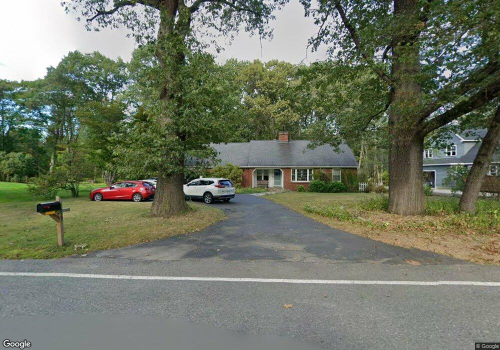
829 West St Leominster, MA 01453
Estimated Value: $541,000 - $802,000
3
Beds
2
Baths
1,863
Sq Ft
$334/Sq Ft
Est. Value
About This Home
This home is located at 829 West St, Leominster, MA 01453 and is currently estimated at $621,326, approximately $333 per square foot. 829 West St is a home located in Worcester County with nearby schools including Leominster High School, St. Leo School, and St Bernards Elementary School.
Ownership History
Date
Name
Owned For
Owner Type
Purchase Details
Closed on
Apr 28, 1997
Sold by
Arsenault David J and Arsenault Sylvia
Bought by
Bitter William M and Bitter Margaret M
Current Estimated Value
Home Financials for this Owner
Home Financials are based on the most recent Mortgage that was taken out on this home.
Original Mortgage
$177,650
Interest Rate
7.77%
Mortgage Type
Purchase Money Mortgage
Purchase Details
Closed on
Jul 2, 1987
Sold by
Sadlon Stephen L
Bought by
Arsenault P
Create a Home Valuation Report for This Property
The Home Valuation Report is an in-depth analysis detailing your home's value as well as a comparison with similar homes in the area
Home Values in the Area
Average Home Value in this Area
Purchase History
| Date | Buyer | Sale Price | Title Company |
|---|---|---|---|
| Bitter William M | $187,000 | -- | |
| Arsenault P | $185,000 | -- |
Source: Public Records
Mortgage History
| Date | Status | Borrower | Loan Amount |
|---|---|---|---|
| Open | Arsenault P | $138,669 | |
| Closed | Arsenault P | $178,000 | |
| Closed | Arsenault P | $177,900 | |
| Closed | Arsenault P | $177,650 |
Source: Public Records
Tax History Compared to Growth
Tax History
| Year | Tax Paid | Tax Assessment Tax Assessment Total Assessment is a certain percentage of the fair market value that is determined by local assessors to be the total taxable value of land and additions on the property. | Land | Improvement |
|---|---|---|---|---|
| 2025 | $7,509 | $535,200 | $203,800 | $331,400 |
| 2024 | $7,326 | $504,900 | $194,000 | $310,900 |
| 2023 | $7,114 | $457,800 | $168,800 | $289,000 |
| 2022 | $6,756 | $408,000 | $146,900 | $261,100 |
| 2021 | $6,590 | $363,500 | $114,200 | $249,300 |
| 2020 | $6,138 | $341,400 | $114,200 | $227,200 |
| 2019 | $6,159 | $332,200 | $115,900 | $216,300 |
| 2018 | $5,921 | $306,300 | $105,400 | $200,900 |
| 2017 | $5,560 | $281,800 | $98,500 | $183,300 |
| 2016 | $5,390 | $275,300 | $98,500 | $176,800 |
| 2015 | $5,266 | $270,900 | $98,500 | $172,400 |
| 2014 | $5,231 | $276,900 | $107,700 | $169,200 |
Source: Public Records
Map
Nearby Homes
- 15 Glen Ave
- 20 Oregon Ave
- 20 Pleasantview Ave
- 1220 Water St
- 22 Westland Ave
- 837 Mount Elam Rd
- 58 Lindell Ave
- 59 Kenniston St
- 44 Hale St
- 47 Hale St
- 535 South St Unit 4-2A
- 535 South St Unit 14-2A
- 535 South St Unit 11-2A
- 83 Eleanor St
- 27 Haynes Ct
- 45 Fruit St Unit A
- 45 Fruit St Unit B
- 505 Old South St
- 12 Lindell Ave
- 2 Arden Mills Way Unit 2210