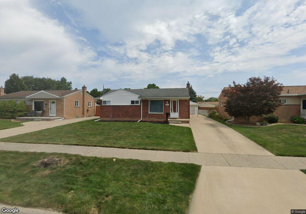
8291 Huron St Taylor, MI 48180
Estimated Value: $157,648 - $206,000
Studio
--
Bath
1,067
Sq Ft
$173/Sq Ft
Est. Value
About This Home
This home is located at 8291 Huron St, Taylor, MI 48180 and is currently estimated at $184,162, approximately $172 per square foot. 8291 Huron St is a home located in Wayne County with nearby schools including Blair Moody Elementary School, Robert J. West Middle School, and Cabrini Elementary & Middle School.
Ownership History
Date
Name
Owned For
Owner Type
Purchase Details
Closed on
Apr 23, 2003
Sold by
Adkins Tracy Anne and Ratkewicz Tracy Anne
Bought by
Adkins Jeffrey L
Current Estimated Value
Home Financials for this Owner
Home Financials are based on the most recent Mortgage that was taken out on this home.
Original Mortgage
$100,000
Outstanding Balance
$43,338
Interest Rate
5.87%
Mortgage Type
Purchase Money Mortgage
Estimated Equity
$140,824
Purchase Details
Closed on
Dec 13, 1996
Sold by
Falz Constance and Falz Felix V
Bought by
Sierota Sean C Ratkewicz and Sierota Tracy A
Create a Home Valuation Report for This Property
The Home Valuation Report is an in-depth analysis detailing your home's value as well as a comparison with similar homes in the area
Home Values in the Area
Average Home Value in this Area
Purchase History
We collect this data history from publicly available records. To have your information removed, we recommend requesting removal directly through your county’s website.
| Date | Buyer | Sale Price | Title Company |
|---|---|---|---|
| Adkins Jeffrey L | -- | Michigan Title Insurance Age | |
| Sierota Sean C Ratkewicz | $97,000 | -- |
Source: Public Records
Mortgage History
We collect this data history from publicly available records. To have your information removed, we recommend requesting removal directly through your county’s website.
| Date | Status | Borrower | Loan Amount |
|---|---|---|---|
| Open | Adkins Jeffrey L | $100,000 |
Source: Public Records
Tax History
| Year | Tax Paid | Tax Assessment Tax Assessment Total Assessment is a certain percentage of the fair market value that is determined by local assessors to be the total taxable value of land and additions on the property. | Land | Improvement |
|---|---|---|---|---|
| 2025 | $2,029 | $94,400 | $0 | $0 |
| 2024 | $1,964 | $90,300 | $0 | $0 |
| 2023 | $2,342 | $79,600 | $0 | $0 |
| 2022 | $1,875 | $70,400 | $0 | $0 |
| 2021 | $2,061 | $63,400 | $0 | $0 |
| 2020 | $2,040 | $60,600 | $0 | $0 |
| 2019 | $203,944 | $52,000 | $0 | $0 |
| 2018 | $1,610 | $41,300 | $0 | $0 |
| 2017 | $867 | $40,300 | $0 | $0 |
| 2016 | $1,987 | $39,200 | $0 | $0 |
| 2015 | $3,637 | $36,800 | $0 | $0 |
| 2013 | $3,620 | $36,900 | $0 | $0 |
| 2012 | $1,591 | $37,000 | $11,500 | $25,500 |
Source: Public Records
Map
Nearby Homes
- 8281 Huron St
- 20323 Champaign St
- 7972 Hipp St
- 7921 Jackson St
- 7854 Jackson St
- 8044 Pelham Rd
- 7919 Harding St
- 9134 Weddel St
- 7580 Mayfair St
- 8435 Clippert St
- 8062 Campbell St
- 8075 William St
- 8003 William St
- 7120 Jackson St
- 9444 Polk St
- 8944 William St
- 7210 Buckingham Ave
- 7134 Robinson Ave
- 21524 Wick Rd
- 7609 Dudley St
Your Personal Tour Guide
Ask me questions while you tour the home.