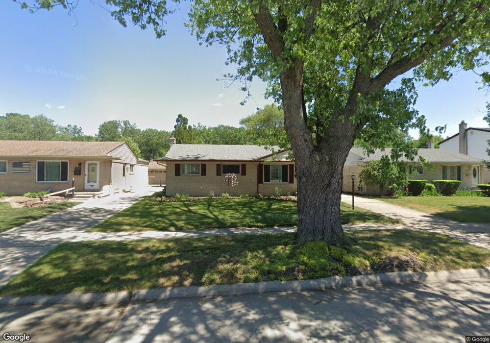
8292 Forrest Dr Canton, MI 48187
Estimated Value: $283,840 - $320,000
3
Beds
2
Baths
1,306
Sq Ft
$234/Sq Ft
Est. Value
About This Home
This home is located at 8292 Forrest Dr, Canton, MI 48187 and is currently estimated at $304,960, approximately $233 per square foot. 8292 Forrest Dr is a home located in Wayne County with nearby schools including Canton High School, East Middle School, and Salem High School.
Ownership History
Date
Name
Owned For
Owner Type
Purchase Details
Closed on
Jun 17, 2010
Sold by
Smyth Kristopher and Smyth Stephanie
Bought by
Sinker John A
Current Estimated Value
Purchase Details
Closed on
Apr 26, 2005
Sold by
Liguori Glenn M and Liguori Tiffany R
Bought by
Smyth Kristopher
Purchase Details
Closed on
Mar 7, 2001
Sold by
Liguori Glenn M
Bought by
Clawson Judy E
Purchase Details
Closed on
Mar 21, 2000
Sold by
Clawson Douglas D
Bought by
Liguori Glenn M
Purchase Details
Closed on
Dec 10, 1998
Sold by
Phallat Jack
Bought by
Bclawson Douglas
Create a Home Valuation Report for This Property
The Home Valuation Report is an in-depth analysis detailing your home's value as well as a comparison with similar homes in the area
Home Values in the Area
Average Home Value in this Area
Purchase History
| Date | Buyer | Sale Price | Title Company |
|---|---|---|---|
| Sinker John A | $140,000 | None Available | |
| The John A Sinker Jr Revocable Trust | -- | None Available | |
| Smyth Kristopher | $202,000 | Commonwealth Land Title | |
| Clawson Judy E | -- | -- | |
| Liguori Glenn M | $45,000 | -- | |
| Bclawson Douglas | $145,000 | -- |
Source: Public Records
Tax History
| Year | Tax Paid | Tax Assessment Tax Assessment Total Assessment is a certain percentage of the fair market value that is determined by local assessors to be the total taxable value of land and additions on the property. | Land | Improvement |
|---|---|---|---|---|
| 2025 | $1,373 | $137,500 | $0 | $0 |
| 2024 | $1,334 | $125,000 | $0 | $0 |
| 2023 | $1,272 | $114,200 | $0 | $0 |
| 2022 | $2,852 | $103,000 | $0 | $0 |
| 2021 | $2,766 | $94,000 | $0 | $0 |
| 2020 | $2,732 | $90,800 | $0 | $0 |
| 2019 | $2,683 | $78,560 | $0 | $0 |
| 2018 | $1,081 | $75,380 | $0 | $0 |
| 2017 | $2,791 | $72,500 | $0 | $0 |
| 2016 | $2,445 | $69,600 | $0 | $0 |
| 2015 | $5,941 | $65,120 | $0 | $0 |
| 2013 | $5,756 | $59,990 | $0 | $0 |
| 2010 | -- | $66,830 | $28,234 | $38,596 |
Source: Public Records
Map
Nearby Homes
- 39857 Edmundton St
- 38443 Meghan Ln
- 8895 Knolson Ave
- 40504 Newport Dr
- 40526 Newport Dr Unit 99
- 38508 Alma Ln
- 40584 Newport Ct
- 40548 Newport Dr
- 40666 Newport Dr
- 40705 Newport Dr
- 39500 Warren Rd Unit 242
- 39500 Warren Rd Unit 144
- 39500 Warren Rd Unit 154
- 39500 Warren Rd Unit 115
- 39500 Warren Rd Unit 174
- 219 W Fern
- 37759 Colonial Dr Unit 70
- 37674 Colonial Dr S
- 38360 Overbrook Ln
- 39110 Orangelawn St
- 8306 Forrest Dr
- 8282 Forrest Dr
- 8318 Forrest Dr
- 8270 Forrest Dr
- 8295 Orhan St
- 8283 Orhan St
- 8307 Orhan St
- 8330 Forrest Dr
- 8258 Forrest Dr
- 8271 Orhan St
- 8319 Orhan St
- 8293 Forrest Dr
- 8281 Forrest Dr
- 8305 Forrest Dr
- 8259 Orhan St
- 8331 Orhan St
- 8269 Forrest Dr
- 8317 Forrest Dr
- 8246 Forrest Dr
- 8342 Forrest Dr
Your Personal Tour Guide
Ask me questions while you tour the home.