8296 State Route 722 Arcanum, OH 45304
Estimated Value: $256,000 - $347,000
4
Beds
2
Baths
2,488
Sq Ft
$128/Sq Ft
Est. Value
About This Home
This home is located at 8296 State Route 722, Arcanum, OH 45304 and is currently estimated at $318,392, approximately $127 per square foot. 8296 State Route 722 is a home with nearby schools including Franklin Monroe Elementary School and Franklin Monroe High School.
Ownership History
Date
Name
Owned For
Owner Type
Purchase Details
Closed on
Oct 6, 2020
Sold by
Brown Jane L
Bought by
Brown Grant R
Current Estimated Value
Home Financials for this Owner
Home Financials are based on the most recent Mortgage that was taken out on this home.
Original Mortgage
$168,000
Interest Rate
2.9%
Mortgage Type
New Conventional
Purchase Details
Closed on
Feb 3, 2017
Sold by
Brown Gary R & Jane L Trustees Of The Gary R
Bought by
Brown Jane L Trustee Of The Gary R
Create a Home Valuation Report for This Property
The Home Valuation Report is an in-depth analysis detailing your home's value as well as a comparison with similar homes in the area
Home Values in the Area
Average Home Value in this Area
Purchase History
| Date | Buyer | Sale Price | Title Company |
|---|---|---|---|
| Brown Grant R | $177,000 | None Available | |
| Brown Jane L Trustee Of The Gary R | -- | -- |
Source: Public Records
Mortgage History
| Date | Status | Borrower | Loan Amount |
|---|---|---|---|
| Previous Owner | Brown Grant R | $168,000 |
Source: Public Records
Tax History Compared to Growth
Tax History
| Year | Tax Paid | Tax Assessment Tax Assessment Total Assessment is a certain percentage of the fair market value that is determined by local assessors to be the total taxable value of land and additions on the property. | Land | Improvement |
|---|---|---|---|---|
| 2024 | $2,499 | $87,500 | $25,110 | $62,390 |
| 2023 | $2,503 | $87,500 | $25,110 | $62,390 |
| 2022 | $2,000 | $65,940 | $22,220 | $43,720 |
| 2021 | $2,018 | $65,940 | $22,220 | $43,720 |
| 2020 | $1,611 | $65,940 | $22,220 | $43,720 |
| 2019 | $4,431 | $272,700 | $220,550 | $52,150 |
| 2018 | $4,478 | $272,700 | $220,550 | $52,150 |
| 2017 | $4,564 | $271,890 | $219,740 | $52,150 |
| 2016 | $4,599 | $261,150 | $219,740 | $41,410 |
| 2015 | $4,599 | $261,150 | $219,740 | $41,410 |
| 2014 | $4,984 | $271,300 | $219,740 | $51,560 |
| 2013 | $3,373 | $230,890 | $179,330 | $51,560 |
Source: Public Records
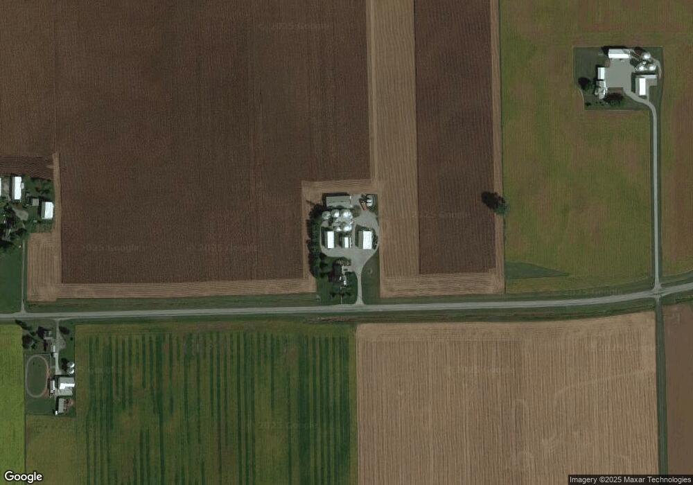
Map
Nearby Homes
- 7163 Georgetown Verona Rd
- 8784 Grubbs Rex Rd
- 1486 Ohio 49
- 2012 Ohio 49
- 140 State Route 503
- 10351 Number Nine Rd
- 6806 Darke-Preble County Line Rd
- 610 Pearl St
- 620 Pearl St
- 0 Ohio 722 Unit 10051560
- 0 Ohio 722 Unit 10 Acres 1040185
- 0 Ohio 722 Unit 938536
- 0 Ohio 722
- 9517 Verona Rd
- 107 Merrie Ln
- 693 Friday Rd
- 0 Friday Rd
- 200 N Jefferson St
- 10995 Rockridge Rd
- 6254 State Route 722
- 8172 State Route 722
- 8133 State Route 722
- 8046 State Route 722
- 8075 Ohio 722
- 8032 State Route 722
- 8020 State Route 722
- 8014 State Road 722
- 8014 State Route 722
- 8010 State Route 722
- 8002 State Route 722
- 7990 State Route 722
- 506 Verona Pitsburg Rd
- 8014 Ohio 722
- 210 North St
- 200 North St
- 752 Karr Rd
- 744 Karr Rd
- 273 Verona Pitsburg Rd
- 215 Blose Rd
- 212 North St