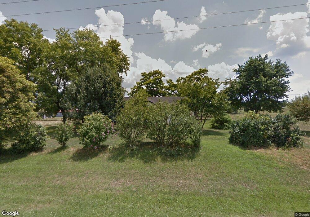
8299 State Highway 76 Exeter, MO 65647
Estimated Value: $94,000 - $165,000
2
Beds
1
Bath
1,152
Sq Ft
$112/Sq Ft
Est. Value
About This Home
This home is located at 8299 State Highway 76, Exeter, MO 65647 and is currently estimated at $129,500, approximately $112 per square foot. 8299 State Highway 76 is a home with nearby schools including Exeter Elementary School and Exeter High School.
Ownership History
Date
Name
Owned For
Owner Type
Purchase Details
Closed on
Jun 20, 2024
Sold by
Pointer Robert Faine and Pointer Esther Hale
Bought by
Shoal Creek Valley Farms Llc
Current Estimated Value
Purchase Details
Closed on
Mar 21, 2024
Sold by
Pointer Robert and Pointer Esther
Bought by
Robert And Esther Pointer Revocable Trust and Pointer
Purchase Details
Closed on
Feb 1, 2022
Sold by
Knittle Gloria A
Bought by
Pointer Robert and Pointer Esther
Home Financials for this Owner
Home Financials are based on the most recent Mortgage that was taken out on this home.
Original Mortgage
$128,000
Interest Rate
3.22%
Mortgage Type
New Conventional
Create a Home Valuation Report for This Property
The Home Valuation Report is an in-depth analysis detailing your home's value as well as a comparison with similar homes in the area
Purchase History
| Date | Buyer | Sale Price | Title Company |
|---|---|---|---|
| Shoal Creek Valley Farms Llc | -- | None Listed On Document | |
| Robert And Esther Pointer Revocable Trust | -- | None Listed On Document | |
| Pointer Robert | -- | Barry County Abstract & Title |
Source: Public Records
Mortgage History
| Date | Status | Borrower | Loan Amount |
|---|---|---|---|
| Previous Owner | Pointer Robert | $128,000 |
Source: Public Records
Tax History
| Year | Tax Paid | Tax Assessment Tax Assessment Total Assessment is a certain percentage of the fair market value that is determined by local assessors to be the total taxable value of land and additions on the property. | Land | Improvement |
|---|---|---|---|---|
| 2025 | $2,238 | $11,371 | $2,380 | $8,991 |
| 2024 | $6 | $10,630 | $2,380 | $8,250 |
| 2023 | $564 | $10,630 | $2,380 | $8,250 |
| 2022 | $554 | $10,440 | $2,190 | $8,250 |
| 2020 | $534 | $10,060 | $1,810 | $8,250 |
| 2018 | $535 | $10,396 | $1,810 | $8,586 |
| 2017 | $533 | $10,396 | $1,810 | $8,586 |
| 2016 | $461 | $8,782 | $1,620 | $7,162 |
| 2015 | -- | $8,782 | $1,620 | $7,162 |
| 2014 | -- | $8,758 | $1,596 | $7,162 |
| 2012 | -- | $0 | $0 | $0 |
Source: Public Records
Map
Nearby Homes
- 18674 Farm Road 1045
- 5890 Farm Road 2190
- 6729 State Highway 76
- Tbd Farm Road 1040
- 000-4 Farm Road 2187
- 000-3 Farm Road 2187
- 19799 Farm Road 1043
- 19760 Farm Road 1042
- 12AC Farm Road 2182
- 3966 Farm Road 2190
- 201 Broadway St
- 208 Cass Ave
- 111 Maple St
- 000 Farm Road 1047
- 1067 Farm Road 2170
- 21671 State Highway 37
- 000 Farm Road 2160
- 23912 State Highway 37
- 1400 Old Exeter Rd
- 15223 State Highway 37
- 8300 State Highway 76
- 18567 Farm Road 1040
- 8624 State Highway 76
- 20119 Farm Road 1025
- 7768 State Highway 76
- 5046 Farm Road 2187
- 000 Farm Road 1045
- 5409 Farm Road 2175
- 2175 NW Farm Rd
- 7396 State Highway 76
- 4194 Farm Road 2182
- 5896 Farm Road 2187
- 6556 Farm Road 2190
- 17658 Farm Road 1040
- 6923 State Highway 86
- 18797 Farm Road 1045
- 4992 Farm Road 2175
- 000 (6.71) Farm Road 1045
- 4594 Farm Road 2187
- 18724 Farm Road 1057
Your Personal Tour Guide
Ask me questions while you tour the home.