82B Warrens Point Rd Little Compton, RI 02837
Estimated Value: $4,246,477 - $6,301,000
1
Bed
1
Bath
1,100
Sq Ft
$4,712/Sq Ft
Est. Value
About This Home
This home is located at 82B Warrens Point Rd, Little Compton, RI 02837 and is currently estimated at $5,182,826, approximately $4,711 per square foot. 82B Warrens Point Rd is a home located in Newport County with nearby schools including Wilbur & McMahon School.
Ownership History
Date
Name
Owned For
Owner Type
Purchase Details
Closed on
Oct 1, 2018
Sold by
Alvarado Marcos and Alvarado Serena M
Bought by
White Joshua C
Current Estimated Value
Purchase Details
Closed on
Jul 27, 2018
Sold by
Alvarado Marcos and Merriman-Alvarado Serena
Bought by
David W Merriman Ret and Virginia A Merriman Re
Purchase Details
Closed on
May 13, 2014
Sold by
Merriman David W
Bought by
Merriman David W and Merriman Virginia A
Create a Home Valuation Report for This Property
The Home Valuation Report is an in-depth analysis detailing your home's value as well as a comparison with similar homes in the area
Home Values in the Area
Average Home Value in this Area
Purchase History
| Date | Buyer | Sale Price | Title Company |
|---|---|---|---|
| White Joshua C | $2,900,000 | -- | |
| David W Merriman Ret | -- | -- | |
| Merriman David W | -- | -- |
Source: Public Records
Tax History Compared to Growth
Tax History
| Year | Tax Paid | Tax Assessment Tax Assessment Total Assessment is a certain percentage of the fair market value that is determined by local assessors to be the total taxable value of land and additions on the property. | Land | Improvement |
|---|---|---|---|---|
| 2025 | $25,341 | $5,290,500 | $4,704,700 | $585,800 |
| 2024 | $19,344 | $3,807,800 | $3,229,000 | $578,800 |
| 2023 | $18,887 | $3,807,800 | $3,229,000 | $578,800 |
| 2022 | $18,658 | $3,807,800 | $3,229,000 | $578,800 |
| 2021 | $18,746 | $3,103,700 | $2,723,500 | $380,200 |
| 2020 | $18,591 | $3,103,700 | $2,723,500 | $380,200 |
| 2019 | $18,405 | $3,103,700 | $2,723,500 | $380,200 |
| 2018 | $18,187 | $3,249,500 | $2,877,200 | $372,300 |
| 2016 | $17,793 | $3,138,100 | $2,877,200 | $260,900 |
| 2015 | $13,617 | $2,368,200 | $2,107,700 | $260,500 |
| 2014 | $13,357 | $2,368,200 | $2,107,700 | $260,500 |
Source: Public Records
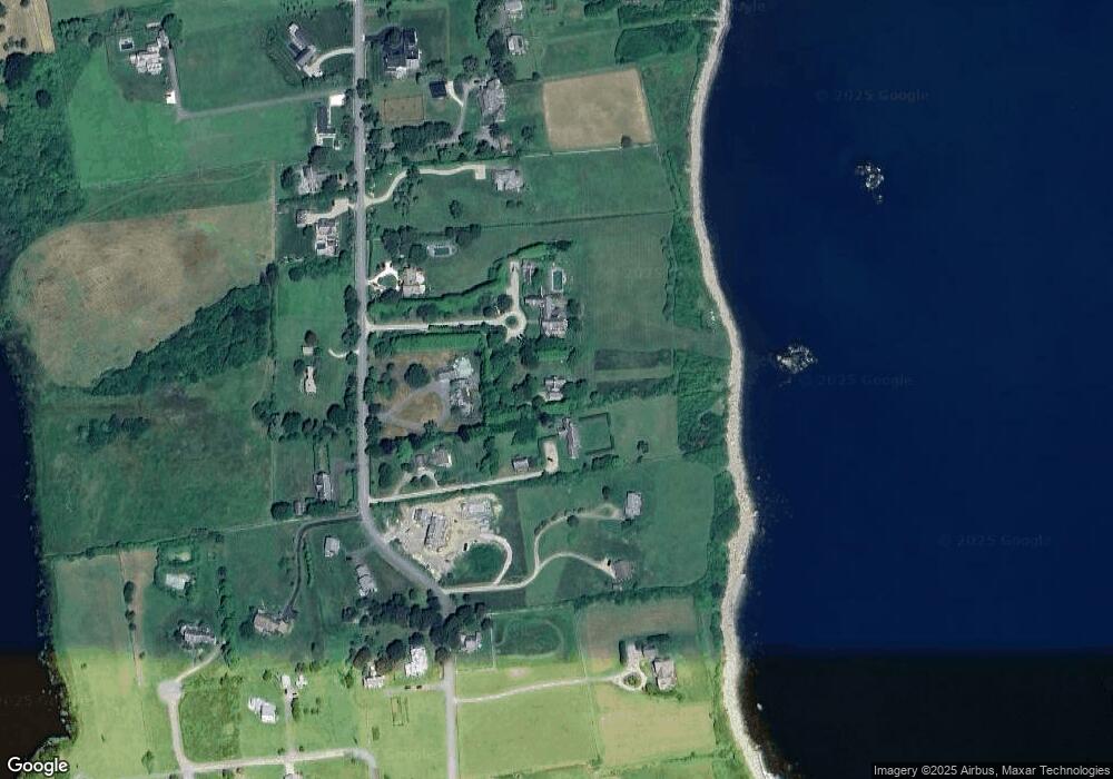
Map
Nearby Homes
- 141 S Of Commons Rd
- 536 W Main Rd
- 18 Old Barn Rd
- 128 Maple Ave
- 441 W Main Rd
- 304 Brayton Point Rd
- 189 Brayton Point Rd
- 0 Willow Ave
- 505 Long Hwy
- 515 Indian Ave
- 180 W Main Rd
- 255 John Dyer Rd
- 19 Seabury Ln
- 17 Ferolbink Way
- 155 W Main Rd
- 62 Howland Ave
- 78 Cornelius Dr
- 10 Bartlett Rd
- 141 Gray Craig Rd
- 6 June Way
- 82 Warrens Point Rd
- 82 Warrens Point Rd Unit A
- 82 Warrens Point Rd
- 88 Warrens Point Rd
- 84 Warrens Point Rd
- 82 Warren's Point Rd
- 6 Grinnell Rd
- 86 Warrens Point Rd
- 80 Warrens Point Rd
- 10 Grinnell Rd
- 74 Warren's Point Rd
- 74 Warrens Point Rd
- 61 Warrens Point Rd
- 61 Warren's Point Rd
- 63 Warren's Point Rd
- 63 Warrens Point Rd
- 2 Grinnell Rd
- 0 Grinnell Rd
- 83 Warrens Point Rd
- 87 Warrens Point Rd