83 Arrowhead Cir Ashland, MA 01721
Estimated Value: $572,000 - $609,000
2
Beds
3
Baths
1,868
Sq Ft
$320/Sq Ft
Est. Value
About This Home
This home is located at 83 Arrowhead Cir, Ashland, MA 01721 and is currently estimated at $597,084, approximately $319 per square foot. 83 Arrowhead Cir is a home located in Middlesex County with nearby schools including William Pittaway Elementary School, Henry E. Warren Elementary School, and David Mindess Elementary School.
Ownership History
Date
Name
Owned For
Owner Type
Purchase Details
Closed on
Dec 3, 1993
Sold by
Fafard Re & Dev Corp
Bought by
Yovicsin Thomas J
Current Estimated Value
Home Financials for this Owner
Home Financials are based on the most recent Mortgage that was taken out on this home.
Original Mortgage
$70,000
Interest Rate
6.69%
Mortgage Type
Purchase Money Mortgage
Create a Home Valuation Report for This Property
The Home Valuation Report is an in-depth analysis detailing your home's value as well as a comparison with similar homes in the area
Home Values in the Area
Average Home Value in this Area
Purchase History
| Date | Buyer | Sale Price | Title Company |
|---|---|---|---|
| Yovicsin Thomas J | $130,990 | -- |
Source: Public Records
Mortgage History
| Date | Status | Borrower | Loan Amount |
|---|---|---|---|
| Open | Yovicsin Thomas J | $240,000 | |
| Closed | Yovicsin Thomas J | $70,000 |
Source: Public Records
Tax History
| Year | Tax Paid | Tax Assessment Tax Assessment Total Assessment is a certain percentage of the fair market value that is determined by local assessors to be the total taxable value of land and additions on the property. | Land | Improvement |
|---|---|---|---|---|
| 2025 | $6,679 | $523,000 | $0 | $523,000 |
| 2024 | $6,480 | $489,400 | $0 | $489,400 |
| 2023 | $6,225 | $452,100 | $0 | $452,100 |
| 2022 | $6,288 | $396,000 | $0 | $396,000 |
| 2021 | $6,070 | $381,072 | $0 | $381,072 |
| 2020 | $5,916 | $366,100 | $0 | $366,100 |
| 2019 | $5,535 | $340,000 | $0 | $340,000 |
| 2018 | $5,337 | $321,300 | $0 | $321,300 |
| 2017 | $4,992 | $298,900 | $0 | $298,900 |
| 2016 | $4,859 | $285,800 | $0 | $285,800 |
| 2015 | $4,783 | $276,464 | $0 | $276,464 |
| 2014 | $4,674 | $268,800 | $0 | $268,800 |
Source: Public Records
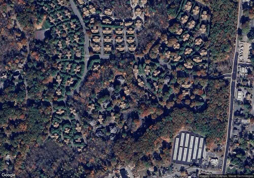
Map
Nearby Homes
- 2 Arrowhead Cir Unit 2
- 102 Captain Eames Cir
- 45 Half Crown Cir
- 196 Algonquin Trail Unit 196
- 140 Algonquin Trail
- 73 Half Crown Cir
- 37 James Rd
- 207 Eliot St
- 54 Tri St
- 86 E Bluff Rd
- 72 Fruit St
- 9 Mountain Gate Rd
- 54 Mountain Gate Rd
- 363 Eliot St
- 73 Trailside Way
- 18 Sherborne Cir
- 89 Trailside Way
- 276 Trailside Way Unit 276
- 20 Mulhall Dr
- 306 Trailside Way
- 75 Arrowhead Cir
- 85 Arrowhead Cir
- 77 Arrowhead Cir
- 77 Arrowhead Cir Unit 77
- 109 Arrowhead Cir
- 81 Arrowhead Cir
- 79 Arrowhead Cir
- 79 Arrowhead Cir Unit 116B
- 79 Arrowhead Cir Unit 79
- 95 Arrowhead Cir
- 97 Arrowhead Cir
- 89 Arrowhead Cir
- 87 Arrowhead Cir
- 101 Arrowhead Cir
- 73 Arrowhead Cir
- 71 Arrowhead Cir
- 119 Arrowhead Cir
- 93 Arrowhead Cir
- 91 Arrowhead Cir
- 91 Arrowhead Cir Unit 91
Your Personal Tour Guide
Ask me questions while you tour the home.