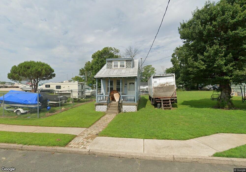
83 Bartram Ave Essington, PA 19029
Estimated Value: $291,323 - $345,000
2
Beds
2
Baths
1,813
Sq Ft
$171/Sq Ft
Est. Value
About This Home
This home is located at 83 Bartram Ave, Essington, PA 19029 and is currently estimated at $310,081, approximately $171 per square foot. 83 Bartram Ave is a home located in Delaware County with nearby schools including Interboro Senior High School and St James Regional Catholic School.
Ownership History
Date
Name
Owned For
Owner Type
Purchase Details
Closed on
Jun 19, 2024
Sold by
Marr Joann
Bought by
Marr Joann and Marr David
Current Estimated Value
Purchase Details
Closed on
Jan 5, 2006
Sold by
Newlin Thomas J and Estate Of Judith Newlin
Bought by
Marr Francis A and Marr Joann
Home Financials for this Owner
Home Financials are based on the most recent Mortgage that was taken out on this home.
Original Mortgage
$160,000
Interest Rate
6.15%
Mortgage Type
Seller Take Back
Create a Home Valuation Report for This Property
The Home Valuation Report is an in-depth analysis detailing your home's value as well as a comparison with similar homes in the area
Home Values in the Area
Average Home Value in this Area
Purchase History
| Date | Buyer | Sale Price | Title Company |
|---|---|---|---|
| Marr Joann | -- | None Listed On Document | |
| Marr Francis A | $200,000 | None Available |
Source: Public Records
Mortgage History
| Date | Status | Borrower | Loan Amount |
|---|---|---|---|
| Previous Owner | Marr Francis A | $160,000 |
Source: Public Records
Tax History
| Year | Tax Paid | Tax Assessment Tax Assessment Total Assessment is a certain percentage of the fair market value that is determined by local assessors to be the total taxable value of land and additions on the property. | Land | Improvement |
|---|---|---|---|---|
| 2025 | $4,593 | $145,290 | $71,810 | $73,480 |
| 2024 | $4,593 | $145,290 | $71,810 | $73,480 |
| 2023 | $4,516 | $145,290 | $71,810 | $73,480 |
| 2022 | $4,432 | $145,290 | $71,810 | $73,480 |
| 2021 | $6,418 | $145,290 | $71,810 | $73,480 |
| 2020 | $5,723 | $124,290 | $51,150 | $73,140 |
| 2019 | $5,837 | $124,290 | $51,150 | $73,140 |
| 2018 | $5,723 | $124,290 | $0 | $0 |
| 2017 | $682 | $124,290 | $0 | $0 |
| 2016 | $682 | $124,290 | $0 | $0 |
| 2015 | $682 | $124,290 | $0 | $0 |
| 2014 | $696 | $124,290 | $0 | $0 |
Source: Public Records
Map
Nearby Homes
- 15 Riverwatch Ct Unit 22
- 206 Bartram Ave
- 134 Putcan Ave
- 518 Jansen Ave
- 506 Corinthian Ave
- 16 Seneca St
- 612 Saude Ave
- 655 Saude Ave
- 215 Chippewa St
- 335 Pontiac St
- 631 Darby Rd
- 236 Willard Dr
- 124 Stoney Hill Rd
- 830 4th Ave
- 663 Clymer Ln
- 161 Fairmount Ave
- 992 Taylor Dr
- 218 Riverview Ave
- 22 Partridge Ave
- 722 Lincoln Ave
Your Personal Tour Guide
Ask me questions while you tour the home.