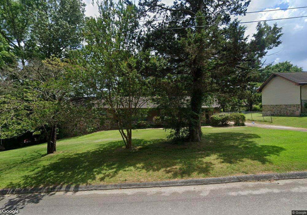
83 Battlefield Cir Ringgold, GA 30736
Estimated Value: $272,916 - $325,000
--
Bed
2
Baths
1,572
Sq Ft
$188/Sq Ft
Est. Value
About This Home
This home is located at 83 Battlefield Cir, Ringgold, GA 30736 and is currently estimated at $295,229, approximately $187 per square foot. 83 Battlefield Cir is a home located in Catoosa County with nearby schools including Boynton Elementary School, Heritage Middle School, and Heritage High School.
Ownership History
Date
Name
Owned For
Owner Type
Purchase Details
Closed on
Aug 15, 2023
Sold by
Rape Deborah Ann
Bought by
Rape Deborah Ann
Current Estimated Value
Home Financials for this Owner
Home Financials are based on the most recent Mortgage that was taken out on this home.
Original Mortgage
$112,000
Outstanding Balance
$109,434
Interest Rate
6.78%
Mortgage Type
New Conventional
Estimated Equity
$185,795
Purchase Details
Closed on
Jan 31, 2023
Sold by
Stoker Glenda Faye Atkins
Bought by
Rape Deborah Ann and Atkins Stephen
Create a Home Valuation Report for This Property
The Home Valuation Report is an in-depth analysis detailing your home's value as well as a comparison with similar homes in the area
Home Values in the Area
Average Home Value in this Area
Purchase History
| Date | Buyer | Sale Price | Title Company |
|---|---|---|---|
| Rape Deborah Ann | -- | -- | |
| Rape Deborah Ann | -- | -- |
Source: Public Records
Mortgage History
| Date | Status | Borrower | Loan Amount |
|---|---|---|---|
| Open | Rape Deborah Ann | $112,000 |
Source: Public Records
Tax History Compared to Growth
Tax History
| Year | Tax Paid | Tax Assessment Tax Assessment Total Assessment is a certain percentage of the fair market value that is determined by local assessors to be the total taxable value of land and additions on the property. | Land | Improvement |
|---|---|---|---|---|
| 2024 | $2,270 | $108,418 | $11,074 | $97,344 |
| 2023 | $1,905 | $85,112 | $11,074 | $74,038 |
| 2022 | $507 | $73,006 | $11,074 | $61,932 |
| 2021 | $403 | $73,006 | $11,074 | $61,932 |
| 2020 | $1,423 | $61,502 | $11,074 | $50,428 |
| 2019 | $373 | $61,502 | $11,074 | $50,428 |
| 2018 | $1,469 | $59,468 | $9,040 | $50,428 |
| 2017 | $1,322 | $56,928 | $9,040 | $47,888 |
| 2016 | $1,248 | $51,457 | $9,040 | $42,417 |
| 2015 | -- | $51,457 | $9,040 | $42,417 |
| 2014 | -- | $51,457 | $9,040 | $42,417 |
| 2013 | -- | $51,456 | $9,040 | $42,416 |
Source: Public Records
Map
Nearby Homes
- 00 Battlefield Pkwy
- 187 US Grant Dr
- 49 Hillcrest Ct
- 1058 Woodgate Rd
- 0 Maple Way Unit 1514937
- 0 Maple Way Unit 1511007
- 172 Hickory Cir
- 322 Baggett Rd
- 3 Notch Rd
- 348 Baggett Rd
- 0 Old Mill Ln Unit 1519763
- 11 Hickory Ridge Trail
- 316 Townsend Cir
- 223 Hickory Ridge Trail
- 219 Hickory Ridge Trail
- 141 Old Mill Ln
- 75 Blue Bird Ln
- 95 Garden View Ln
- 210 Mill Ln
- 63 Apple Ln
- 63 Battlefield Cir
- 103 Battlefield Cir
- 92 Robert e Lee Dr
- 54 Robert e Lee Dr
- 72 Battlefield Cir
- 92 Battlefield Cir
- 37 Battlefield Cir
- 121 Battlefield Cir
- 65 Battlefield Cir
- 54 Battlefield Cir
- 118 Robert e Lee Dr
- 112 Battlefield Cir
- 112 Battlefield Cir Unit 10
- 34 Robert e Lee Dr
- 141 Battlefield Cir
- 132 Battlefield Dr
- 75 Robert e Lee Dr
- 20 Battlefield Cir
- 138 Battlefield Cir
- 95 Robert e Lee Dr