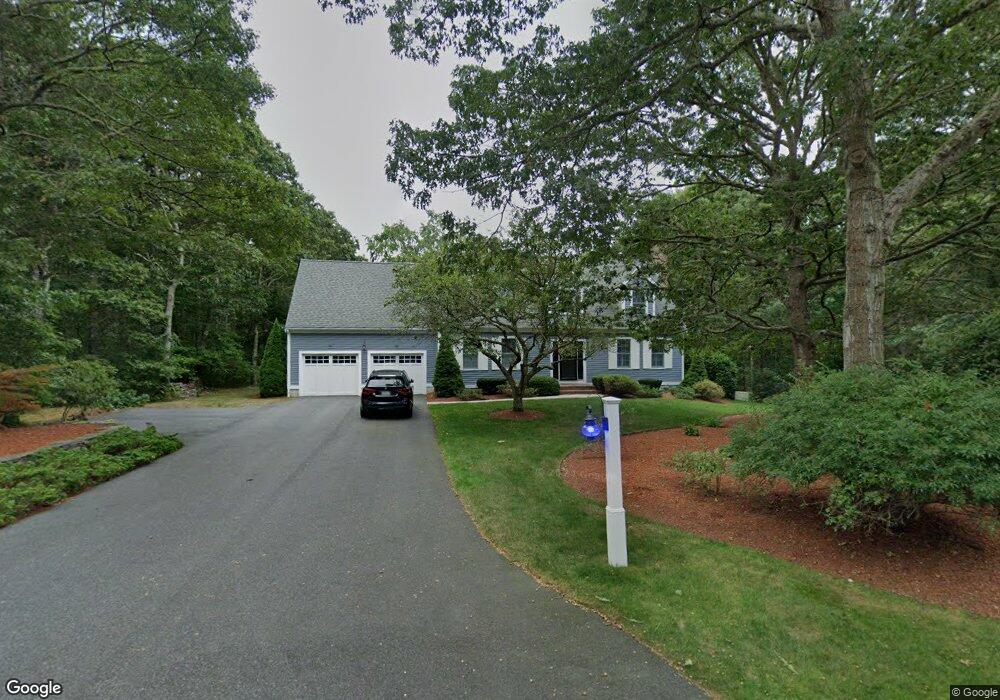
83 Benjamin Way West Yarmouth, MA 02673
West Yarmouth NeighborhoodEstimated Value: $776,000 - $1,286,000
3
Beds
4
Baths
2,444
Sq Ft
$392/Sq Ft
Est. Value
About This Home
This home is located at 83 Benjamin Way, West Yarmouth, MA 02673 and is currently estimated at $958,561, approximately $392 per square foot. 83 Benjamin Way is a home located in Barnstable County with nearby schools including Dennis-Yarmouth Regional High School, Barnstable Community Horace Mann Charter Public School, and Sturgis Charter Public School.
Ownership History
Date
Name
Owned For
Owner Type
Purchase Details
Closed on
Feb 7, 2025
Sold by
Lotane Michael P and Lotane Patricia D
Bought by
Patricia F & M Lotane Lt and Lotane
Current Estimated Value
Purchase Details
Closed on
Dec 16, 1993
Sold by
Powers Thomas B
Bought by
Lotane Michael P and Lotane Patricia D
Create a Home Valuation Report for This Property
The Home Valuation Report is an in-depth analysis detailing your home's value as well as a comparison with similar homes in the area
Home Values in the Area
Average Home Value in this Area
Purchase History
| Date | Buyer | Sale Price | Title Company |
|---|---|---|---|
| Patricia F & M Lotane Lt | -- | None Available | |
| Patricia F & M Lotane Lt | -- | None Available | |
| Lotane Michael P | $35,000 | -- | |
| Lotane Michael P | $35,000 | -- |
Source: Public Records
Mortgage History
| Date | Status | Borrower | Loan Amount |
|---|---|---|---|
| Previous Owner | Lotane Michael P | $391,500 | |
| Previous Owner | Lotane Michael P | $419,464 |
Source: Public Records
Tax History Compared to Growth
Tax History
| Year | Tax Paid | Tax Assessment Tax Assessment Total Assessment is a certain percentage of the fair market value that is determined by local assessors to be the total taxable value of land and additions on the property. | Land | Improvement |
|---|---|---|---|---|
| 2025 | $6,902 | $974,800 | $142,900 | $831,900 |
| 2024 | $6,632 | $898,600 | $150,500 | $748,100 |
| 2023 | $6,593 | $812,900 | $134,200 | $678,700 |
| 2022 | $5,848 | $637,000 | $120,600 | $516,400 |
| 2021 | $5,686 | $594,800 | $120,600 | $474,200 |
| 2020 | $5,456 | $533,500 | $120,500 | $413,000 |
| 2019 | $5,865 | $485,500 | $120,500 | $365,000 |
| 2018 | $4,766 | $463,200 | $98,200 | $365,000 |
| 2017 | $5,560 | $409,200 | $98,200 | $311,000 |
| 2016 | $3,995 | $400,300 | $89,300 | $311,000 |
| 2015 | $4,117 | $410,100 | $89,300 | $320,800 |
Source: Public Records
Map
Nearby Homes
- 248 Camp St Unit M5
- 441 Buck Island Rd Unit E5
- 441 Buck Island Rd Unit B1
- 441 Buck Island Rd Unit E1
- 300 Buck Island Rd Unit 8B
- 300 Buck Island Rd Unit 13F
- 300 Buck Island Rd Unit C13F
- 481 Buck Island Rd Unit 17FA
- 61 Coolidge Rd
- 29 Lumberjack Trail
- 68 Lumberjack Trail
- 9 Roberta Dr
- 11 Elizabeth Ln
- 12 Denver Dr
- 121 Camp St Unit 128
- 38 Traders Ln
- 222 Buck Island Rd Unit 3-4
- 0 Ken's Way
- 38 Traders Ln
- 23 Baxter Ave
- 73 Benjamin Way
- 78 Benjamin Way
- 65 Benjamin Way
- 84 Benjamin Way
- 70 Benjamin Way
- 7 Benjamin Way
- 88 Benjamin Way
- 51 Alijo Dr
- 62 Benjamin Way
- 56 Alijo Dr
- 50 Alijo Dr
- 50 Benjamin Way
- 297 Higgins Crowell Rd
- 39 Benjamin Way
- 29 Alijo Dr
- 11 Benjamin Way
- 8 Benjamin Way
- 40 Benjamin Way
- 28 Alijo Dr
- 21 Alijo Dr