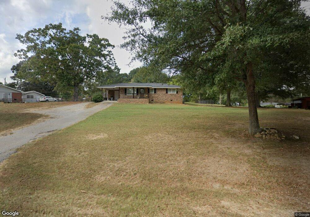
83 Bill Cir Carrollton, GA 30117
Estimated Value: $204,000 - $247,000
2
Beds
1
Bath
1,100
Sq Ft
$197/Sq Ft
Est. Value
About This Home
This home is located at 83 Bill Cir, Carrollton, GA 30117 and is currently estimated at $217,098, approximately $197 per square foot. 83 Bill Cir is a home located in Carroll County with nearby schools including Mt. Zion Elementary School, Mt. Zion Middle School, and Mt. Zion High School.
Ownership History
Date
Name
Owned For
Owner Type
Purchase Details
Closed on
Feb 27, 2023
Sold by
Mitchell Sarah Nicole Adams
Bought by
Mitchelll Sarah Nicole Adams and Mitchell Randall Keith
Current Estimated Value
Purchase Details
Closed on
Sep 2, 2011
Sold by
The Bank Of
Bought by
Adams Beverly
Purchase Details
Closed on
May 3, 2011
Sold by
Hawk Janice J
Bought by
The Bank Of New York Mellon
Purchase Details
Closed on
Aug 28, 1997
Bought by
Hawk Eugene D and Hawk Jani
Create a Home Valuation Report for This Property
The Home Valuation Report is an in-depth analysis detailing your home's value as well as a comparison with similar homes in the area
Home Values in the Area
Average Home Value in this Area
Purchase History
| Date | Buyer | Sale Price | Title Company |
|---|---|---|---|
| Mitchelll Sarah Nicole Adams | -- | -- | |
| Adams Beverly | $17,900 | -- | |
| The Bank Of New York Mellon | $31,500 | -- | |
| Hawk Eugene D | -- | -- |
Source: Public Records
Tax History Compared to Growth
Tax History
| Year | Tax Paid | Tax Assessment Tax Assessment Total Assessment is a certain percentage of the fair market value that is determined by local assessors to be the total taxable value of land and additions on the property. | Land | Improvement |
|---|---|---|---|---|
| 2024 | $1,042 | $59,534 | $5,710 | $53,824 |
| 2023 | $1,042 | $53,587 | $4,568 | $49,019 |
| 2022 | $837 | $42,371 | $3,046 | $39,325 |
| 2021 | $747 | $36,244 | $2,436 | $33,808 |
| 2020 | $670 | $31,916 | $2,215 | $29,701 |
| 2019 | $630 | $29,449 | $2,215 | $27,234 |
| 2018 | $574 | $25,848 | $2,070 | $23,778 |
| 2017 | $575 | $25,848 | $2,070 | $23,778 |
| 2016 | $681 | $25,848 | $2,070 | $23,778 |
| 2015 | $448 | $16,016 | $2,571 | $13,446 |
| 2014 | $450 | $16,016 | $2,571 | $13,446 |
Source: Public Records
Map
Nearby Homes
- 2994 Mount Zion Rd
- 2994 Mount Zion Rd Unit 1
- 2994 Mount Zion Rd Unit 3
- 85 Eureka Church Rd Unit 152
- 778 Harrison Rd
- 1202 Mount Zion Rd
- 33 Armstrong Dr
- 30 Joshua Way
- 10 Joshua Way
- 46 Gammon Rd
- 304 Kodiak Rd
- 113 Natures Pointe Trail
- 0 Wynn Rd
- 190 Marvin Gray Rd
- 1175 Burwell Mount Zion Rd
- 33 & 67 Lambert Ln
- 113 Richmond Dr
- 370 Simms Rd
- 436 S Prospect Ave
- 245 Delia Peace Rd
- 94 Bill Cir
- 31 Bill Cir
- 30 Pope Ln
- 76 Bill Cir
- 92 Bill Cir
- 50 Bill Cir
- 50 Pope Ln
- 3186 Mount Zion Rd
- 38 Bill Cir
- 56 Bill Cir
- 3240 Mount Zion Rd
- 3240 Mount Zion Rd
- 3160 Mount Zion Rd
- 53 Pope Ln
- 561 Eureka Church Rd
- 3250 Mount Zion Rd
- 527 Eureka Church Rd
- 591 Eureka Church Rd
- 3270 Mount Zion Rd
- 3142 Mount Zion Rd