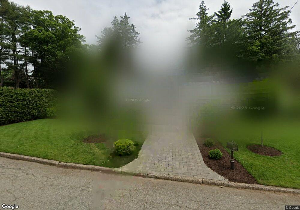
83 Briarcliff Rd Tenafly, NJ 07670
Estimated Value: $2,028,174 - $2,139,000
4
Beds
6
Baths
3,188
Sq Ft
$652/Sq Ft
Est. Value
About This Home
This home is located at 83 Briarcliff Rd, Tenafly, NJ 07670 and is currently estimated at $2,079,794, approximately $652 per square foot. 83 Briarcliff Rd is a home located in Bergen County with nearby schools including Tenafly Middle School, Tenafly High School, and Academy of Our Lady of Mount Carmel.
Ownership History
Date
Name
Owned For
Owner Type
Purchase Details
Closed on
Mar 26, 2019
Sold by
Kim Imchol and Lee Yung J
Bought by
Joseph Isaac L and Joseph Karen
Current Estimated Value
Purchase Details
Closed on
Apr 30, 2008
Sold by
Sahadi Ellen M and Sahadi Jeanne
Bought by
Imchol Kim and Kim Demy Yung J Lee
Home Financials for this Owner
Home Financials are based on the most recent Mortgage that was taken out on this home.
Original Mortgage
$540,000
Interest Rate
5.99%
Mortgage Type
New Conventional
Create a Home Valuation Report for This Property
The Home Valuation Report is an in-depth analysis detailing your home's value as well as a comparison with similar homes in the area
Home Values in the Area
Average Home Value in this Area
Purchase History
| Date | Buyer | Sale Price | Title Company |
|---|---|---|---|
| Joseph Isaac L | $1,400,000 | -- | |
| Imchol Kim | $985,000 | -- |
Source: Public Records
Mortgage History
| Date | Status | Borrower | Loan Amount |
|---|---|---|---|
| Previous Owner | Imchol Kim | $540,000 |
Source: Public Records
Tax History Compared to Growth
Tax History
| Year | Tax Paid | Tax Assessment Tax Assessment Total Assessment is a certain percentage of the fair market value that is determined by local assessors to be the total taxable value of land and additions on the property. | Land | Improvement |
|---|---|---|---|---|
| 2025 | $27,697 | $974,900 | $574,500 | $400,400 |
| 2024 | $27,024 | $974,900 | $574,500 | $400,400 |
| 2023 | $26,371 | $974,900 | $574,500 | $400,400 |
| 2022 | $26,371 | $974,900 | $574,500 | $400,400 |
| 2021 | $25,074 | $974,900 | $574,500 | $400,400 |
| 2020 | $25,523 | $974,900 | $574,500 | $400,400 |
| 2019 | $25,074 | $974,900 | $574,500 | $400,400 |
| 2018 | $24,684 | $974,900 | $574,500 | $400,400 |
| 2017 | $24,597 | $974,900 | $574,500 | $400,400 |
| 2016 | $24,109 | $974,900 | $574,500 | $400,400 |
| 2015 | $23,573 | $974,900 | $574,500 | $400,400 |
| 2014 | $23,134 | $974,900 | $574,500 | $400,400 |
Source: Public Records
Map
Nearby Homes
- 109 Stonehurst Dr
- 136 Stonehurst Dr
- 4 Depeyster Ave
- 22 Old Smith Rd
- 29 Woodland Park Dr
- 12 Westervelt Ave
- 84 Howard Park Dr
- 20 Westervelt Ave
- 67 Forest Rd
- 91 Tekening Dr
- 5 Leslie Place
- 55 Ridge Rd
- 84 Depeyster Ave
- 54 Westervelt Ave Unit B
- 162 Elm St
- 76 Franklin St Unit B
- 79 Berkeley Dr
- 57 George St
- 158 Oxford Dr
- 27 W Clinton Ave Unit 2-M
- 53 Briarcliff Rd
- 98 Stonehurst Dr
- 90 Briarcliff Rd
- 78 Briarcliff Rd
- 58 Briarcliff Rd
- 152 Thatcher Rd
- 92 Stonehurst Dr
- 140 Thatcher Rd
- 109 Thatcher Rd
- 134 Thatcher Rd
- 47 Briarcliff Rd
- 54 Briarcliff Rd
- 128 Thatcher Rd
- 110 Stonehurst Dr
- 85 Creston Ave
- 74 Stonehurst Dr
- 75 Creston Ave
- 99 Creston Ave
- 35 Briarcliff Rd
- 99 Stonehurst Dr