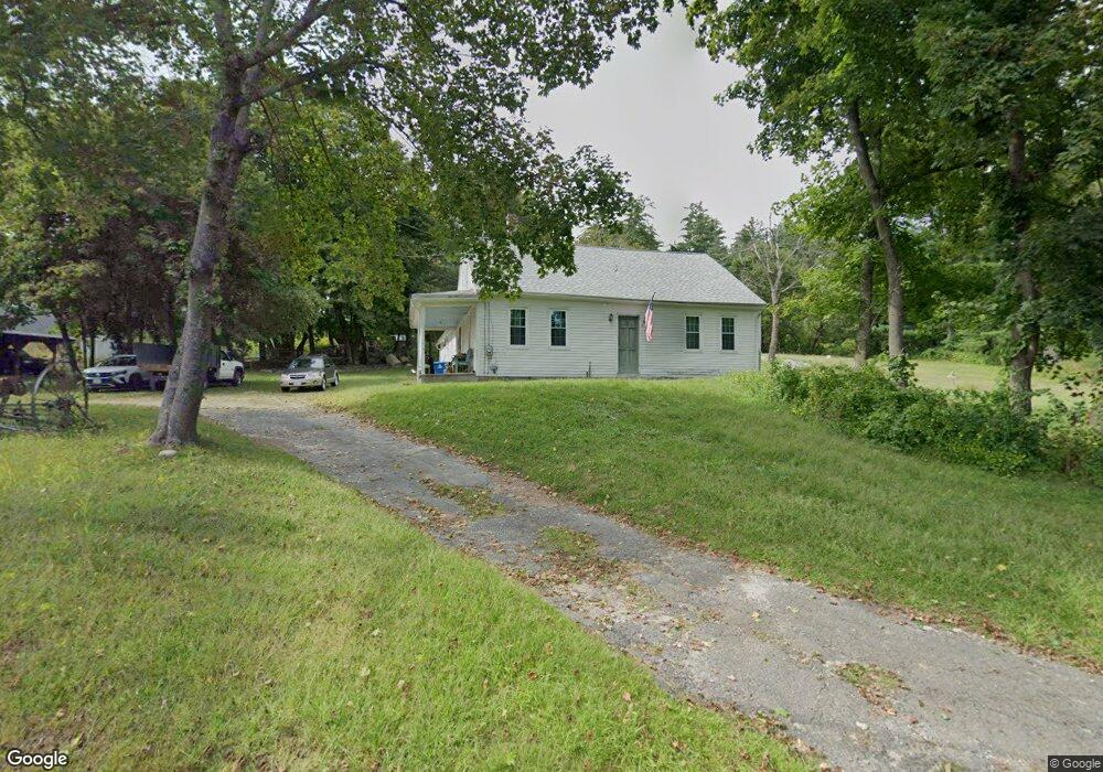
83 Bumstead Rd Monson, MA 01057
Estimated Value: $287,000 - $404,000
2
Beds
1
Bath
1,350
Sq Ft
$240/Sq Ft
Est. Value
About This Home
This home is located at 83 Bumstead Rd, Monson, MA 01057 and is currently estimated at $324,019, approximately $240 per square foot. 83 Bumstead Rd is a home located in Hampden County with nearby schools including Quarry Hill Community School, Granite Valley School, and Monson High School.
Ownership History
Date
Name
Owned For
Owner Type
Purchase Details
Closed on
Mar 30, 2018
Sold by
Eleanor Miller
Bought by
Finnegan Shane
Current Estimated Value
Home Financials for this Owner
Home Financials are based on the most recent Mortgage that was taken out on this home.
Original Mortgage
$172,924
Outstanding Balance
$148,712
Interest Rate
4.44%
Estimated Equity
$175,307
Purchase Details
Closed on
Nov 30, 2017
Sold by
Furgal Stella F Est
Bought by
Robert Jane and Schetzel Constance
Purchase Details
Closed on
Aug 3, 1965
Bought by
Furgal Stella F
Create a Home Valuation Report for This Property
The Home Valuation Report is an in-depth analysis detailing your home's value as well as a comparison with similar homes in the area
Home Values in the Area
Average Home Value in this Area
Purchase History
| Date | Buyer | Sale Price | Title Company |
|---|---|---|---|
| Finnegan Shane | $132,500 | -- | |
| Robert Jane | -- | -- | |
| Furgal Stella F | -- | -- |
Source: Public Records
Mortgage History
| Date | Status | Borrower | Loan Amount |
|---|---|---|---|
| Open | Furgal Stella F | $172,924 | |
| Closed | Furgal Stella F | -- |
Source: Public Records
Tax History
| Year | Tax Paid | Tax Assessment Tax Assessment Total Assessment is a certain percentage of the fair market value that is determined by local assessors to be the total taxable value of land and additions on the property. | Land | Improvement |
|---|---|---|---|---|
| 2025 | $3,911 | $263,000 | $93,500 | $169,500 |
| 2024 | $3,932 | $253,700 | $93,500 | $160,200 |
| 2023 | $3,672 | $231,500 | $93,500 | $138,000 |
| 2022 | $3,497 | $205,900 | $93,500 | $112,400 |
| 2021 | $3,497 | $193,000 | $93,500 | $99,500 |
| 2020 | $3,526 | $193,000 | $93,500 | $99,500 |
| 2019 | $3,325 | $181,300 | $93,500 | $87,800 |
| 2018 | $3,422 | $194,420 | $100,820 | $93,600 |
| 2017 | $3,285 | $188,710 | $98,310 | $90,400 |
| 2016 | $3,279 | $191,540 | $101,140 | $90,400 |
| 2015 | $3,193 | $191,540 | $101,140 | $90,400 |
| 2014 | $3,103 | $191,540 | $101,140 | $90,400 |
Source: Public Records
Map
Nearby Homes
Your Personal Tour Guide
Ask me questions while you tour the home.