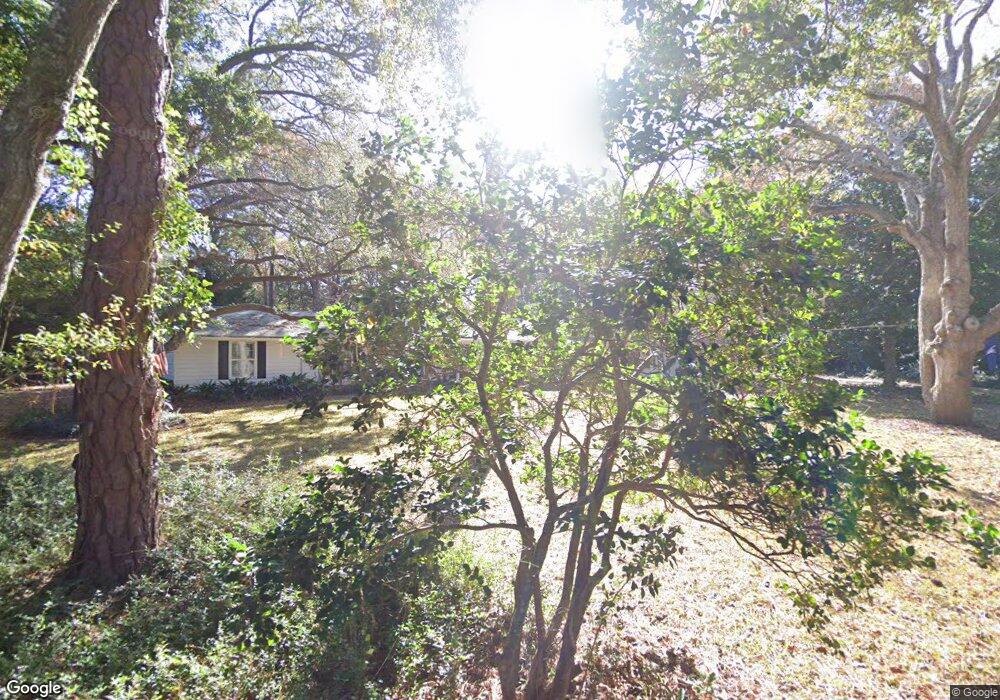
83 Cedar Ln Unit MB Myrtle Beach, SC 29572
Estimated Value: $834,264 - $918,000
3
Beds
2
Baths
2,592
Sq Ft
$334/Sq Ft
Est. Value
About This Home
This home is located at 83 Cedar Ln Unit MB, Myrtle Beach, SC 29572 and is currently estimated at $866,816, approximately $334 per square foot. 83 Cedar Ln Unit MB is a home located in Horry County with nearby schools including Myrtle Beach Child Development Center, Myrtle Beach Primary School, and Myrtle Beach Middle School.
Ownership History
Date
Name
Owned For
Owner Type
Purchase Details
Closed on
Feb 28, 2003
Sold by
Roeder Gregory A and Roeder Carol H
Bought by
Simeone Robert A and Simeone Elizabeth J
Current Estimated Value
Home Financials for this Owner
Home Financials are based on the most recent Mortgage that was taken out on this home.
Original Mortgage
$278,000
Outstanding Balance
$114,161
Interest Rate
5.88%
Mortgage Type
Purchase Money Mortgage
Estimated Equity
$752,655
Purchase Details
Closed on
Apr 19, 2000
Sold by
Calamari Robert C and Calamari Jennifer K
Bought by
Roeder Gregory A and Roeder Carol H
Home Financials for this Owner
Home Financials are based on the most recent Mortgage that was taken out on this home.
Original Mortgage
$13,750
Interest Rate
8.23%
Mortgage Type
Purchase Money Mortgage
Create a Home Valuation Report for This Property
The Home Valuation Report is an in-depth analysis detailing your home's value as well as a comparison with similar homes in the area
Home Values in the Area
Average Home Value in this Area
Purchase History
| Date | Buyer | Sale Price | Title Company |
|---|---|---|---|
| Simeone Robert A | $347,500 | -- | |
| Roeder Gregory A | $275,000 | -- |
Source: Public Records
Mortgage History
| Date | Status | Borrower | Loan Amount |
|---|---|---|---|
| Open | Simeone Robert A | $278,000 | |
| Previous Owner | Roeder Gregory A | $13,750 | |
| Previous Owner | Roeder Gregory A | $233,750 |
Source: Public Records
Tax History
| Year | Tax Paid | Tax Assessment Tax Assessment Total Assessment is a certain percentage of the fair market value that is determined by local assessors to be the total taxable value of land and additions on the property. | Land | Improvement |
|---|---|---|---|---|
| 2025 | $1,808 | $0 | $0 | $0 |
| 2024 | $1,808 | $33,407 | $18,256 | $15,151 |
| 2023 | $1,808 | $15,694 | $11,815 | $3,879 |
| 2021 | $1,571 | $16,679 | $12,739 | $3,940 |
| 2020 | $1,491 | $16,679 | $12,739 | $3,940 |
| 2019 | $1,491 | $16,679 | $12,739 | $3,940 |
| 2018 | $1,363 | $13,646 | $8,302 | $5,344 |
| 2017 | $1,575 | $13,646 | $8,302 | $5,344 |
| 2016 | -- | $13,646 | $8,302 | $5,344 |
| 2015 | $1,575 | $13,647 | $8,303 | $5,344 |
| 2014 | $1,476 | $13,647 | $8,303 | $5,344 |
Source: Public Records
Map
Nearby Homes
- 64 Middle Gate Rd
- 815 Willow Trace
- 941 Skimmer Bay Bend
- 1100 Commons Blvd Unit 1206
- 1100 Commons Blvd Unit 508
- 1100 Commons Blvd Unit 713
- 1100 Commons Blvd Unit 402D
- 6 Robin Ave
- 491 Ocean Creek Dr Unit 2620
- 10301 N Kings Hwy Unit 21-6
- 10301 N Kings Hwy Unit 1-2
- 10301 N Kings Hwy Unit 15-6
- 415 Ocean Creek Dr Unit 2160
- 415 Ocean Creek Dr Unit 2112
- 415 Ocean Creek Dr Unit 2372
- 415 Ocean Creek Dr Unit 2330
- 415 Ocean Creek Dr Unit 2211
- 415 Ocean Creek Dr Unit 2280 Lodge IV
- 415 Ocean Creek Dr Unit 2401 Lodge I
- 415 Ocean Creek Dr Unit 2279
Your Personal Tour Guide
Ask me questions while you tour the home.