83 Cogswell Rd West Cornwall, CT 06796
Estimated Value: $2,062,000 - $2,258,356
5
Beds
6
Baths
4,728
Sq Ft
$457/Sq Ft
Est. Value
About This Home
This home is located at 83 Cogswell Rd, West Cornwall, CT 06796 and is currently estimated at $2,160,178, approximately $456 per square foot. 83 Cogswell Rd is a home located in Litchfield County with nearby schools including Cornwall Consolidated School and Housatonic Valley Regional High School.
Ownership History
Date
Name
Owned For
Owner Type
Purchase Details
Closed on
Jan 18, 2000
Sold by
Odonnell John J
Bought by
Coffin John and Coffin Anne
Current Estimated Value
Purchase Details
Closed on
Sep 6, 1994
Sold by
Odonnell Agnes E
Bought by
Odonnell John J and Odonnell Nancy E
Create a Home Valuation Report for This Property
The Home Valuation Report is an in-depth analysis detailing your home's value as well as a comparison with similar homes in the area
Home Values in the Area
Average Home Value in this Area
Purchase History
| Date | Buyer | Sale Price | Title Company |
|---|---|---|---|
| Coffin John | $625,000 | -- | |
| Odonnell John J | $115,000 | -- |
Source: Public Records
Mortgage History
| Date | Status | Borrower | Loan Amount |
|---|---|---|---|
| Open | Odonnell John J | $219,000 | |
| Closed | Odonnell John J | $50,000 | |
| Closed | Odonnell John J | $200,000 |
Source: Public Records
Tax History
| Year | Tax Paid | Tax Assessment Tax Assessment Total Assessment is a certain percentage of the fair market value that is determined by local assessors to be the total taxable value of land and additions on the property. | Land | Improvement |
|---|---|---|---|---|
| 2025 | $15,839 | $992,400 | $249,800 | $742,600 |
| 2024 | $15,184 | $992,400 | $249,800 | $742,600 |
| 2023 | $14,588 | $992,400 | $249,800 | $742,600 |
| 2022 | $14,380 | $992,400 | $249,800 | $742,600 |
| 2021 | $16,426 | $983,600 | $249,800 | $733,800 |
| 2020 | $16,137 | $966,300 | $249,800 | $716,500 |
| 2019 | $16,137 | $966,300 | $249,800 | $716,500 |
| 2018 | $15,942 | $959,200 | $249,800 | $709,400 |
| 2017 | $15,462 | $959,200 | $249,800 | $709,400 |
| 2016 | $15,313 | $1,000,200 | $247,700 | $752,500 |
| 2015 | $15,133 | $1,000,200 | $247,700 | $752,500 |
| 2014 | $14,903 | $1,000,200 | $247,700 | $752,500 |
Source: Public Records
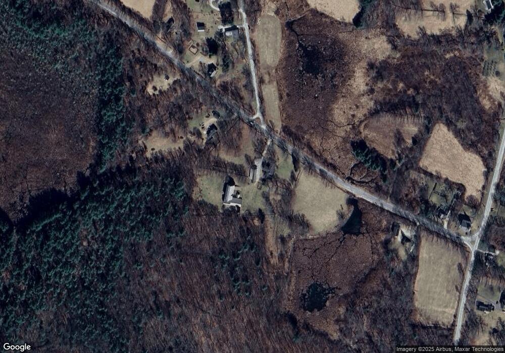
Map
Nearby Homes
- 233 Sharon-Goshen Turnpike
- 9 Jewell St
- 0 Railroad St
- 20 Kirk Rd
- 0 Swaller Hill Rd Unit 24065338
- 0 Swaller Hill Rd Unit 24141946
- 0 Swaller Hill Rd Unit 24117863
- 39 Swaller Hill Rd Unit lot 3
- 39 Swaller Hill Rd Unit 1
- 300 North St
- 766 North St
- 139 W Side Rd
- 33 Tyler Ridge Dr
- 37 Lower Barrack Rd
- 185 Route 63
- 471 Lime Rock Rd
- 78 North St
- 200 Sharon Mountain Rd
- 153 White Hollow Rd
- 28 White Hollow Rd
Your Personal Tour Guide
Ask me questions while you tour the home.