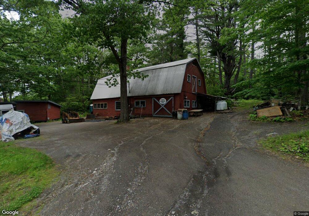
83 Doak Rd Belfast, ME 04915
Estimated Value: $227,000 - $314,000
2
Beds
1
Bath
905
Sq Ft
$289/Sq Ft
Est. Value
About This Home
This home is located at 83 Doak Rd, Belfast, ME 04915 and is currently estimated at $261,141, approximately $288 per square foot. 83 Doak Rd is a home located in Waldo County with nearby schools including Cornerspring Children's House and The School At Sweetser - Belfast.
Ownership History
Date
Name
Owned For
Owner Type
Purchase Details
Closed on
Nov 30, 2018
Sold by
Doak John P
Bought by
Scribner Patrick D and Scribner Elizabeth C
Current Estimated Value
Home Financials for this Owner
Home Financials are based on the most recent Mortgage that was taken out on this home.
Original Mortgage
$60,000
Outstanding Balance
$52,445
Interest Rate
4.8%
Estimated Equity
$208,696
Create a Home Valuation Report for This Property
The Home Valuation Report is an in-depth analysis detailing your home's value as well as a comparison with similar homes in the area
Home Values in the Area
Average Home Value in this Area
Purchase History
| Date | Buyer | Sale Price | Title Company |
|---|---|---|---|
| Scribner Patrick D | $60,000 | -- |
Source: Public Records
Mortgage History
| Date | Status | Borrower | Loan Amount |
|---|---|---|---|
| Open | Scribner Patrick D | $60,000 |
Source: Public Records
Tax History
| Year | Tax Paid | Tax Assessment Tax Assessment Total Assessment is a certain percentage of the fair market value that is determined by local assessors to be the total taxable value of land and additions on the property. | Land | Improvement |
|---|---|---|---|---|
| 2025 | $2,989 | $182,900 | $64,000 | $118,900 |
| 2024 | $2,800 | $181,800 | $64,000 | $117,800 |
| 2023 | $2,498 | $124,300 | $55,400 | $68,900 |
| 2022 | $2,613 | $122,100 | $55,400 | $66,700 |
| 2021 | $2,686 | $122,100 | $55,400 | $66,700 |
| 2020 | $2,784 | $119,500 | $55,400 | $64,100 |
| 2019 | $2,535 | $110,700 | $55,400 | $55,300 |
| 2018 | $2,059 | $110,700 | $55,400 | $55,300 |
| 2017 | $2,424 | $110,700 | $55,400 | $55,300 |
| 2016 | $1,963 | $85,700 | $30,400 | $55,300 |
| 2015 | $1,920 | $85,700 | $30,400 | $55,300 |
| 2014 | $1,855 | $85,700 | $30,400 | $55,300 |
| 2013 | $1,783 | $85,700 | $30,400 | $55,300 |
Source: Public Records
Map
Nearby Homes
- 99 Waterville Rd
- 050-C-1 W Waldo Rd
- 3 Waterville Rd
- 1 Waterville Rd
- 000 Merriam Rd
- 86 Oak Hill Rd
- 0 Robbins Rd Unit 1634953
- 225 Waldo Ave
- 20 Springbrook Dr Unit TH-6
- 162 Waldo Ave
- 65 Patterson Hill Rd
- 67 Patterson Hill Rd
- 00 Harriman Rd
- 101 Waldo Ave Unit 3-1
- 55 Londonderry Ln
- Lot 5 Waukeag Way
- 2 Swan Lake Ave
- 100 Belmont Ave Unit 2
- 183 Main St
- 18 Waldo Ave
Your Personal Tour Guide
Ask me questions while you tour the home.