83 Harbourside Rd Quincy, MA 02171
Marina Bay NeighborhoodEstimated Value: $1,066,000 - $1,283,000
3
Beds
3
Baths
1,845
Sq Ft
$631/Sq Ft
Est. Value
About This Home
This home is located at 83 Harbourside Rd, Quincy, MA 02171 and is currently estimated at $1,165,033, approximately $631 per square foot. 83 Harbourside Rd is a home located in Norfolk County with nearby schools including Squantum Elementary School, Atlantic Middle School, and North Quincy High School.
Ownership History
Date
Name
Owned For
Owner Type
Purchase Details
Closed on
Mar 4, 2010
Sold by
Hanisch Bonnie M
Bought by
Bonnie M Hanisch Ret and Hanisch
Current Estimated Value
Home Financials for this Owner
Home Financials are based on the most recent Mortgage that was taken out on this home.
Original Mortgage
$250,000
Outstanding Balance
$165,860
Interest Rate
5%
Mortgage Type
Purchase Money Mortgage
Estimated Equity
$999,173
Purchase Details
Closed on
Jul 12, 1996
Sold by
Barry Wehmiller Grp
Bought by
Blain Henri R
Purchase Details
Closed on
Apr 12, 1990
Sold by
Renaghan Matthew P
Bought by
Wehmiller Gp Inc Barry
Purchase Details
Closed on
Oct 2, 1987
Sold by
Adams Thomas J
Bought by
Renaghan Matthew P
Home Financials for this Owner
Home Financials are based on the most recent Mortgage that was taken out on this home.
Original Mortgage
$360,000
Interest Rate
10.31%
Mortgage Type
Purchase Money Mortgage
Create a Home Valuation Report for This Property
The Home Valuation Report is an in-depth analysis detailing your home's value as well as a comparison with similar homes in the area
Home Values in the Area
Average Home Value in this Area
Purchase History
| Date | Buyer | Sale Price | Title Company |
|---|---|---|---|
| Bonnie M Hanisch Ret | -- | -- | |
| Hanisch Bonnie M | $824,500 | -- | |
| Blain Henri R | $392,000 | -- | |
| Wehmiller Gp Inc Barry | $385,000 | -- | |
| Renaghan Matthew P | $445,000 | -- |
Source: Public Records
Mortgage History
| Date | Status | Borrower | Loan Amount |
|---|---|---|---|
| Open | Hanisch Bonnie M | $250,000 | |
| Previous Owner | Renaghan Matthew P | $360,000 |
Source: Public Records
Tax History
| Year | Tax Paid | Tax Assessment Tax Assessment Total Assessment is a certain percentage of the fair market value that is determined by local assessors to be the total taxable value of land and additions on the property. | Land | Improvement |
|---|---|---|---|---|
| 2025 | $12,127 | $1,051,800 | $0 | $1,051,800 |
| 2024 | $10,432 | $925,600 | $0 | $925,600 |
| 2023 | $8,849 | $795,100 | $0 | $795,100 |
| 2022 | $8,317 | $694,200 | $0 | $694,200 |
| 2021 | $7,537 | $620,800 | $0 | $620,800 |
| 2020 | $7,325 | $589,300 | $0 | $589,300 |
| 2019 | $7,443 | $593,100 | $0 | $593,100 |
| 2018 | $8,454 | $633,700 | $0 | $633,700 |
| 2017 | $7,911 | $558,300 | $0 | $558,300 |
| 2016 | $8,302 | $578,100 | $0 | $578,100 |
| 2015 | $6,755 | $462,700 | $0 | $462,700 |
| 2014 | $6,977 | $469,500 | $0 | $469,500 |
Source: Public Records
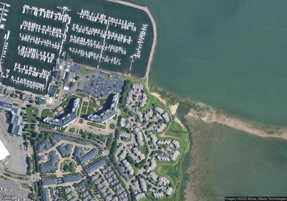
Map
Nearby Homes
- 1001 Marina Dr Unit 705
- 1001 Marina Dr Unit 708
- 1001 Marina Dr Unit 213
- 19 Harbourside Rd Unit 19
- 21 Harbourside Rd Unit 26
- 2001 Marina Dr Unit 506W
- 2001 Marina Dr Unit 211
- 100 Marina Dr Unit 615
- 100 Marina Dr Unit 306
- 10 Seaport Dr Unit 2213
- 1 Parke Ave
- 11 Bellevue Rd
- 865 E Squantum St
- 130 Parke Ave (Lot 2)
- 156 Parke Ave
- 171 Walnut St Unit 4
- 212 Quincy Shore Dr
- 175 Quincy Shore Dr Unit B24
- 175 Quincy Shore Dr Unit B23
- 138 Quincy Shore Dr Unit 170
- 83 Harbourside Rd Unit 65
- 81 Harbourside Rd
- 79 Harbourside Rd
- 77 Harbourside Rd
- 81 Harbourside Rd Unit 81
- 79 Harbourside Rd
- 79 Harbourside Rd Unit 79
- 85 Harbourside Rd
- 86 Harbourside Rd
- 88 Harbourside Rd
- 87 Harbourside Rd
- 88 Harbourside Rd Unit 68
- 88 Harbourside Rd Unit 88
- 86 Harbourside Rd Unit 86
- 76 Harbourside Rd
- 80 Harbourside Rd
- 82 Harbourside Rd
- 80 Harbourside Rd Unit 80
- 80 Harbourside Rd Unit 71
- 82 Harbourside Rd Unit 82
Your Personal Tour Guide
Ask me questions while you tour the home.