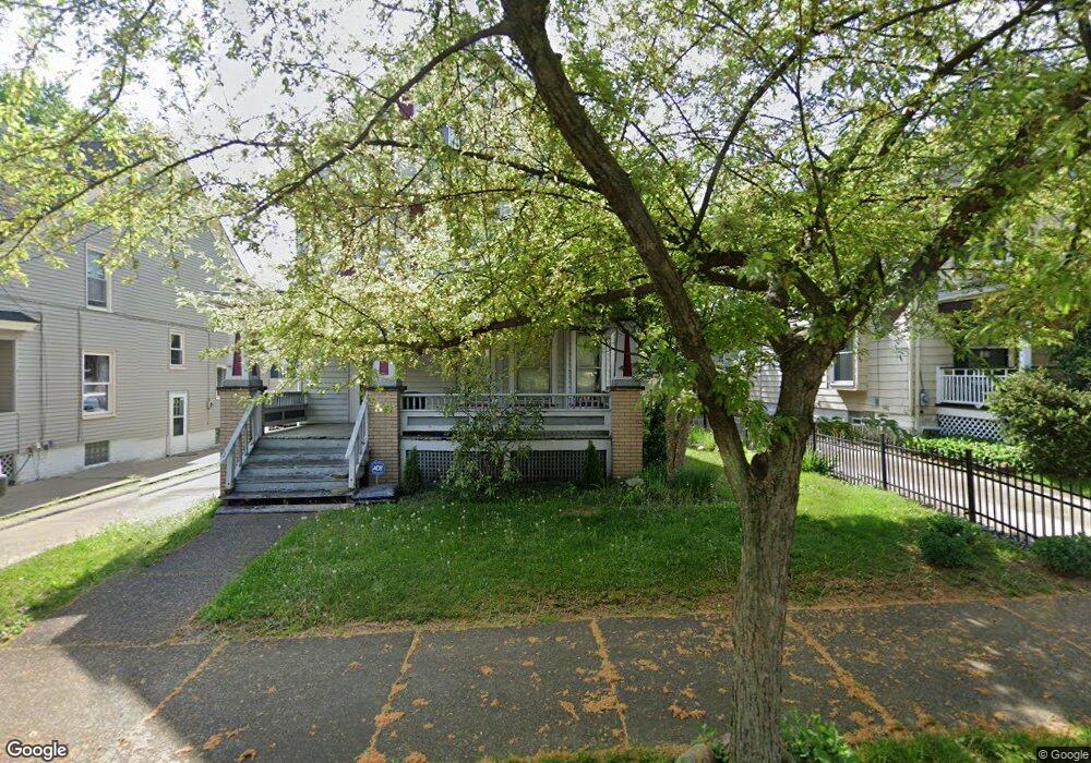
83 Hawthorne Ave Akron, OH 44303
Highland Square NeighborhoodEstimated Value: $196,000 - $236,000
3
Beds
1
Bath
1,779
Sq Ft
$119/Sq Ft
Est. Value
About This Home
This home is located at 83 Hawthorne Ave, Akron, OH 44303 and is currently estimated at $211,809, approximately $119 per square foot. 83 Hawthorne Ave is a home located in Summit County with nearby schools including King Community Learning Center, Towpath Trail High School, and Our Lady Of The Elms Elementary School.
Ownership History
Date
Name
Owned For
Owner Type
Purchase Details
Closed on
Dec 22, 2003
Sold by
Batdorf Steven C and Linder Brian D
Bought by
Lehaney Erin E
Current Estimated Value
Home Financials for this Owner
Home Financials are based on the most recent Mortgage that was taken out on this home.
Original Mortgage
$116,000
Outstanding Balance
$54,315
Interest Rate
6.03%
Mortgage Type
Purchase Money Mortgage
Estimated Equity
$157,494
Purchase Details
Closed on
Aug 24, 1994
Sold by
Stevens Dennis
Bought by
Batdorf Steven C
Home Financials for this Owner
Home Financials are based on the most recent Mortgage that was taken out on this home.
Original Mortgage
$92,200
Interest Rate
8.72%
Mortgage Type
New Conventional
Create a Home Valuation Report for This Property
The Home Valuation Report is an in-depth analysis detailing your home's value as well as a comparison with similar homes in the area
Home Values in the Area
Average Home Value in this Area
Purchase History
| Date | Buyer | Sale Price | Title Company |
|---|---|---|---|
| Lehaney Erin E | $145,000 | Land America/Lawyers Title | |
| Batdorf Steven C | $102,500 | -- |
Source: Public Records
Mortgage History
| Date | Status | Borrower | Loan Amount |
|---|---|---|---|
| Open | Lehaney Erin E | $116,000 | |
| Previous Owner | Batdorf Steven C | $92,200 | |
| Closed | Lehaney Erin E | $21,750 |
Source: Public Records
Tax History Compared to Growth
Tax History
| Year | Tax Paid | Tax Assessment Tax Assessment Total Assessment is a certain percentage of the fair market value that is determined by local assessors to be the total taxable value of land and additions on the property. | Land | Improvement |
|---|---|---|---|---|
| 2025 | $3,151 | $59,753 | $14,221 | $45,532 |
| 2024 | $3,151 | $59,753 | $14,221 | $45,532 |
| 2023 | $3,151 | $59,753 | $14,221 | $45,532 |
| 2022 | $3,223 | $48,080 | $11,375 | $36,705 |
| 2021 | $3,226 | $48,080 | $11,375 | $36,705 |
| 2020 | $3,177 | $48,090 | $11,380 | $36,710 |
| 2019 | $2,795 | $38,250 | $9,840 | $28,410 |
| 2018 | $2,757 | $38,250 | $9,840 | $28,410 |
| 2017 | $2,460 | $38,250 | $9,840 | $28,410 |
| 2016 | $2,462 | $33,420 | $9,840 | $23,580 |
| 2015 | $2,460 | $33,420 | $9,840 | $23,580 |
| 2014 | $2,440 | $33,420 | $9,840 | $23,580 |
| 2013 | $2,737 | $38,470 | $9,840 | $28,630 |
Source: Public Records
Map
Nearby Homes
- 113 N Highland Ave
- 590 Weber Ave
- 42 Belvidere Way
- 71 Dodge Ave
- 225 N Highland Ave
- 120 Beck Ave
- 127 Hollinger Ave
- 141 Grand Ave
- 525 Crosby St
- 956 Wye Dr
- 939 W Exchange St
- 782 Memorial Pkwy
- 91 Westwood Ave
- 262 S Portage Path
- 366 Doyle St
- 623 Hickory St Unit 625
- 136 Gale St
- 893 Delia Ave
- 920 Bloomfield Ave
- 892 Delia Ave
- 79 Hawthorne Ave
- 87 Hawthorne Ave
- 91 Hawthorne Ave
- 75 Hawthorne Ave
- 82 Kuder Ave
- 97 Hawthorne Ave Unit 99
- 97 Hawthorne Ave Unit Lower
- 196 Merriman Rd
- 67 Hawthorne Ave
- 86 Kuder Ave
- 90 Kuder Ave
- 72 Kuder Ave
- 84 Hawthorne Ave
- 80 Hawthorne Ave
- 88 Hawthorne Ave
- 63 Hawthorne Ave
- 204 Merriman Rd
- 76 Hawthorne Ave
- 66 Kuder Ave
- 92 Hawthorne Ave