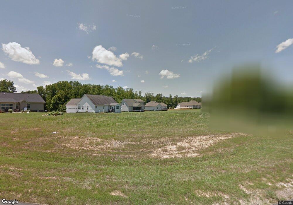
83 Huntstone Ct Henderson, NC 27537
Estimated Value: $295,579 - $341,000
3
Beds
2
Baths
1,800
Sq Ft
$178/Sq Ft
Est. Value
About This Home
This home is located at 83 Huntstone Ct, Henderson, NC 27537 and is currently estimated at $319,645, approximately $177 per square foot. 83 Huntstone Ct is a home located in Vance County with nearby schools including Dabney Elementary School, Vance County Middle School, and Vance County High School.
Ownership History
Date
Name
Owned For
Owner Type
Purchase Details
Closed on
Jan 26, 2017
Sold by
Wjh Llc
Bought by
Greene Crissie L
Current Estimated Value
Home Financials for this Owner
Home Financials are based on the most recent Mortgage that was taken out on this home.
Original Mortgage
$157,565
Outstanding Balance
$129,996
Interest Rate
4.16%
Mortgage Type
New Conventional
Estimated Equity
$189,649
Purchase Details
Closed on
Jun 28, 2016
Sold by
Old Oxford Road Ptrs Llc
Bought by
Wade Jurney Homes Inc
Create a Home Valuation Report for This Property
The Home Valuation Report is an in-depth analysis detailing your home's value as well as a comparison with similar homes in the area
Home Values in the Area
Average Home Value in this Area
Purchase History
| Date | Buyer | Sale Price | Title Company |
|---|---|---|---|
| Greene Crissie L | $156,000 | None Available | |
| Wade Jurney Homes Inc | $102,000 | None Available |
Source: Public Records
Mortgage History
| Date | Status | Borrower | Loan Amount |
|---|---|---|---|
| Open | Greene Crissie L | $157,565 |
Source: Public Records
Tax History Compared to Growth
Tax History
| Year | Tax Paid | Tax Assessment Tax Assessment Total Assessment is a certain percentage of the fair market value that is determined by local assessors to be the total taxable value of land and additions on the property. | Land | Improvement |
|---|---|---|---|---|
| 2025 | $1,977 | $228,028 | $15,200 | $212,828 |
| 2024 | $1,910 | $228,028 | $15,200 | $212,828 |
| 2023 | $1,457 | $136,573 | $18,000 | $118,573 |
| 2022 | $1,457 | $136,573 | $18,000 | $118,573 |
| 2021 | $1,337 | $136,573 | $18,000 | $118,573 |
| 2020 | $1,454 | $136,573 | $18,000 | $118,573 |
| 2019 | $1,449 | $136,573 | $18,000 | $118,573 |
| 2018 | $1,276 | $136,573 | $18,000 | $118,573 |
| 2017 | $1,271 | $0 | $0 | $0 |
| 2016 | $168 | $18,000 | $18,000 | $0 |
| 2015 | $225 | $27,000 | $27,000 | $0 |
| 2014 | $225 | $27,000 | $27,000 | $0 |
Source: Public Records
Map
Nearby Homes
- 159 Waterfall Rd
- 62 W Boulder Rd
- 387 Waterfall Rd
- 6581 U S 158 Business
- 42 Tall Pines Dr
- 160 Shadowbrook Dr
- 0 Us Hwy 158 Hwy Unit CAR4105253
- 4688 Dorsey Rd
- 4710 Dorsey Rd
- 000 Horseshoe Bend Rd
- 5204 Tabbs Creek Ln
- 1.32 Acre Southerland Place
- 1.35 Acre Southerland Place
- 1.98 Acre Southerland Place
- 4137 Grey Fox Ct
- 141 Southerland Place
- 5300 Langdon Dr
- 5310 Langdon Dr
- 5306 Langdon Dr
- 65 Pine View Rd
- 83 Huntstone Ct Unit 141
- 105 Huntstone Ct
- 105 Huntstone Ct Unit 142
- 176 W Waycliff Rd
- 236 W Waycliff Rd
- 123 Huntstone Ct
- 123 Huntstone Ct
- 123 Huntstone Ct Unit 143
- 60 Huntstone Ct
- 266 W Waycliff Rd
- 30 Huntstone Ct
- 82 Huntstone Ct
- 108 Huntstone Ct
- 108 Huntstone Ct Unit 145
- 122 Huntstone Ct
- 122 Huntstone Ct Unit 144
- 292 W Waycliff Rd
- 227 W Waycliff Rd
- 104 W Waycliff Rd
- 175 W Waycliff Rd