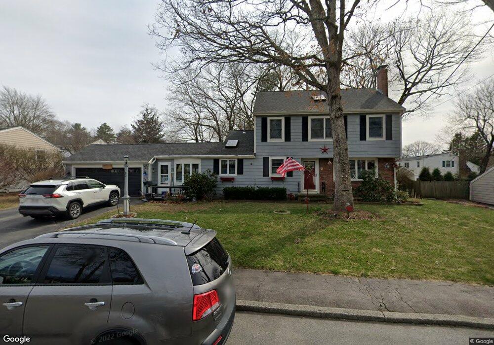
83 King Philip St South Weymouth, MA 02190
South Weymouth NeighborhoodEstimated Value: $802,000 - $965,000
3
Beds
3
Baths
2,374
Sq Ft
$366/Sq Ft
Est. Value
About This Home
This home is located at 83 King Philip St, South Weymouth, MA 02190 and is currently estimated at $868,921, approximately $366 per square foot. 83 King Philip St is a home located in Norfolk County with nearby schools including Thomas V Nash, Abigail Adams Middle School, and Weymouth Middle School Chapman.
Ownership History
Date
Name
Owned For
Owner Type
Purchase Details
Closed on
Nov 19, 2020
Sold by
Doyle Stephen J and Doyle Katherine V
Bought by
83 King Philip St Rt
Current Estimated Value
Purchase Details
Closed on
Sep 29, 1989
Sold by
Lavine Jerrold N
Bought by
Doyle Stephen J
Create a Home Valuation Report for This Property
The Home Valuation Report is an in-depth analysis detailing your home's value as well as a comparison with similar homes in the area
Home Values in the Area
Average Home Value in this Area
Purchase History
| Date | Buyer | Sale Price | Title Company |
|---|---|---|---|
| 83 King Philip St Rt | -- | None Available | |
| Doyle Stephen J | $175,000 | -- |
Source: Public Records
Mortgage History
| Date | Status | Borrower | Loan Amount |
|---|---|---|---|
| Previous Owner | Doyle Stephen J | $209,000 | |
| Previous Owner | Doyle Stephen J | $132,000 | |
| Previous Owner | Doyle Stephen J | $132,000 | |
| Previous Owner | Doyle Stephen J | $133,300 |
Source: Public Records
Tax History Compared to Growth
Tax History
| Year | Tax Paid | Tax Assessment Tax Assessment Total Assessment is a certain percentage of the fair market value that is determined by local assessors to be the total taxable value of land and additions on the property. | Land | Improvement |
|---|---|---|---|---|
| 2025 | $7,424 | $735,000 | $226,000 | $509,000 |
| 2024 | $7,192 | $700,300 | $215,300 | $485,000 |
| 2023 | $6,717 | $642,800 | $217,500 | $425,300 |
| 2022 | $6,516 | $568,600 | $201,400 | $367,200 |
| 2021 | $6,335 | $539,600 | $201,400 | $338,200 |
| 2020 | $6,147 | $515,700 | $201,400 | $314,300 |
| 2019 | $5,993 | $494,500 | $193,600 | $300,900 |
| 2018 | $5,793 | $463,400 | $184,400 | $279,000 |
| 2017 | $5,656 | $441,500 | $175,600 | $265,900 |
| 2016 | $5,480 | $428,100 | $168,900 | $259,200 |
| 2015 | $5,225 | $405,000 | $168,900 | $236,100 |
| 2014 | $5,003 | $376,200 | $157,200 | $219,000 |
Source: Public Records
Map
Nearby Homes
- 24 Fisher Rd
- 16 Jay Rd
- 308 Forest St
- 68 Massapoag St Unit 7
- 193 Randolph St
- 120 Randolph St
- 211 Randolph St
- 92 Mercury St
- 50 Hollis St
- 354 Tilden Commons Ln
- 27 Park Ave
- 2 Mitchell Ln Unit B
- 262 West St
- 175 Tyson Commons Ln
- 255 West St
- 134 Tyson Commons Ln
- 18 Fountain Ln Unit 2
- 30 Bradford Commons Ln
- 655 Summer St
- 45 Union St