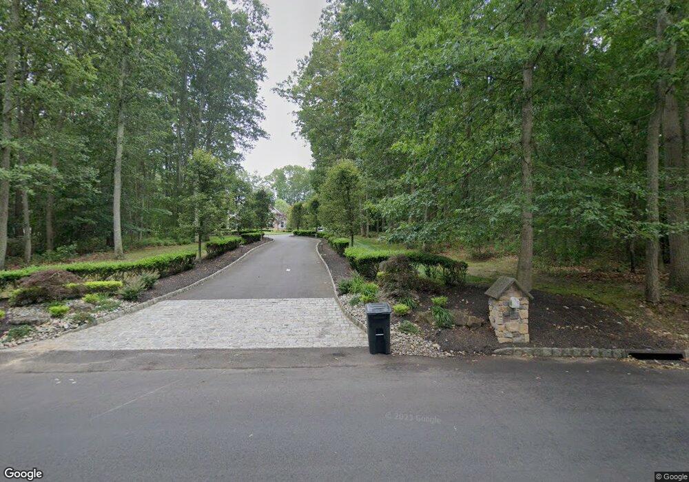
83 Lamb Ln Manalapan, NJ 07726
Estimated Value: $1,297,000 - $1,387,000
5
Beds
4
Baths
4,059
Sq Ft
$329/Sq Ft
Est. Value
About This Home
This home is located at 83 Lamb Ln, Manalapan, NJ 07726 and is currently estimated at $1,335,030, approximately $328 per square foot. 83 Lamb Ln is a home located in Monmouth County with nearby schools including Wemrock Brook School, Manalapan-Englishtown Middle School, and Pine Brook Elementary School.
Ownership History
Date
Name
Owned For
Owner Type
Purchase Details
Closed on
Mar 20, 2025
Sold by
Marzo Patrick and Marzo Gina
Bought by
Malloy Daniel and Malloy Jamie
Current Estimated Value
Home Financials for this Owner
Home Financials are based on the most recent Mortgage that was taken out on this home.
Original Mortgage
$1,012,500
Outstanding Balance
$1,007,297
Interest Rate
6.85%
Mortgage Type
New Conventional
Estimated Equity
$327,733
Purchase Details
Closed on
Dec 12, 2003
Sold by
Cjmj Corp
Bought by
Marzo Patrick and Marzo Gina
Home Financials for this Owner
Home Financials are based on the most recent Mortgage that was taken out on this home.
Original Mortgage
$238,000
Interest Rate
5.82%
Create a Home Valuation Report for This Property
The Home Valuation Report is an in-depth analysis detailing your home's value as well as a comparison with similar homes in the area
Home Values in the Area
Average Home Value in this Area
Purchase History
| Date | Buyer | Sale Price | Title Company |
|---|---|---|---|
| Malloy Daniel | $1,350,000 | First American Title | |
| Malloy Daniel | $1,350,000 | First American Title | |
| Marzo Patrick | $700,000 | -- |
Source: Public Records
Mortgage History
| Date | Status | Borrower | Loan Amount |
|---|---|---|---|
| Open | Malloy Daniel | $1,012,500 | |
| Closed | Malloy Daniel | $1,012,500 | |
| Previous Owner | Marzo Patrick | $238,000 |
Source: Public Records
Tax History Compared to Growth
Tax History
| Year | Tax Paid | Tax Assessment Tax Assessment Total Assessment is a certain percentage of the fair market value that is determined by local assessors to be the total taxable value of land and additions on the property. | Land | Improvement |
|---|---|---|---|---|
| 2025 | $16,666 | $1,076,500 | $208,100 | $868,400 |
| 2024 | $16,085 | $987,300 | $128,400 | $858,900 |
| 2023 | $16,085 | $967,200 | $128,400 | $838,800 |
| 2022 | $17,764 | $919,000 | $128,400 | $790,600 |
| 2021 | $17,660 | $853,200 | $133,600 | $719,600 |
| 2020 | $17,660 | $857,300 | $133,600 | $723,700 |
| 2019 | $16,459 | $797,800 | $133,600 | $664,200 |
| 2018 | $15,844 | $763,200 | $133,600 | $629,600 |
| 2017 | $14,776 | $712,100 | $133,600 | $578,500 |
| 2016 | $14,756 | $718,400 | $140,700 | $577,700 |
| 2015 | $14,889 | $717,200 | $148,100 | $569,100 |
| 2014 | $13,313 | $625,000 | $123,100 | $501,900 |
Source: Public Records
Map
Nearby Homes
- 226 Smithburg Rd
- 5 Darlington Dr
- 13 Woodward Rd
- 158 Sweetmans Ln Unit 1
- 5 Summit Ave
- 19 Roberts Rd
- 159 Sweetmans Ln
- 6 Hillcrest Rd
- 176 Oakland Mills Rd
- 17 Wagner Farm Ln
- 304 Smithburg Rd
- 6 Lamb Ln
- 13 Moonflower Dr
- 316 New Jersey 33 Unit Haverford
- 1913 Melrose Blvd Unit 1903
- 316 New Jersey 33 Unit Claremont
- 316 New Jersey 33 Unit Howard
- 2011 Wander Ln
- 1311 Auburn Terrace Unit 1301
- 1214 Auburn Terrace Unit 1204