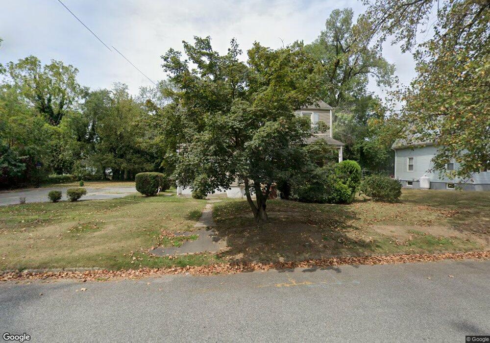
83 Locust Ave Pennsville, NJ 08070
Estimated Value: $262,484 - $329,000
--
Bed
--
Bath
1,604
Sq Ft
$181/Sq Ft
Est. Value
About This Home
This home is located at 83 Locust Ave, Pennsville, NJ 08070 and is currently estimated at $290,621, approximately $181 per square foot. 83 Locust Ave is a home located in Salem County with nearby schools including Valley Park Elementary School, Central Park Elementary School, and Penn Beach Elementary School.
Ownership History
Date
Name
Owned For
Owner Type
Purchase Details
Closed on
Jun 30, 2004
Sold by
Sweetman Ronald L and Sweetman Sherry L
Bought by
Kornsey Christopher and Kornsey Lauren E
Current Estimated Value
Home Financials for this Owner
Home Financials are based on the most recent Mortgage that was taken out on this home.
Original Mortgage
$31,000
Outstanding Balance
$15,517
Interest Rate
6.25%
Mortgage Type
Unknown
Estimated Equity
$275,104
Purchase Details
Closed on
Nov 18, 2002
Sold by
Sweetman Ronald L
Bought by
Sweetman Ronald L and Sweetman Sherry L
Home Financials for this Owner
Home Financials are based on the most recent Mortgage that was taken out on this home.
Original Mortgage
$113,400
Interest Rate
5.43%
Purchase Details
Closed on
Dec 15, 1994
Sold by
English Kathleen M
Bought by
Sweetman Ronald L
Create a Home Valuation Report for This Property
The Home Valuation Report is an in-depth analysis detailing your home's value as well as a comparison with similar homes in the area
Home Values in the Area
Average Home Value in this Area
Purchase History
| Date | Buyer | Sale Price | Title Company |
|---|---|---|---|
| Kornsey Christopher | $155,000 | Weichert Title Agency Inc | |
| Sweetman Ronald L | -- | Intercoastal Title Agency In | |
| Sweetman Ronald L | $102,900 | Intercoastal Title Agency In |
Source: Public Records
Mortgage History
| Date | Status | Borrower | Loan Amount |
|---|---|---|---|
| Open | Kornsey Christopher | $31,000 | |
| Open | Kornsey Christopher | $124,000 | |
| Previous Owner | Sweetman Ronald L | $113,400 |
Source: Public Records
Tax History Compared to Growth
Tax History
| Year | Tax Paid | Tax Assessment Tax Assessment Total Assessment is a certain percentage of the fair market value that is determined by local assessors to be the total taxable value of land and additions on the property. | Land | Improvement |
|---|---|---|---|---|
| 2025 | $7,081 | $138,900 | $55,200 | $83,700 |
| 2024 | $6,817 | $138,900 | $55,200 | $83,700 |
| 2023 | $6,817 | $138,900 | $55,200 | $83,700 |
| 2022 | $6,603 | $138,900 | $55,200 | $83,700 |
| 2021 | $6,421 | $138,900 | $55,200 | $83,700 |
| 2020 | $6,227 | $138,900 | $55,200 | $83,700 |
| 2019 | $5,919 | $138,900 | $55,200 | $83,700 |
| 2018 | $5,706 | $138,900 | $55,200 | $83,700 |
| 2017 | $5,505 | $138,900 | $55,200 | $83,700 |
| 2016 | $5,066 | $138,900 | $55,200 | $83,700 |
| 2015 | $4,834 | $138,900 | $55,200 | $83,700 |
| 2014 | $4,705 | $138,900 | $55,200 | $83,700 |
Source: Public Records
Map
Nearby Homes
- 73 N Broadway
- 101 N Broadway
- 104 Queen Ave
- 67 Sparks Ave
- 37 Brandriff Ave
- 80 Union St
- 25 Oriental Ave
- 60 E Pittsfield St
- 110 N River Dr
- 0 S Broadway Unit NJSA2013398
- 4 S Broadway
- 24 W Pittsfield St
- 176 N Broadway
- 32 S Broadway
- 51 Marlyn Ave
- 74 S Broadway
- Part of Lot 34 Heron Ave
- 240 N Broadway
- 93 River Drive Ave
- 112 Highland Ave