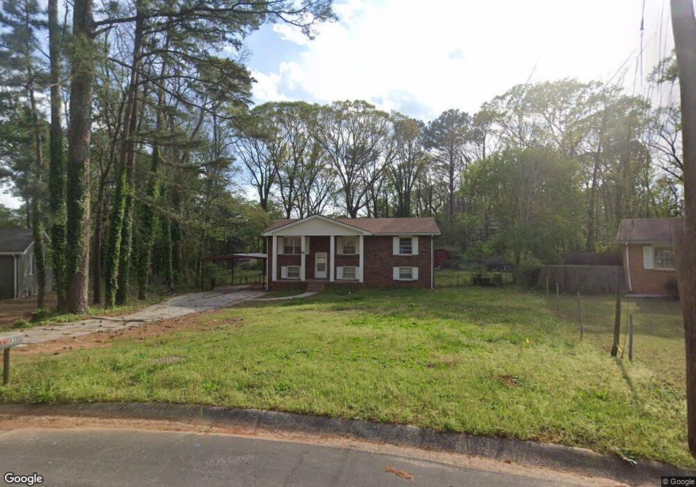
83 McFerrin Cir Unit 4 Riverdale, GA 30274
Estimated Value: $218,475 - $242,000
3
Beds
2
Baths
1,838
Sq Ft
$126/Sq Ft
Est. Value
About This Home
This home is located at 83 McFerrin Cir Unit 4, Riverdale, GA 30274 and is currently estimated at $231,119, approximately $125 per square foot. 83 McFerrin Cir Unit 4 is a home located in Clayton County with nearby schools including Harper Elementary School, Sequoyah Middle School, and Charles R. Drew High School.
Ownership History
Date
Name
Owned For
Owner Type
Purchase Details
Closed on
Apr 15, 2025
Sold by
Muwator Evelyn
Bought by
Muwator Esi
Current Estimated Value
Purchase Details
Closed on
Apr 1, 2025
Sold by
Bayor Nadim
Bought by
Mawutor Evelyn
Purchase Details
Closed on
Jan 31, 2003
Sold by
Bayor Moktar
Bought by
Bayor Moktar and Bayor Bernadette L
Home Financials for this Owner
Home Financials are based on the most recent Mortgage that was taken out on this home.
Original Mortgage
$126,100
Interest Rate
5.93%
Mortgage Type
New Conventional
Create a Home Valuation Report for This Property
The Home Valuation Report is an in-depth analysis detailing your home's value as well as a comparison with similar homes in the area
Home Values in the Area
Average Home Value in this Area
Purchase History
| Date | Buyer | Sale Price | Title Company |
|---|---|---|---|
| Muwator Esi | -- | -- | |
| Mawutor Evelyn | -- | -- | |
| Bayor Moktar | -- | -- | |
| Bayor Moktar | $130,000 | -- |
Source: Public Records
Mortgage History
| Date | Status | Borrower | Loan Amount |
|---|---|---|---|
| Previous Owner | Bayor Moktar | $126,100 |
Source: Public Records
Tax History Compared to Growth
Tax History
| Year | Tax Paid | Tax Assessment Tax Assessment Total Assessment is a certain percentage of the fair market value that is determined by local assessors to be the total taxable value of land and additions on the property. | Land | Improvement |
|---|---|---|---|---|
| 2024 | $1,285 | $74,400 | $5,600 | $68,800 |
| 2023 | $706 | $68,680 | $5,600 | $63,080 |
| 2022 | $0 | $49,960 | $5,600 | $44,360 |
| 2021 | $714 | $44,840 | $5,600 | $39,240 |
| 2020 | $564 | $36,438 | $5,600 | $30,838 |
| 2019 | $518 | $33,467 | $4,000 | $29,467 |
| 2018 | $437 | $29,518 | $4,000 | $25,518 |
| 2017 | $376 | $25,768 | $4,000 | $21,768 |
| 2016 | $375 | $25,728 | $4,000 | $21,728 |
| 2015 | $370 | $0 | $0 | $0 |
| 2014 | $248 | $20,726 | $4,000 | $16,726 |
Source: Public Records
Map
Nearby Homes
- 6605 Black Bend Ct
- 6671 Gano Dr
- 6643 Westfield Dr
- 371 Roxbury Dr
- 226 Stayman Dr
- 123 Oldenburg Dr
- 6763 Valley Hill Ct
- 6377 Westbury Rd
- 148 Roy Huie Rd
- 149 Roy Huie Rd
- 6544 River Park Dr
- 6371 Westbury Rd
- 266 Ridge Trail
- 90 Jonathan Rd
- 6860 Mountain Cir
- 6468 River Park Dr
- 172 Scarsdale Dr
- 200 Sunrise Cir
- 6888 Mountain Cir
- 87 McFerrin Cir
- 79 McFerrin Cir
- 6618 Black Bend Ct
- 75 McFerrin Cir
- 91 McFerrin Cir
- 6614 Black Bend Ct
- 86 McFerrin Cir
- 95 McFerrin Cir
- 6622 Black Bend Ct
- 71 McFerrin Cir
- 6610 Black Bend Ct
- 0 Black Bend Ct Unit 8861884
- 0 Black Bend Ct Unit 8692975
- 0 Black Bend Ct Unit 8377521
- 0 Black Bend Ct Unit 8141129
- 72 McFerrin Cir
- 280 Roxbury Dr
- 67 McFerrin Cir
- 276 Roxbury Dr
- 6607 Bussell Way