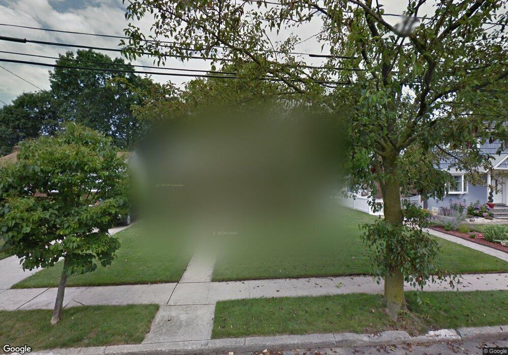
83 Mcintosh Ct Malverne, NY 11565
Estimated Value: $742,000 - $776,054
4
Beds
2
Baths
1,292
Sq Ft
$587/Sq Ft
Est. Value
About This Home
This home is located at 83 Mcintosh Ct, Malverne, NY 11565 and is currently estimated at $759,027, approximately $587 per square foot. 83 Mcintosh Ct is a home located in Nassau County with nearby schools including Grace Lutheran School and Our Lady of Lourdes School.
Ownership History
Date
Name
Owned For
Owner Type
Purchase Details
Closed on
Sep 1, 2023
Sold by
Neil Ancil and Jangda Fozia
Bought by
Neil Ancil and Jangda Fozia
Current Estimated Value
Purchase Details
Closed on
Jun 23, 2014
Sold by
Levine Harvey and Levine Fleurette
Bought by
Neil Ancil and Jangda Fozia
Home Financials for this Owner
Home Financials are based on the most recent Mortgage that was taken out on this home.
Original Mortgage
$297,000
Outstanding Balance
$224,901
Interest Rate
4.16%
Mortgage Type
New Conventional
Estimated Equity
$534,126
Create a Home Valuation Report for This Property
The Home Valuation Report is an in-depth analysis detailing your home's value as well as a comparison with similar homes in the area
Home Values in the Area
Average Home Value in this Area
Purchase History
| Date | Buyer | Sale Price | Title Company |
|---|---|---|---|
| Neil Ancil | -- | None Available | |
| Neil Ancil | -- | None Available | |
| Neil Ancil | -- | None Available | |
| Neil Ancil | $330,000 | -- | |
| Neil Ancil | $330,000 | -- | |
| Neil Ancil | $330,000 | -- | |
| Neil Ancil | $330,000 | -- | |
| Neil Ancil | $330,000 | -- |
Source: Public Records
Mortgage History
| Date | Status | Borrower | Loan Amount |
|---|---|---|---|
| Open | Neil Ancil | $297,000 | |
| Closed | Neil Ancil | $297,000 |
Source: Public Records
Tax History Compared to Growth
Tax History
| Year | Tax Paid | Tax Assessment Tax Assessment Total Assessment is a certain percentage of the fair market value that is determined by local assessors to be the total taxable value of land and additions on the property. | Land | Improvement |
|---|---|---|---|---|
| 2025 | $8,106 | $457 | $199 | $258 |
| 2024 | $1,053 | $484 | $211 | $273 |
| 2023 | $8,360 | $495 | $216 | $279 |
| 2022 | $8,360 | $495 | $216 | $279 |
| 2021 | $11,954 | $490 | $214 | $276 |
| 2020 | $8,722 | $646 | $455 | $191 |
| 2019 | $8,491 | $632 | $425 | $207 |
| 2018 | $6,540 | $688 | $0 | $0 |
| 2017 | $5,488 | $688 | $463 | $225 |
| 2016 | $6,482 | $688 | $463 | $225 |
| 2015 | $161 | $688 | $463 | $225 |
| 2014 | $161 | $688 | $463 | $225 |
| 2013 | $143 | $688 | $463 | $225 |
Source: Public Records
Map
Nearby Homes
- 56 Adair Ct
- 818 Palmetto Dr
- 163 Scarcliffe Dr
- 807 Cypress Dr
- 53 Maple St
- 10 Linden St
- 2 Derby Ct
- 70 Morris Ave
- 133 Nassau Ave
- 114 Nassau Ave
- 1096 Shelburne Dr
- 859 Franklin Ave
- 1027 Windermere Rd
- 100 Nassau Ave
- 1115 Agnes Ct
- 52 Legion Place
- 993 Ferngate Dr
- 1048 Windermere Rd
- 815 Franklin Ave Unit 4
- 1047 Windermere Rd