83 N Shore Ln Strong, ME 04983
Estimated Value: $241,000 - $413,000
--
Bed
--
Bath
768
Sq Ft
$419/Sq Ft
Est. Value
About This Home
This home is located at 83 N Shore Ln, Strong, ME 04983 and is currently estimated at $321,871, approximately $419 per square foot. 83 N Shore Ln is a home with nearby schools including Mt. Abram Regional High School.
Ownership History
Date
Name
Owned For
Owner Type
Purchase Details
Closed on
Oct 21, 2024
Sold by
Brace Marlayne C
Bought by
Corson Roger C and Corson Nancy C
Current Estimated Value
Purchase Details
Closed on
Oct 11, 2024
Sold by
Corson Roger D and Corson Nancy C
Bought by
Corson Keith R
Purchase Details
Closed on
Nov 30, 2007
Sold by
Corson Roger D and Corson Nancy C
Bought by
Corson Roger D and Corson Nancy C
Create a Home Valuation Report for This Property
The Home Valuation Report is an in-depth analysis detailing your home's value as well as a comparison with similar homes in the area
Home Values in the Area
Average Home Value in this Area
Purchase History
| Date | Buyer | Sale Price | Title Company |
|---|---|---|---|
| Corson Roger C | -- | None Available | |
| Corson Roger C | -- | None Available | |
| Corson Roger C | -- | None Available | |
| Corson Keith R | -- | None Available | |
| Corson Roger D | -- | -- | |
| Corson Roger D | -- | -- |
Source: Public Records
Tax History Compared to Growth
Tax History
| Year | Tax Paid | Tax Assessment Tax Assessment Total Assessment is a certain percentage of the fair market value that is determined by local assessors to be the total taxable value of land and additions on the property. | Land | Improvement |
|---|---|---|---|---|
| 2024 | $3,071 | $174,490 | $141,990 | $32,500 |
| 2023 | $2,792 | $174,490 | $141,990 | $32,500 |
| 2022 | $2,757 | $174,490 | $141,990 | $32,500 |
| 2021 | $2,879 | $174,490 | $141,990 | $32,500 |
| 2020 | $2,984 | $174,490 | $141,990 | $32,500 |
| 2019 | $3,106 | $174,490 | $141,990 | $32,500 |
| 2018 | $2,705 | $174,490 | $141,990 | $32,500 |
| 2017 | $2,513 | $174,490 | $141,990 | $32,500 |
| 2016 | $2,478 | $174,490 | $141,990 | $32,500 |
| 2015 | $2,565 | $174,490 | $141,990 | $32,500 |
| 2013 | $2,233 | $174,490 | $141,990 | $32,500 |
Source: Public Records
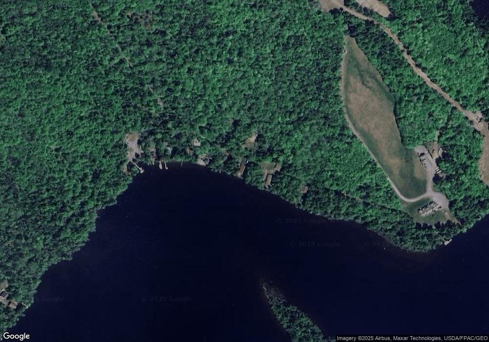
Map
Nearby Homes
- 9 Beechnut Ridge
- 152 Johnson Rd
- 85 Griffin Mountain Rd
- R-5 13-A Norton Hill Rd
- 94 New Vineyard Rd
- MR8 L4-5 Shingle Mill Rd
- MR8 L4-4 Shingle Mill Rd
- 155 Anson Valley Rd
- 15 Spruce Rd
- 16 Whitetail Dr
- U03-68-C Tbd
- 44 Norton Hill Rd
- 18 N Main St
- 368 Lemon Stream Rd
- 22 W Freeman Rd
- 273 Lemon Stream Rd
- LOT #162.7 St
- 593 S Strong Rd
- 43 Brookside Ln
- 266 Phillips Rd
- 81 N Shore Ln
- 75 N Shore Ln
- 91 N Shore Ln
- 93 N Shore Ln
- 79 N Shore Ln
- 95 N Shore Ln
- 8 Isle View Ln
- 7 Isle View Ln
- 0 Storybook Ln
- 25 Rocky Shore Ln
- 19 Rocky Shore Ln
- 17 Rocky Shore Ln
- 15 Rocky Shore Ln
- 20 Rocky Shore Ln
- 421 Pond Rd
- TBD Sweets Pond Ln
- 9 Tilley Ln
- 76 Sweets Pond Ln
- 114 Cedar Dr
- 10 Tilley Ln