83 N Snow Ridge Dr Hendersonville, NC 28792
Estimated Value: $1,637,436 - $1,925,000
--
Bed
--
Bath
3,722
Sq Ft
$468/Sq Ft
Est. Value
About This Home
This home is located at 83 N Snow Ridge Dr, Hendersonville, NC 28792 and is currently estimated at $1,742,479, approximately $468 per square foot. 83 N Snow Ridge Dr is a home with nearby schools including A.C. Reynolds High School, Fairview Elementary School, and Cane Creek Middle.
Ownership History
Date
Name
Owned For
Owner Type
Purchase Details
Closed on
Oct 25, 2013
Sold by
Bearwallow Mountain Land L
Bought by
Amoth Carl C and Amoth Bev R
Current Estimated Value
Purchase Details
Closed on
May 1, 2012
Sold by
Highway 329 River Llc A Sc
Bought by
Bearwallow Mountain Land Llc
Purchase Details
Closed on
Jan 14, 2011
Bought by
Highway 329 River Llc A Sc Llcompany
Purchase Details
Closed on
Jan 3, 2011
Bought by
Highway 329 River Llc A Sc Llcompany
Purchase Details
Closed on
Dec 30, 2010
Bought by
Ware Randy
Purchase Details
Closed on
Oct 2, 2009
Bought by
Carolina First Bank
Purchase Details
Closed on
Jul 24, 2009
Bought by
Carolina First Bank
Purchase Details
Closed on
Jan 31, 2006
Sold by
Not Provided
Bought by
Highway 329 River Llc A Sc Llc
Create a Home Valuation Report for This Property
The Home Valuation Report is an in-depth analysis detailing your home's value as well as a comparison with similar homes in the area
Home Values in the Area
Average Home Value in this Area
Purchase History
| Date | Buyer | Sale Price | Title Company |
|---|---|---|---|
| Amoth Carl C | $71,500 | -- | |
| Bearwallow Mountain Land Llc | -- | -- | |
| Highway 329 River Llc A Sc Llcompany | -- | -- | |
| Highway 329 River Llc A Sc Llcompany | -- | -- | |
| Ware Randy | $40,000 | -- | |
| Carolina First Bank | $276,500 | -- | |
| Carolina First Bank | $276,500 | -- | |
| Highway 329 River Llc A Sc Llc | $564,000 | -- |
Source: Public Records
Tax History Compared to Growth
Tax History
| Year | Tax Paid | Tax Assessment Tax Assessment Total Assessment is a certain percentage of the fair market value that is determined by local assessors to be the total taxable value of land and additions on the property. | Land | Improvement |
|---|---|---|---|---|
| 2025 | $7,629 | $1,347,900 | $239,000 | $1,108,900 |
| 2024 | $7,629 | $1,347,900 | $239,000 | $1,108,900 |
| 2023 | $7,629 | $1,347,900 | $239,000 | $1,108,900 |
| 2022 | $6,954 | $999,200 | $226,000 | $773,200 |
| 2021 | $6,954 | $999,200 | $226,000 | $773,200 |
| 2020 | $6,954 | $999,200 | $0 | $0 |
| 2019 | $6,855 | $999,200 | $0 | $0 |
| 2018 | $6,546 | $948,700 | $0 | $0 |
| 2017 | $6,546 | $948,700 | $0 | $0 |
| 2016 | $6,535 | $947,100 | $0 | $0 |
| 2015 | -- | $337,700 | $0 | $0 |
| 2014 | -- | $94,200 | $0 | $0 |
Source: Public Records
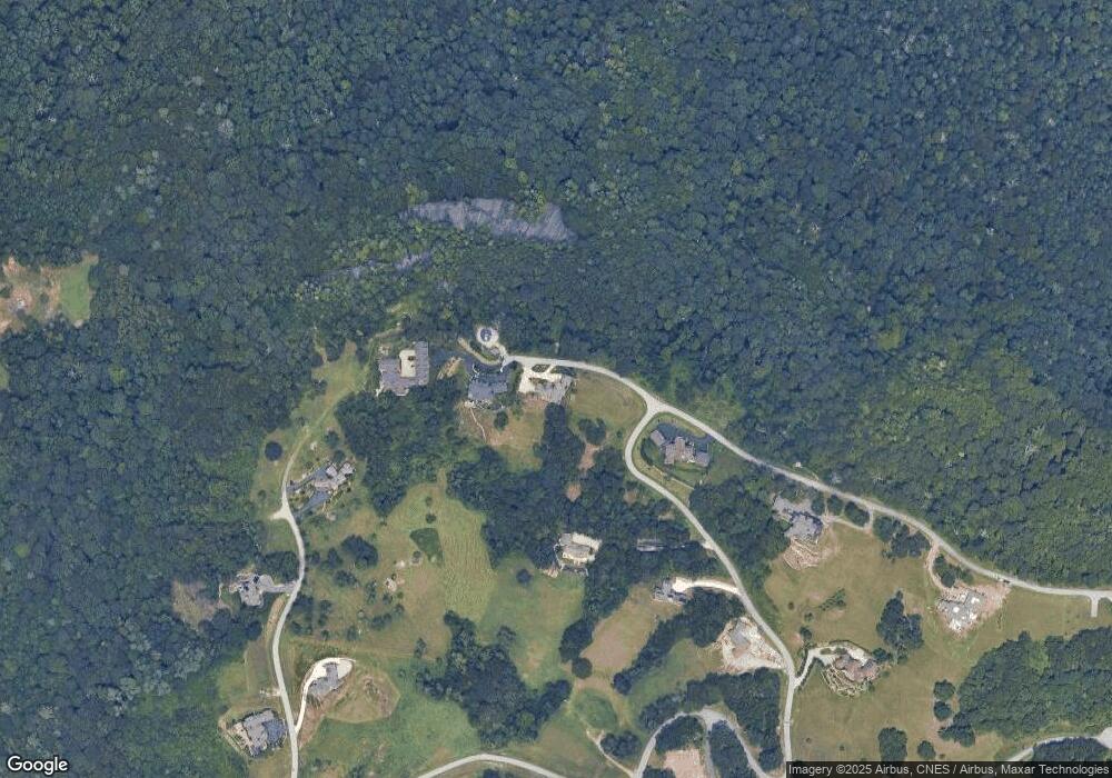
Map
Nearby Homes
- 89 N Snow Ridge Dr
- 93 N Snow Ridge Dr
- 24 N Snow Ridge Dr
- 99999 N Snow Ridge Dr Unit 11
- 56 N Snow Ridge Dr Unit 9
- Lot 21 Grand Highland Dr
- 487 Grand Highland Dr
- 0 Grand Highland Dr Unit 48
- 214 Summerset Dr
- 62 Autumn Ridge Ln Unit 65
- 00000 Summerset Dr Unit 84
- 332 Summerset Dr
- 416 Summerset Dr Unit 83
- 278 Snow Ridge Dr
- 999 Bearwallow Mountain Rd
- 4642 Bearwallow Mountain Rd Unit 115
- 125 Thunder Mountain Rd
- 83 Waterstone Dr Unit 46
- 306 Dancing Bear Dr
- 390 Dancing Bear Dr
- 12 Grand Highland Dr
- Lot 12 Snow Ridge Dr Unit 12
- 486 Grand Highland Dr
- 121 Spring Rain Dr
- LOT 91 Grand Highlands Dr
- 98 Snow Ridge Dr
- 99999 Grand Highlands Dr Unit 28
- 99999 Grand Highlands Dr Unit 27
- 99999 Grand Highlands Dr Unit 26
- LOT 176 Snow Mountain Dr
- 75 Spring Rain Dr
- LOT 84 Grand Highlands at Bearwallow Unit 84
- Lot 54 Dancing Bear Grand Highlands
- lot 54 Grand Highlands at Bearwallow
- LOT 44 Grand Highlands at Bearwallo Unit 48
- 23 Grand Highland Dr
- 22 Grand Highland Dr Unit 22
- LOT 34 Grand Highlands at Bearwallow Unit 34
- LOT 32 Grand Highlands at Bearwallow Unit 32
- 48 Grand Highland Dr Unit 48