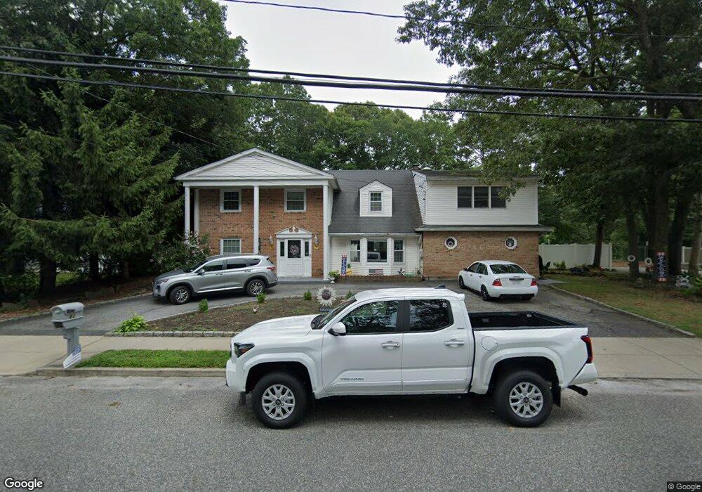
83 Nostrand Ave Port Jefferson Station, NY 11776
Estimated Value: $662,000 - $838,000
5
Beds
4
Baths
3,700
Sq Ft
$201/Sq Ft
Est. Value
About This Home
This home is located at 83 Nostrand Ave, Port Jefferson Station, NY 11776 and is currently estimated at $742,979, approximately $200 per square foot. 83 Nostrand Ave is a home located in Suffolk County with nearby schools including John F Kennedy Middle School and Comsewogue High School.
Ownership History
Date
Name
Owned For
Owner Type
Purchase Details
Closed on
Jul 9, 2018
Sold by
Topping Brett
Bought by
Mozdean Doreen
Current Estimated Value
Purchase Details
Closed on
Oct 12, 2012
Sold by
Maltese Paul and Maltese Caroline
Bought by
Topping Brett
Home Financials for this Owner
Home Financials are based on the most recent Mortgage that was taken out on this home.
Original Mortgage
$395,000
Interest Rate
3.56%
Mortgage Type
New Conventional
Create a Home Valuation Report for This Property
The Home Valuation Report is an in-depth analysis detailing your home's value as well as a comparison with similar homes in the area
Home Values in the Area
Average Home Value in this Area
Purchase History
| Date | Buyer | Sale Price | Title Company |
|---|---|---|---|
| Mozdean Doreen | $389,000 | -- | |
| Topping Brett | $395,000 | -- |
Source: Public Records
Mortgage History
| Date | Status | Borrower | Loan Amount |
|---|---|---|---|
| Previous Owner | Topping Brett | $395,000 |
Source: Public Records
Tax History Compared to Growth
Tax History
| Year | Tax Paid | Tax Assessment Tax Assessment Total Assessment is a certain percentage of the fair market value that is determined by local assessors to be the total taxable value of land and additions on the property. | Land | Improvement |
|---|---|---|---|---|
| 2024 | $16,261 | $3,800 | $300 | $3,500 |
| 2023 | $16,261 | $3,800 | $300 | $3,500 |
| 2022 | $11,182 | $3,800 | $300 | $3,500 |
| 2021 | $11,182 | $3,800 | $300 | $3,500 |
| 2020 | $18,195 | $3,800 | $300 | $3,500 |
| 2019 | $18,195 | $0 | $0 | $0 |
| 2018 | $10,885 | $3,800 | $300 | $3,500 |
| 2017 | $10,885 | $3,800 | $300 | $3,500 |
| 2016 | $10,675 | $3,800 | $300 | $3,500 |
| 2015 | -- | $3,800 | $300 | $3,500 |
| 2014 | -- | $4,150 | $300 | $3,850 |
Source: Public Records
Map
Nearby Homes