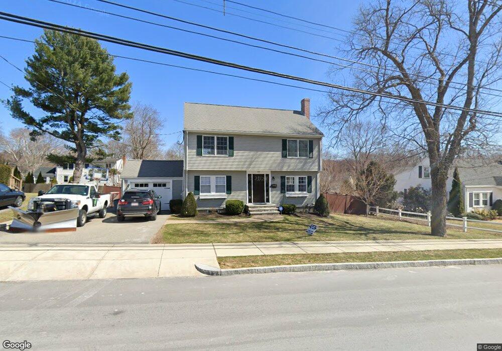
83 Oak St Stoneham, MA 02180
Lindenwood NeighborhoodEstimated Value: $662,000 - $876,000
4
Beds
1
Bath
1,312
Sq Ft
$597/Sq Ft
Est. Value
About This Home
This home is located at 83 Oak St, Stoneham, MA 02180 and is currently estimated at $783,088, approximately $596 per square foot. 83 Oak St is a home located in Middlesex County with nearby schools including Stoneham High School, St. Patrick Elementary School, and St Joseph School.
Ownership History
Date
Name
Owned For
Owner Type
Purchase Details
Closed on
Jun 15, 2001
Sold by
Markham John and Markham Victoria H
Bought by
Mahoney James J and Mahoney Michelle M
Current Estimated Value
Purchase Details
Closed on
Jul 16, 1990
Sold by
83 Oak St Rl Est Tr
Bought by
Markham John
Create a Home Valuation Report for This Property
The Home Valuation Report is an in-depth analysis detailing your home's value as well as a comparison with similar homes in the area
Home Values in the Area
Average Home Value in this Area
Purchase History
| Date | Buyer | Sale Price | Title Company |
|---|---|---|---|
| Mahoney James J | $275,250 | -- | |
| Markham John | $156,000 | -- | |
| Markham John | $156,000 | -- |
Source: Public Records
Mortgage History
| Date | Status | Borrower | Loan Amount |
|---|---|---|---|
| Open | Markham John | $388,500 | |
| Closed | Markham John | $399,500 |
Source: Public Records
Tax History
| Year | Tax Paid | Tax Assessment Tax Assessment Total Assessment is a certain percentage of the fair market value that is determined by local assessors to be the total taxable value of land and additions on the property. | Land | Improvement |
|---|---|---|---|---|
| 2025 | $8,161 | $797,800 | $357,200 | $440,600 |
| 2024 | $7,801 | $736,600 | $329,000 | $407,600 |
| 2023 | $7,591 | $683,900 | $300,800 | $383,100 |
| 2022 | $6,697 | $643,300 | $282,000 | $361,300 |
| 2021 | $6,671 | $616,500 | $263,200 | $353,300 |
| 2020 | $6,634 | $614,800 | $259,800 | $355,000 |
| 2019 | $7,254 | $646,500 | $247,500 | $399,000 |
| 2018 | $9,099 | $573,900 | $207,900 | $366,000 |
| 2017 | $6,971 | $562,600 | $207,900 | $354,700 |
| 2016 | $6,499 | $511,700 | $194,400 | $317,300 |
| 2015 | $6,470 | $499,200 | $194,400 | $304,800 |
| 2014 | $6,015 | $445,900 | $153,700 | $292,200 |
Source: Public Records
Map
Nearby Homes
- 10 Rodgers Rd
- 98 Main St Unit 2
- 68 Main St Unit 21C
- 66 Main St Unit 15A
- 12 Isola Ln
- 159 Main St Unit 27C
- 159 Main St Unit 39A
- 64 Main St Unit 24B
- 1 Alden Ave
- 8 Steele St
- 75 Augustus Ct Unit 2003
- 62 High St Unit Lot 8
- 62 High St Unit 4
- 62 High St Unit Lot 5
- 62 High St Unit Lot 12
- 313 South St
- 1 Tremont St
- 246 Walnut St
- 21 Tremont St Unit B
- 21 Tremont St Unit A
Your Personal Tour Guide
Ask me questions while you tour the home.