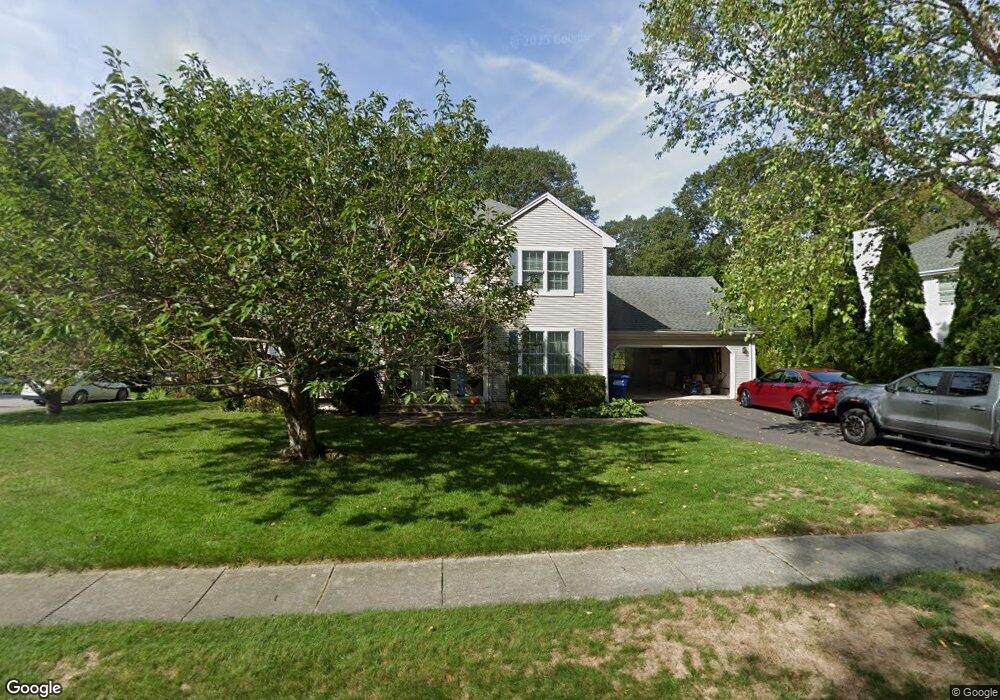
83 Payer Ln Mystic, CT 06355
West Mystic NeighborhoodEstimated Value: $811,917 - $898,000
4
Beds
3
Baths
2,556
Sq Ft
$338/Sq Ft
Est. Value
About This Home
This home is located at 83 Payer Ln, Mystic, CT 06355 and is currently estimated at $864,229, approximately $338 per square foot. 83 Payer Ln is a home located in New London County with nearby schools including Northeast Academy Arts Magnet School, Groton Middle School, and Robert E. Fitch High School.
Ownership History
Date
Name
Owned For
Owner Type
Purchase Details
Closed on
Jan 6, 2011
Sold by
Scanlon Dawn L
Bought by
Scanlon 3Rd Michael J and Scanlon Dawn L
Current Estimated Value
Purchase Details
Closed on
May 27, 1994
Sold by
Admyst Corp
Bought by
Scanlon Michael J and Scanlon Dawn
Home Financials for this Owner
Home Financials are based on the most recent Mortgage that was taken out on this home.
Original Mortgage
$162,400
Interest Rate
8.22%
Mortgage Type
Purchase Money Mortgage
Create a Home Valuation Report for This Property
The Home Valuation Report is an in-depth analysis detailing your home's value as well as a comparison with similar homes in the area
Home Values in the Area
Average Home Value in this Area
Purchase History
| Date | Buyer | Sale Price | Title Company |
|---|---|---|---|
| Scanlon 3Rd Michael J | -- | -- | |
| Scanlon Michael J | $203,111 | -- |
Source: Public Records
Mortgage History
| Date | Status | Borrower | Loan Amount |
|---|---|---|---|
| Previous Owner | Scanlon Michael J | $20,000 | |
| Previous Owner | Scanlon Michael J | $162,400 |
Source: Public Records
Tax History Compared to Growth
Tax History
| Year | Tax Paid | Tax Assessment Tax Assessment Total Assessment is a certain percentage of the fair market value that is determined by local assessors to be the total taxable value of land and additions on the property. | Land | Improvement |
|---|---|---|---|---|
| 2025 | $10,350 | $380,240 | $176,204 | $204,036 |
| 2024 | $9,615 | $380,240 | $176,204 | $204,036 |
| 2023 | $9,242 | $380,240 | $88,760 | $291,480 |
| 2022 | $9,040 | $380,240 | $88,760 | $291,480 |
| 2021 | $6,908 | $245,210 | $59,220 | $185,990 |
| 2020 | $6,851 | $245,210 | $59,220 | $185,990 |
| 2019 | $6,554 | $245,210 | $59,220 | $185,990 |
| 2018 | $6,476 | $245,210 | $59,220 | $185,990 |
| 2017 | $6,356 | $245,210 | $59,220 | $185,990 |
| 2016 | $6,544 | $272,230 | $94,220 | $178,010 |
| 2015 | $6,327 | $272,230 | $94,220 | $178,010 |
| 2014 | $6,177 | $272,230 | $94,220 | $178,010 |
Source: Public Records
Map
Nearby Homes
- 40 Allyn St
- 375 Allyn St Unit 2
- 375 Allyn St Unit 4
- 147 Pequot Ave
- 435 High St Unit 31
- 435 High St Unit 30
- 435 High St Unit 58
- 435 High St Unit 26
- 190 Library St
- 518 Noank Ledyard Rd
- 5 Park Place
- 7 Gravel St Unit 1
- 19 Ashby St
- 3 Water St Unit 301
- 3 Water St Unit 305
- 201 Daniel Brown Dr
- 17 Water St Unit A-10
- 3 Stanton Place
- 60 Willow St Unit 305
- 60 Willow St Unit 205