Estimated Value: $108,214 - $155,000
--
Bed
1
Bath
1,170
Sq Ft
$121/Sq Ft
Est. Value
About This Home
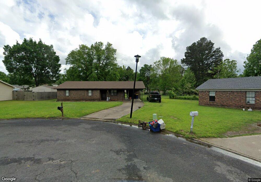
This home is located at 83 Pear St, Cabot, AR 72023 and is currently estimated at $141,054, approximately $120 per square foot. 83 Pear St is a home located in Lonoke County with nearby schools including Central Elementary School, Cabot Junior High South, and Cabot Middle School South.
Ownership History
Date
Name
Owned For
Owner Type
Purchase Details
Closed on
Nov 18, 2021
Sold by
Dustin A And Carmen R Jones Living Trust
Bought by
Bid Daddy Properties Llc
Current Estimated Value
Purchase Details
Closed on
Oct 18, 2021
Sold by
Jones Dustin A and Jones Carmen R
Bought by
Bid Daddy Properties Llc
Purchase Details
Closed on
Jun 3, 2002
Bought by
Jones and Jones Wf
Purchase Details
Closed on
Jul 6, 1995
Bought by
Leggett and Wife Juliette
Purchase Details
Closed on
Jan 5, 1989
Bought by
Sentell
Purchase Details
Closed on
Oct 3, 1984
Bought by
Vanderpool
Purchase Details
Closed on
Dec 21, 1981
Bought by
Ezell
Create a Home Valuation Report for This Property
The Home Valuation Report is an in-depth analysis detailing your home's value as well as a comparison with similar homes in the area
Home Values in the Area
Average Home Value in this Area
Purchase History
| Date | Buyer | Sale Price | Title Company |
|---|---|---|---|
| Bid Daddy Properties Llc | -- | Nash Law Firm | |
| Bid Daddy Properties Llc | -- | None Available | |
| Jones | $40,800 | -- | |
| Jones | $40,800 | -- | |
| Leggett | $51,000 | -- | |
| Sentell | $45,000 | -- | |
| Vanderpool | $39,000 | -- | |
| Ezell | $40,000 | -- |
Source: Public Records
Tax History Compared to Growth
Tax History
| Year | Tax Paid | Tax Assessment Tax Assessment Total Assessment is a certain percentage of the fair market value that is determined by local assessors to be the total taxable value of land and additions on the property. | Land | Improvement |
|---|---|---|---|---|
| 2025 | $728 | $14,310 | $2,000 | $12,310 |
| 2024 | $728 | $14,310 | $2,000 | $12,310 |
| 2023 | $728 | $14,310 | $2,000 | $12,310 |
| 2022 | $728 | $14,310 | $2,000 | $12,310 |
| 2021 | $728 | $14,310 | $2,000 | $12,310 |
| 2020 | $705 | $13,850 | $2,000 | $11,850 |
| 2019 | $705 | $13,850 | $2,000 | $11,850 |
| 2018 | $684 | $13,850 | $2,000 | $11,850 |
| 2017 | $636 | $13,850 | $2,000 | $11,850 |
| 2016 | $684 | $13,850 | $2,000 | $11,850 |
| 2015 | $682 | $13,800 | $2,000 | $11,800 |
| 2014 | $682 | $13,800 | $2,000 | $11,800 |
Source: Public Records
Map
Nearby Homes
- 69 Sycamore Cir
- 65 Oak Meadows Dr
- 34 Bent Tree Dr
- 40 Bent Tree Dr
- 30 Meadowlark Dr
- 00 Kerr Station Rd
- 511 S Grant St
- 23 Robinson St
- 509 E Myrtle St
- 00 Plaza Blvd
- 18 Sycamore St
- 23 Alexis Dr
- 30 Pheasant Run Dr
- 34 Saint John St
- 12 Bellaire Dr
- 97 S Pine St
- 308 N Madison St
- 12 Raspberry Ln
- 64 Saint John St
- 121 Rodney Guthrie Dr