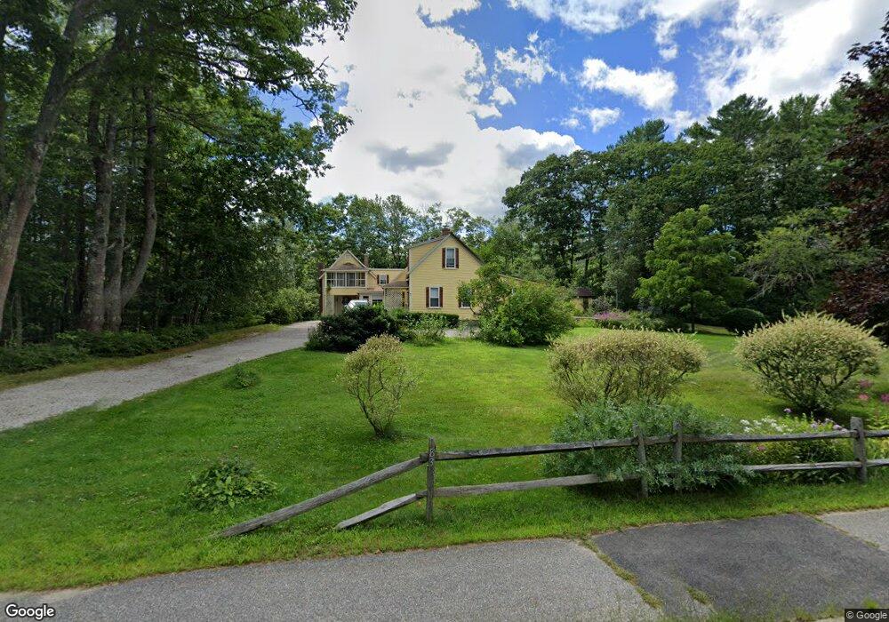
83 Port Rd Kennebunk, ME 04043
Estimated Value: $803,425 - $1,379,000
4
Beds
2
Baths
2,472
Sq Ft
$401/Sq Ft
Est. Value
About This Home
This home is located at 83 Port Rd, Kennebunk, ME 04043 and is currently estimated at $991,606, approximately $401 per square foot. 83 Port Rd is a home located in York County with nearby schools including Kennebunk High School and The New School.
Create a Home Valuation Report for This Property
The Home Valuation Report is an in-depth analysis detailing your home's value as well as a comparison with similar homes in the area
Home Values in the Area
Average Home Value in this Area
Tax History Compared to Growth
Tax History
| Year | Tax Paid | Tax Assessment Tax Assessment Total Assessment is a certain percentage of the fair market value that is determined by local assessors to be the total taxable value of land and additions on the property. | Land | Improvement |
|---|---|---|---|---|
| 2024 | $7,155 | $422,100 | $168,400 | $253,700 |
| 2023 | $6,775 | $422,100 | $168,400 | $253,700 |
| 2022 | $6,163 | $422,100 | $168,400 | $253,700 |
| 2021 | $6,015 | $422,100 | $168,400 | $253,700 |
| 2020 | $5,973 | $422,100 | $168,400 | $253,700 |
| 2019 | $5,804 | $422,100 | $168,400 | $253,700 |
| 2018 | $5,541 | $316,600 | $126,300 | $190,300 |
| 2017 | $5,240 | $316,600 | $126,300 | $190,300 |
| 2016 | $5,034 | $316,600 | $126,300 | $190,300 |
| 2015 | $4,611 | $316,600 | $126,300 | $190,300 |
| 2014 | $4,491 | $316,600 | $126,300 | $190,300 |
Source: Public Records
Map
Nearby Homes
- 28 River Locks Rd
- 57 Southgate Rd
- Lot#39 Bufflehead Cove Ln
- 14 Rachel Dr
- 87 Boothby Rd
- 19 Port View Ln Unit 19
- 3 Breakwater Ct Unit 1
- 15 Benjamin Hubbard Ln Unit 15
- 9 Christensen Ln
- 20 Ephraim Tyler Way Unit 20
- 6 Old Port Rd
- 15 Christensen Ln Unit B1
- 12 Ephraim Tyler Way
- 16 Oak St
- 8 Tidewater Ct
- 12 Beach Ave
- 12 Wallace St
- 5 Heath Rd
- 20 Surf Ln
- 60 Ocean Ave