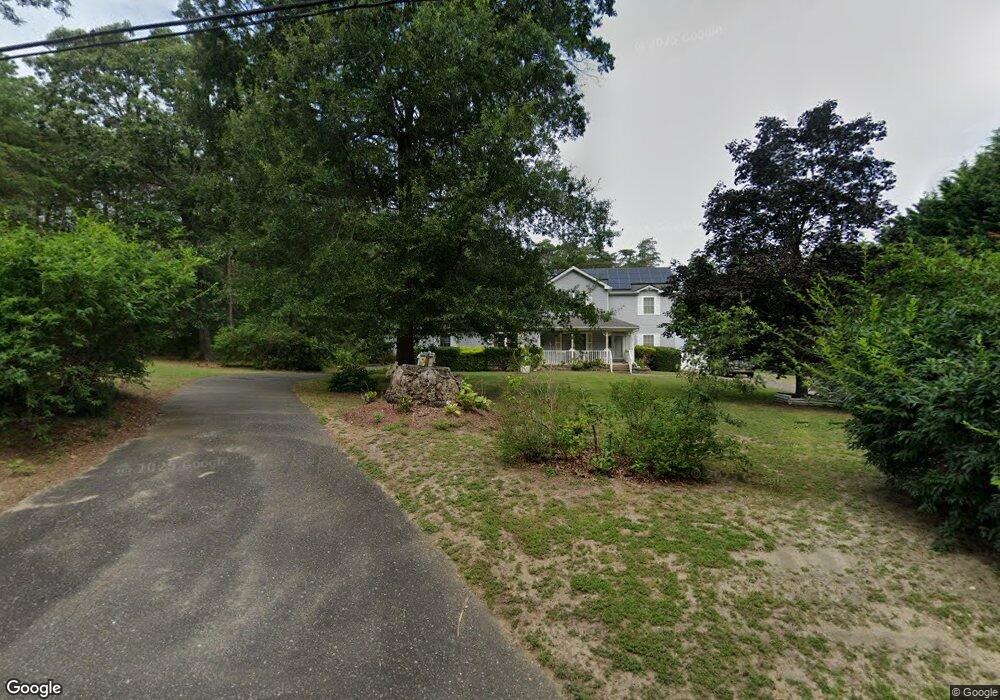
83 Railroad Ave Leesburg, NJ 08327
Maurice River NeighborhoodEstimated Value: $374,000 - $487,000
--
Bed
--
Bath
3,962
Sq Ft
$111/Sq Ft
Est. Value
About This Home
This home is located at 83 Railroad Ave, Leesburg, NJ 08327 and is currently estimated at $440,484, approximately $111 per square foot. 83 Railroad Ave is a home with nearby schools including Maurice River Township Elementary School.
Ownership History
Date
Name
Owned For
Owner Type
Purchase Details
Closed on
Dec 31, 2018
Sold by
Cottrell Charlotte A
Bought by
Keefer Jared and Keefer Margaret
Current Estimated Value
Home Financials for this Owner
Home Financials are based on the most recent Mortgage that was taken out on this home.
Original Mortgage
$182,000
Outstanding Balance
$160,658
Interest Rate
4.8%
Mortgage Type
New Conventional
Estimated Equity
$279,826
Create a Home Valuation Report for This Property
The Home Valuation Report is an in-depth analysis detailing your home's value as well as a comparison with similar homes in the area
Home Values in the Area
Average Home Value in this Area
Purchase History
| Date | Buyer | Sale Price | Title Company |
|---|---|---|---|
| Keefer Jared | $280,000 | Landis Title |
Source: Public Records
Mortgage History
| Date | Status | Borrower | Loan Amount |
|---|---|---|---|
| Open | Keefer Jared | $182,000 |
Source: Public Records
Tax History Compared to Growth
Tax History
| Year | Tax Paid | Tax Assessment Tax Assessment Total Assessment is a certain percentage of the fair market value that is determined by local assessors to be the total taxable value of land and additions on the property. | Land | Improvement |
|---|---|---|---|---|
| 2025 | $10,129 | $350,000 | $46,700 | $303,300 |
| 2024 | $10,129 | $350,000 | $46,700 | $303,300 |
| 2023 | $10,280 | $350,000 | $46,700 | $303,300 |
| 2022 | $10,315 | $350,000 | $46,700 | $303,300 |
| 2021 | $10,105 | $376,900 | $46,700 | $330,200 |
| 2020 | $10,892 | $376,900 | $46,700 | $330,200 |
| 2019 | $10,644 | $376,900 | $46,700 | $330,200 |
| 2018 | $10,391 | $376,900 | $46,700 | $330,200 |
| 2017 | $10,327 | $376,900 | $46,700 | $330,200 |
| 2016 | $10,052 | $376,900 | $46,700 | $330,200 |
| 2015 | $9,965 | $376,900 | $46,700 | $330,200 |
| 2014 | $9,781 | $376,900 | $46,700 | $330,200 |
Source: Public Records
Map
Nearby Homes
- 444 Main St
- 423 Main St
- 414 Main St
- 14 Ward Ave
- 619 Main St
- 623 Main St
- 643 Main St
- 0 Route 47 Unit NJCB2025104
- 196 Carlisle Place Rd
- 1224 Front St
- 1223 Front St
- 126 Newell Rd
- 9516 Highland St
- 9087 Highland St
- 96 Main St
- 2029 E Buckshutem Rd
- 0 Route 47
- 0 Route 347 and Carlisle Place Rd Unit NJCB2027664
- 1600 North Ave
- 1658 North Ave