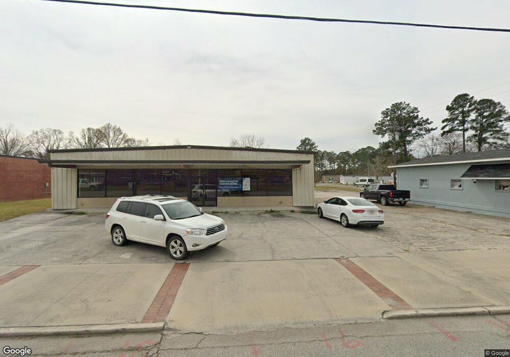
83 Railroad St Pembroke, GA 31321
Estimated Value: $564,516
--
Bed
--
Bath
8,092
Sq Ft
$70/Sq Ft
Est. Value
About This Home
This home is located at 83 Railroad St, Pembroke, GA 31321 and is currently estimated at $564,516, approximately $69 per square foot. 83 Railroad St is a home located in Bryan County with nearby schools including Lanier Primary School, Bryan County Elementary School, and Bryan County Middle School.
Ownership History
Date
Name
Owned For
Owner Type
Purchase Details
Closed on
Jul 6, 2012
Sold by
Warnell Willam D
Bought by
Tfs Properties Llc
Current Estimated Value
Purchase Details
Closed on
Mar 1, 1996
Bought by
Warnell Willam D
Purchase Details
Closed on
Jan 1, 1990
Purchase Details
Closed on
Mar 1, 1952
Purchase Details
Closed on
Oct 1, 1902
Create a Home Valuation Report for This Property
The Home Valuation Report is an in-depth analysis detailing your home's value as well as a comparison with similar homes in the area
Home Values in the Area
Average Home Value in this Area
Purchase History
| Date | Buyer | Sale Price | Title Company |
|---|---|---|---|
| Tfs Properties Llc | $180,000 | -- | |
| Warnell Willam D | $7,500 | -- | |
| -- | -- | -- | |
| -- | -- | -- | |
| -- | $12,000 | -- |
Source: Public Records
Mortgage History
| Date | Status | Borrower | Loan Amount |
|---|---|---|---|
| Closed | Tfs Properties Llc | $0 |
Source: Public Records
Tax History Compared to Growth
Tax History
| Year | Tax Paid | Tax Assessment Tax Assessment Total Assessment is a certain percentage of the fair market value that is determined by local assessors to be the total taxable value of land and additions on the property. | Land | Improvement |
|---|---|---|---|---|
| 2024 | $2,955 | $82,944 | $5,680 | $77,264 |
| 2023 | $2,164 | $84,112 | $6,800 | $77,312 |
| 2022 | $3,277 | $94,792 | $8,800 | $85,992 |
| 2021 | $3,208 | $92,792 | $8,800 | $83,992 |
| 2020 | $3,129 | $89,672 | $5,680 | $83,992 |
| 2019 | $2,313 | $89,984 | $5,680 | $84,304 |
| 2018 | $2,329 | $89,984 | $5,680 | $84,304 |
| 2017 | $2,462 | $92,124 | $5,960 | $86,164 |
| 2016 | $2,476 | $98,564 | $5,960 | $92,604 |
| 2015 | $2,498 | $71,640 | $0 | $0 |
| 2014 | $2,496 | $71,640 | $0 | $0 |
Source: Public Records
Map
Nearby Homes
- 0 Highway 67 Unit 10616006
- 135 S Main St
- 0 Highway 119 Unit 10522871
- 0 Highway 119 Unit SA330839
- 0 Hwy 119 N Unit 298325
- 0 Georgia 67 Unit 24588527
- 0 U S Highway 280
- 301 Park Ave
- 351 S Poplar St
- 231 Warnell St
- 0 Fabled Ln Unit LOT 4 10595758
- 0 Warnell St Unit 10512255
- 3302 Georgia 67
- 2953 Georgia 67
- 001 Georgia 67
- 40 Circle Dr
- 240 Kayton Ct
- 25 Hamilton Ct
- 55 Kayton Ct
- 90 Kayton Ct
- 66 Ledford St
- 21 Railroad St
- 0 Ledford St Unit 74186
- 0 Ledford St Unit 294049
- 0 Ledford St Unit 118916
- 11 Railroad St
- 0 Strickland St Unit 148513
- 0 Strickland St Unit LOT 1
- 0 Strickland St Unit 7534579
- 0 Strickland St Unit LOT 2 7159847
- 0 Strickland St Unit LOT 1 7159840
- 0 Strickland St Unit 260931
- 21 W Gibson St
- 302 S Main St
- 70 W Bacon St
- 56 W Bacon St
- 90 W Bacon St
- 105 Bing St
- 306 S Main St
- 10 U S 280