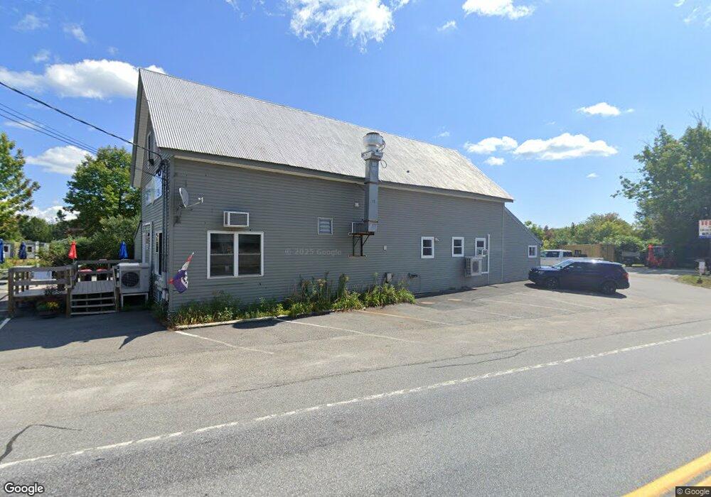
83 Route 133 Winthrop, ME 04364
Estimated Value: $487,291
2
Beds
1
Bath
3,891
Sq Ft
$125/Sq Ft
Est. Value
About This Home
This home is located at 83 Route 133, Winthrop, ME 04364 and is currently estimated at $487,291, approximately $125 per square foot. 83 Route 133 is a home located in Kennebec County with nearby schools including Winthrop Grade School, Winthrop Middle School, and Winthrop High School.
Ownership History
Date
Name
Owned For
Owner Type
Purchase Details
Closed on
Feb 26, 2021
Sold by
Lough Patricia A and Lough Richard E
Bought by
Btc Properties
Current Estimated Value
Home Financials for this Owner
Home Financials are based on the most recent Mortgage that was taken out on this home.
Original Mortgage
$253,600
Outstanding Balance
$224,737
Interest Rate
2.7%
Mortgage Type
Purchase Money Mortgage
Estimated Equity
$262,554
Create a Home Valuation Report for This Property
The Home Valuation Report is an in-depth analysis detailing your home's value as well as a comparison with similar homes in the area
Home Values in the Area
Average Home Value in this Area
Purchase History
| Date | Buyer | Sale Price | Title Company |
|---|---|---|---|
| Btc Properties | -- | None Available | |
| Btc Properties | -- | None Available | |
| Btc Properties | -- | None Available |
Source: Public Records
Mortgage History
| Date | Status | Borrower | Loan Amount |
|---|---|---|---|
| Open | Btc Properties | $253,600 | |
| Closed | Btc Properties | $253,600 |
Source: Public Records
Tax History
| Year | Tax Paid | Tax Assessment Tax Assessment Total Assessment is a certain percentage of the fair market value that is determined by local assessors to be the total taxable value of land and additions on the property. | Land | Improvement |
|---|---|---|---|---|
| 2025 | $5,054 | $218,800 | $34,800 | $184,000 |
| 2024 | $5,054 | $218,800 | $34,800 | $184,000 |
| 2022 | $4,763 | $218,800 | $34,800 | $184,000 |
| 2021 | $3,563 | $173,400 | $34,800 | $138,600 |
| 2020 | $3,581 | $173,400 | $34,800 | $138,600 |
| 2019 | $3,511 | $173,400 | $34,800 | $138,600 |
| 2018 | $3,175 | $173,400 | $34,800 | $138,600 |
| 2017 | $2,970 | $173,400 | $34,800 | $138,600 |
| 2016 | $2,747 | $173,400 | $34,800 | $138,600 |
| 2015 | $2,650 | $173,400 | $34,800 | $138,600 |
| 2014 | $2,650 | $173,400 | $34,800 | $138,600 |
Source: Public Records
Map
Nearby Homes
- 100 Route 133
- 27 Royal St
- 17 Royal St
- 67 Main St
- 51 Bowdoin St
- 25 Birch St
- 104 Memorial Dr
- 42 Squire Ct
- 974 Sturtevant Hill Rd
- 60 Route 41
- 89 Boot Cove Ln
- 364 Metcalf Rd
- 90 Bearce Rd
- M003L006 Winthrop Center Rd
- 476 Winthrop Center Rd
- 247 Winthrop Center Rd
- 307 Route 41
- 956 Memorial Dr
- 616 Stanley Rd
- 24 Winthrop Center Rd
Your Personal Tour Guide
Ask me questions while you tour the home.