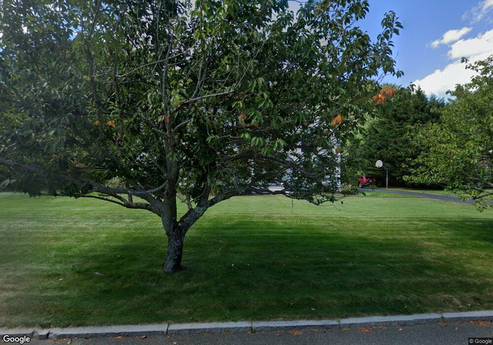
83 Setterland Farm Rd Hanover, MA 02339
Estimated Value: $1,387,252 - $1,531,000
4
Beds
4
Baths
3,886
Sq Ft
$374/Sq Ft
Est. Value
About This Home
This home is located at 83 Setterland Farm Rd, Hanover, MA 02339 and is currently estimated at $1,453,063, approximately $373 per square foot. 83 Setterland Farm Rd is a home located in Plymouth County with nearby schools including Hanover High School, South Shore Charter Public School, and Norwell KinderCare.
Create a Home Valuation Report for This Property
The Home Valuation Report is an in-depth analysis detailing your home's value as well as a comparison with similar homes in the area
Home Values in the Area
Average Home Value in this Area
Tax History Compared to Growth
Tax History
| Year | Tax Paid | Tax Assessment Tax Assessment Total Assessment is a certain percentage of the fair market value that is determined by local assessors to be the total taxable value of land and additions on the property. | Land | Improvement |
|---|---|---|---|---|
| 2025 | $15,094 | $1,222,200 | $330,000 | $892,200 |
| 2024 | $14,576 | $1,135,200 | $330,000 | $805,200 |
| 2023 | $14,540 | $1,077,800 | $300,000 | $777,800 |
| 2022 | $14,478 | $949,400 | $262,500 | $686,900 |
| 2021 | $14,261 | $873,300 | $239,000 | $634,300 |
| 2020 | $13,780 | $844,900 | $239,000 | $605,900 |
| 2019 | $13,399 | $816,500 | $250,300 | $566,200 |
| 2018 | $12,951 | $795,500 | $261,700 | $533,800 |
| 2017 | $12,238 | $740,800 | $257,900 | $482,900 |
| 2016 | $11,905 | $706,100 | $234,300 | $471,800 |
| 2015 | $11,404 | $706,100 | $234,300 | $471,800 |
Source: Public Records
Map
Nearby Homes
- 70 Dillingham Way
- 73 Shingle Mill Ln
- 375 Webster St
- 1239 Main St
- 53 Chestnut St
- 50 Village Ln
- 62 Larchmont Ln
- 120 Deerfield Ln
- 7 Assinippi Ave Unit 205
- 7 Assinippi Ave Unit 306
- 3 Blueberry Ct
- 206-208 Hinghm St
- 436 E Water St
- 214 Washington St Unit 24
- 214 Washington St Unit 28
- 205 Pond St
- 55 Turner Rd
- 18 Colby St
- 49 Liberty St
- 107 Manzella Ct
- 95 Setterland Farm Rd
- 69 Setterland Farm Rd
- 80 Setterland Farm Rd
- 94 Setterland Farm Rd
- 113 Setterland Farm Rd
- 57 Setterland Farm Rd
- 68 Setterland Farm Rd
- 104 Setterland Farm Rd
- 56 Setterland Farm Rd
- 49 Paul Rd
- 49 Paul Rd Unit 1
- 34 Country Rd
- 28 Country Rd
- 35 Paul Rd
- 45 Setterland Farm Rd
- 121 Setterland Farm Rd
- 77 Paul Rd
- 65 Paul Rd
- 130 Setterland Farm Rd
- 132 Setterland Farm Rd
