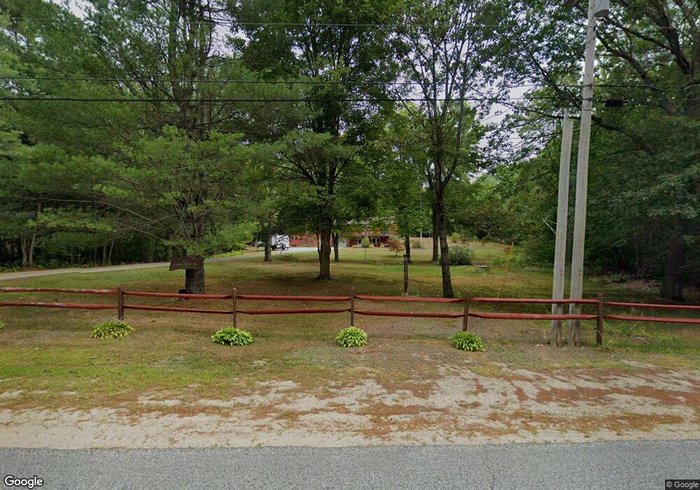
83 Shady Nook Rd West Newfield, ME 04095
Newfield NeighborhoodEstimated Value: $277,000 - $441,000
4
Beds
1
Bath
--
Sq Ft
2.75
Acres
About This Home
This home is located at 83 Shady Nook Rd, West Newfield, ME 04095 and is currently estimated at $355,451. 83 Shady Nook Rd is a home with nearby schools including Massabesic High School.
Ownership History
Date
Name
Owned For
Owner Type
Purchase Details
Closed on
Aug 11, 2005
Sold by
Whitaker Melinda J and Whitaker Craig D
Bought by
Tarbox Karen and Tarbox David
Current Estimated Value
Home Financials for this Owner
Home Financials are based on the most recent Mortgage that was taken out on this home.
Original Mortgage
$138,400
Outstanding Balance
$71,227
Interest Rate
5.54%
Mortgage Type
Purchase Money Mortgage
Estimated Equity
$284,224
Create a Home Valuation Report for This Property
The Home Valuation Report is an in-depth analysis detailing your home's value as well as a comparison with similar homes in the area
Home Values in the Area
Average Home Value in this Area
Purchase History
| Date | Buyer | Sale Price | Title Company |
|---|---|---|---|
| Tarbox Karen | -- | -- |
Source: Public Records
Mortgage History
| Date | Status | Borrower | Loan Amount |
|---|---|---|---|
| Open | Tarbox Karen | $138,400 |
Source: Public Records
Tax History Compared to Growth
Tax History
| Year | Tax Paid | Tax Assessment Tax Assessment Total Assessment is a certain percentage of the fair market value that is determined by local assessors to be the total taxable value of land and additions on the property. | Land | Improvement |
|---|---|---|---|---|
| 2025 | $2,361 | $191,300 | $69,000 | $122,300 |
| 2024 | $2,257 | $191,300 | $69,000 | $122,300 |
| 2023 | $2,089 | $191,300 | $69,000 | $122,300 |
| 2022 | $1,867 | $191,300 | $69,000 | $122,300 |
| 2021 | $1,741 | $153,000 | $55,200 | $97,800 |
| 2020 | $1,374 | $153,000 | $55,200 | $97,800 |
| 2019 | $4,007 | $153,000 | $55,200 | $97,800 |
| 2018 | $1,674 | $153,000 | $55,200 | $97,800 |
| 2017 | $1,652 | $153,000 | $55,200 | $97,800 |
| 2016 | $1,608 | $153,000 | $55,200 | $97,800 |
| 2015 | $1,490 | $153,000 | $55,200 | $97,800 |
| 2014 | $1,504 | $161,700 | $65,600 | $96,100 |
| 2013 | $1,455 | $161,700 | $65,600 | $96,100 |
Source: Public Records
Map
Nearby Homes
- 00 Carter Ln
- 220 Bond Spring Rd
- 112 Gile Rd
- 281 Gile Rd
- 367 Shady Nook Rd
- 510 Balch Mill Rd
- 59 Main St
- 11 Symmes Dr
- 315 Libby Rd
- 174 Wakefield Rd
- 282 Granny Kent Pond Rd
- 57 Green Bay Rd
- 164 Granny Kent Pond Rd
- 00 Libby Rd Unit Lot 9
- 0 Island Dr
- 253 Asbury Ln
- 347 Anderson Cove Rd
- Lot 3C Bridge St
- 00 Bridge St
- Lot 5 St Laurent Way
- 91 Shady Nook Rd
- 69 Shady Nook Rd
- 99 Shady Nook Rd
- 67 Shady Nook Rd
- 110 Shady Nook Rd
- 110 Shady Nook Rd
- 00 Shady Nook Rd
- 53 Shady Nook Rd
- 106 Shady Nook Rd
- 118 Shady Nook Rd
- 40 Morrison Ln
- 47 Shady Nook Rd
- 80 Morrison Ln
- 60 Morrison Ln
- 120 Shady Nook Rd
- 123 Shady Nook Rd
- 0 Morrison Ln
- 127 Shady Nook Rd
- 31 Shady Nook Rd
- 21 Morrison Ln