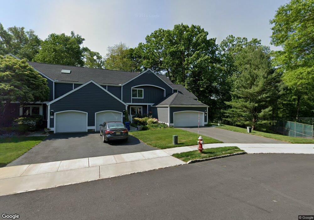
83 Sherwood Dr Morristown, NJ 07960
Estimated Value: $771,000 - $850,000
3
Beds
3
Baths
2,168
Sq Ft
$371/Sq Ft
Est. Value
About This Home
This home is located at 83 Sherwood Dr, Morristown, NJ 07960 and is currently estimated at $805,364, approximately $371 per square foot. 83 Sherwood Dr is a home located in Morris County with nearby schools including Hillcrest School, Thomas Jefferson School, and Alexander Hamilton School.
Ownership History
Date
Name
Owned For
Owner Type
Purchase Details
Closed on
Dec 7, 2022
Sold by
Ralph G Engelsman Trust
Bought by
Engelsman Daniel G
Current Estimated Value
Purchase Details
Closed on
Feb 21, 2003
Sold by
Perina Anson
Bought by
Epstein Sarah and Engelsman Ralph
Purchase Details
Closed on
Dec 23, 1999
Sold by
Perina Anson and Perina Adele E
Bought by
The Anson Perina Qprt and Perina Barbara
Purchase Details
Closed on
Jan 6, 1998
Sold by
Perina Anson and Perina Adele E
Bought by
Perina Anson and Perina Adele E
Purchase Details
Closed on
Jun 4, 1996
Sold by
Taylor Margaret W
Bought by
Perina Anson and Perina Adele F
Create a Home Valuation Report for This Property
The Home Valuation Report is an in-depth analysis detailing your home's value as well as a comparison with similar homes in the area
Home Values in the Area
Average Home Value in this Area
Purchase History
| Date | Buyer | Sale Price | Title Company |
|---|---|---|---|
| Engelsman Daniel G | -- | -- | |
| Epstein Sarah | $515,000 | -- | |
| The Anson Perina Qprt | -- | -- | |
| Perina Anson | -- | -- | |
| Perina Anson | $365,000 | -- |
Source: Public Records
Tax History Compared to Growth
Tax History
| Year | Tax Paid | Tax Assessment Tax Assessment Total Assessment is a certain percentage of the fair market value that is determined by local assessors to be the total taxable value of land and additions on the property. | Land | Improvement |
|---|---|---|---|---|
| 2025 | $10,218 | $510,400 | $211,500 | $298,900 |
| 2024 | $10,234 | $510,400 | $211,500 | $298,900 |
| 2023 | $10,234 | $510,400 | $211,500 | $298,900 |
| 2022 | $9,568 | $500,400 | $211,500 | $288,900 |
| 2021 | $9,568 | $500,400 | $211,500 | $288,900 |
| 2020 | $9,317 | $500,400 | $211,500 | $288,900 |
| 2019 | $9,172 | $500,400 | $211,500 | $288,900 |
| 2018 | $9,072 | $500,400 | $211,500 | $288,900 |
| 2017 | $9,012 | $500,400 | $211,500 | $288,900 |
| 2016 | $8,872 | $500,400 | $211,500 | $288,900 |
| 2015 | $10,540 | $415,600 | $90,000 | $325,600 |
| 2014 | $10,402 | $415,600 | $90,000 | $325,600 |
Source: Public Records
Map
Nearby Homes
- 9 Wren Ct
- 10 Westminster Place
- 194 James St
- 1 Spring Brook Rd
- 21 Maxwell Ct
- 24 Spring Brook Rd
- 9 Carla Ct
- 2 Skyline Dr
- 234 Mount Kemble Ave
- 232 Mount Kemble Ave
- 237 Mount Kemble Ave
- 4 Old Harter Rd
- 59 James St
- 282 Mount Kemble Ave
- 1 Twin Oaks Ln
- 48 Miller Rd Unit 50
- 97 Skyline Dr
- 4 Perry St
- 15 Woodland Ave
- 6 Brookfield Way