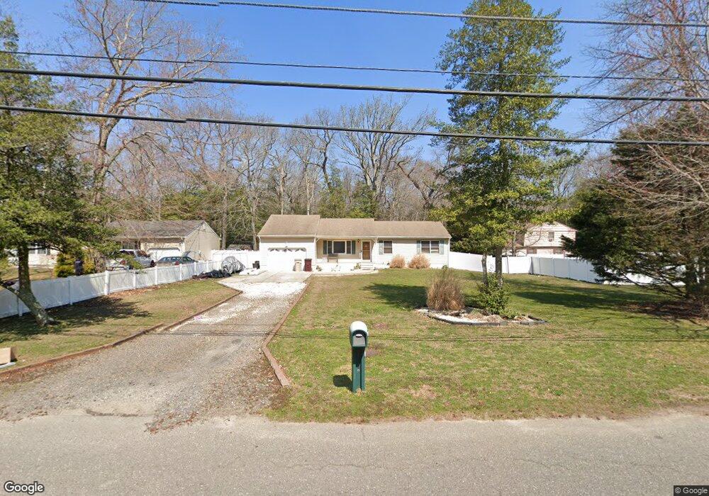
83 Sloop Creek Rd Bayville, NJ 08721
Estimated Value: $450,961 - $575,000
3
Beds
2
Baths
1,364
Sq Ft
$366/Sq Ft
Est. Value
About This Home
This home is located at 83 Sloop Creek Rd, Bayville, NJ 08721 and is currently estimated at $498,990, approximately $365 per square foot. 83 Sloop Creek Rd is a home located in Ocean County with nearby schools including Central Regional Middle School, Central Regional High School, and Ocean Academy.
Ownership History
Date
Name
Owned For
Owner Type
Purchase Details
Closed on
Feb 4, 2011
Sold by
Blanken Anthony H
Bought by
Lewis Shannon L
Current Estimated Value
Home Financials for this Owner
Home Financials are based on the most recent Mortgage that was taken out on this home.
Original Mortgage
$228,917
Outstanding Balance
$156,419
Interest Rate
4.75%
Mortgage Type
FHA
Estimated Equity
$342,571
Purchase Details
Closed on
Jan 12, 2000
Sold by
Rinderer Rudolph
Bought by
Blanken Anthony and Blanken Judith
Create a Home Valuation Report for This Property
The Home Valuation Report is an in-depth analysis detailing your home's value as well as a comparison with similar homes in the area
Home Values in the Area
Average Home Value in this Area
Purchase History
| Date | Buyer | Sale Price | Title Company |
|---|---|---|---|
| Lewis Shannon L | $232,000 | First American Title Ins Co | |
| Blanken Anthony | $127,000 | -- |
Source: Public Records
Mortgage History
| Date | Status | Borrower | Loan Amount |
|---|---|---|---|
| Open | Lewis Shannon L | $228,917 |
Source: Public Records
Tax History
| Year | Tax Paid | Tax Assessment Tax Assessment Total Assessment is a certain percentage of the fair market value that is determined by local assessors to be the total taxable value of land and additions on the property. | Land | Improvement |
|---|---|---|---|---|
| 2025 | $6,048 | $233,500 | $110,000 | $123,500 |
| 2024 | $5,417 | $233,500 | $110,000 | $123,500 |
| 2023 | $5,317 | $233,500 | $110,000 | $123,500 |
| 2022 | $5,317 | $233,500 | $110,000 | $123,500 |
| 2021 | $5,205 | $233,500 | $110,000 | $123,500 |
| 2020 | $5,205 | $233,500 | $110,000 | $123,500 |
| 2019 | $5,060 | $233,500 | $110,000 | $123,500 |
| 2018 | $5,044 | $233,500 | $110,000 | $123,500 |
| 2017 | $4,857 | $233,500 | $110,000 | $123,500 |
| 2016 | $4,831 | $233,500 | $110,000 | $123,500 |
| 2015 | $4,698 | $233,500 | $110,000 | $123,500 |
| 2014 | $4,565 | $233,500 | $110,000 | $123,500 |
Source: Public Records
Map
Nearby Homes
- 134 Red Bank Ave
- 00 Red Bank Ave
- 0 Red Bank Ave
- 39 Sloop Creek Rd
- 43 Harborage Ave
- 39 Harborage Ave
- 128 Sloop Creek Rd
- 21 Buckley Ln
- 15 Buckley Ln
- 0 Block 1287 Lots 17 18 53-62 Cherry St
- 33 Blue Heron Ln
- 616 Riverside Dr
- 59 Top Sail Ct
- 231 Allen Rd
- 1011 Balsam Dr
- 609 Main St
- 71 Ronald Ave S
- 22 Toppinglift Dr
- 00 Main St
- 0 Main St Unit NJOC2008702
- 79 Sloop Creek Rd
- 84 Passaic Ave
- 75 Sloop Creek Rd
- 85 Sloop Creek Rd
- 80 Sloop Creek Rd
- 76 Sloop Creek Rd
- 127 Red Bank Ave
- 89 Passaic Ave
- 0 Passaic Ave Unit NJOC216180
- 00 Passaic Ave
- 121 Red Bank Ave
- 0 Joseph St Unit 22328391
- 0 Joseph St
- 121 Joseph St
- 133 Red Bank Ave
- 71 Sloop Creek Rd
- 124 Red Bank Ave
- 27 Joseph St
- 0 Newark Ave Unit 22031224
- 0 Newark Ave Unit 22013708
Your Personal Tour Guide
Ask me questions while you tour the home.