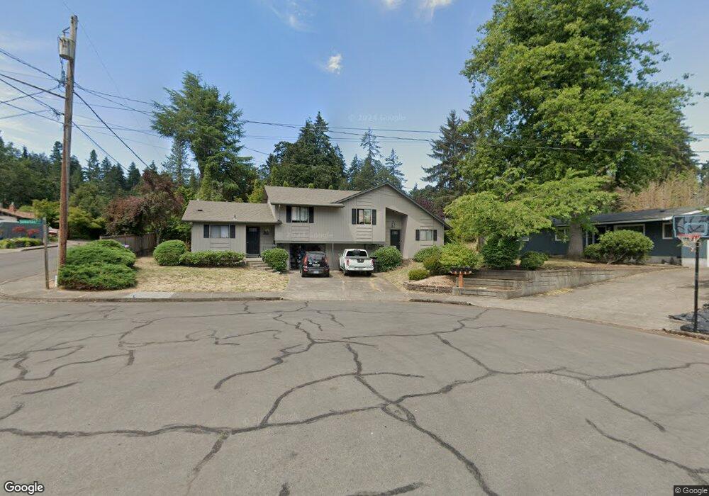
83 Somerset Ct Eugene, OR 97405
Crest Drive NeighborhoodEstimated Value: $462,000 - $614,000
About This Home
This home is located at 83 Somerset Ct, Eugene, OR 97405 and is currently estimated at $552,857, approximately $272 per square foot. 83 Somerset Ct is a home located in Lane County with nearby schools including Edgewood Community Elementary School, Spencer Butte Middle School, and South Eugene High School.
Ownership History
We collect this data history from publicly available records. To have your information removed, we recommend requesting removal directly through your county’s website.
Purchase Details
Purchase Details
Home Financials for this Owner
Home Financials are based on the most recent Mortgage that was taken out on this home.Home Values in the Area
Average Home Value in this Area
Purchase History
We collect this data history from publicly available records. To have your information removed, we recommend requesting removal directly through your county’s website.
| Date | Buyer | Sale Price | Title Company |
|---|---|---|---|
| -- | None Listed On Document | ||
| $210,000 | Western Pioneer Title Co |
Mortgage History
We collect this data history from publicly available records. To have your information removed, we recommend requesting removal directly through your county’s website.
| Date | Status | Borrower | Loan Amount |
|---|---|---|---|
| Previous Owner | $168,000 | ||
| Closed | $21,000 |
Tax History
We collect this data history from publicly available records. To have your information removed, we recommend requesting removal directly through your county’s website.
| Year | Tax Paid | Tax Assessment Tax Assessment Total Assessment is a certain percentage of the fair market value that is determined by local assessors to be the total taxable value of land and additions on the property. | Land | Improvement |
|---|---|---|---|---|
| 2025 | $5,370 | $275,636 | -- | -- |
| 2024 | $5,304 | $267,608 | -- | -- |
| 2023 | $5,304 | $259,814 | $0 | $0 |
| 2022 | $4,969 | $252,247 | $0 | $0 |
| 2021 | $4,667 | $244,900 | $0 | $0 |
| 2020 | $4,683 | $237,767 | $0 | $0 |
| 2019 | $4,523 | $230,842 | $0 | $0 |
| 2018 | $4,257 | $217,591 | $0 | $0 |
| 2017 | $4,067 | $217,591 | $0 | $0 |
| 2016 | $3,888 | $211,253 | $0 | $0 |
| 2015 | $3,686 | $205,100 | $0 | $0 |
| 2014 | $3,620 | $199,126 | $0 | $0 |
Map
- 60 W 36th Ave
- 97 W 36th Ave
- 320 Dellwood Dr
- 105 E 39th Ave
- 3398 Olive St
- 3982 Monroe St
- 4007 Brae Burn Dr
- 350 Loma Linda Ln
- 605 Fulvue Dr
- 0 Hidden Meadows
- 3854 Monroe St
- 434 E 39th Ave
- 3872 Monroe St
- 4083 Donald St Unit A
- 806 Sundance St
- 4059 Donald St Unit H
- 4355 Pearl St
- 0 E 39th Ave
- 157 Westbrook Way
- 101 Westbrook Way
Ask me questions while you tour the home.