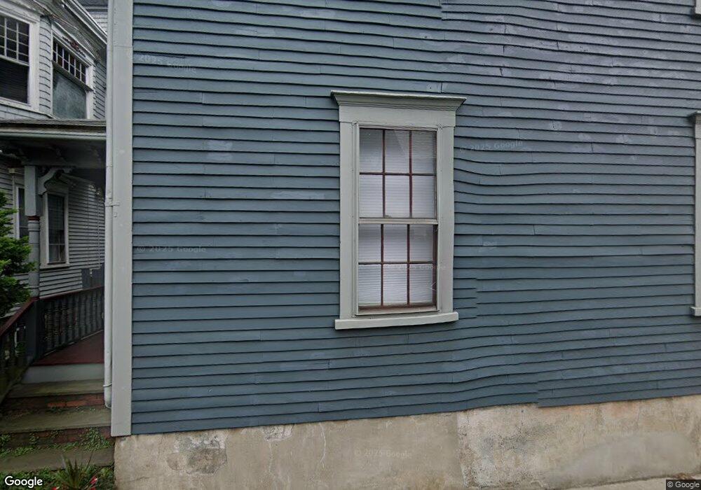
83 Spring St Newport, RI 02840
Historic Hill NeighborhoodEstimated Value: $954,248 - $1,799,000
3
Beds
1
Bath
2,952
Sq Ft
$446/Sq Ft
Est. Value
About This Home
This home is located at 83 Spring St, Newport, RI 02840 and is currently estimated at $1,316,562, approximately $445 per square foot. 83 Spring St is a home located in Newport County with nearby schools including Rogers High School, St Michael's Country Day School, and St George's School.
Ownership History
Date
Name
Owned For
Owner Type
Purchase Details
Closed on
Jan 20, 2016
Sold by
Fasciano Casey R and Palmer Margaret
Bought by
Fasciano Casey R and Palmer Margaret
Current Estimated Value
Purchase Details
Closed on
May 27, 2014
Sold by
Fasciano Casey R
Bought by
Fasciano Casey R and Palmer Margaret
Purchase Details
Closed on
May 16, 2014
Sold by
Fasciano Casey R and Palmer Margaret
Bought by
Fasciano Casey R
Purchase Details
Closed on
Feb 5, 1999
Sold by
Leis Barbara and Leis Amanda
Bought by
Fasciano Casey R and Palmer Margaret
Create a Home Valuation Report for This Property
The Home Valuation Report is an in-depth analysis detailing your home's value as well as a comparison with similar homes in the area
Home Values in the Area
Average Home Value in this Area
Purchase History
| Date | Buyer | Sale Price | Title Company |
|---|---|---|---|
| Fasciano Casey R | -- | -- | |
| Fasciano Casey R | -- | -- | |
| Fasciano Casey R | -- | -- | |
| Fasciano Casey R | $178,000 | -- |
Source: Public Records
Mortgage History
| Date | Status | Borrower | Loan Amount |
|---|---|---|---|
| Previous Owner | Fasciano Casey R | $100,000 | |
| Previous Owner | Fasciano Casey R | $150,000 | |
| Previous Owner | Fasciano Casey R | $168,000 |
Source: Public Records
Tax History Compared to Growth
Tax History
| Year | Tax Paid | Tax Assessment Tax Assessment Total Assessment is a certain percentage of the fair market value that is determined by local assessors to be the total taxable value of land and additions on the property. | Land | Improvement |
|---|---|---|---|---|
| 2025 | $7,722 | $1,075,500 | $356,000 | $719,500 |
| 2024 | $7,496 | $1,075,500 | $356,000 | $719,500 |
| 2023 | $6,809 | $686,400 | $232,700 | $453,700 |
| 2022 | $6,596 | $686,400 | $232,700 | $453,700 |
| 2021 | $6,404 | $686,400 | $232,700 | $453,700 |
| 2020 | $5,609 | $545,600 | $218,400 | $327,200 |
| 2019 | $5,609 | $545,600 | $218,400 | $327,200 |
| 2018 | $5,451 | $545,600 | $218,400 | $327,200 |
| 2017 | $5,340 | $476,400 | $156,200 | $320,200 |
| 2016 | $5,207 | $476,400 | $156,200 | $320,200 |
| 2015 | $5,083 | $476,400 | $156,200 | $320,200 |
| 2014 | $4,750 | $393,900 | $132,700 | $261,200 |
Source: Public Records
Map
Nearby Homes
- 10 Barney St Unit 102
- 10 Barney St Unit 107
- 10 Barney St Unit 101
- 10 Barney St Unit U106
- 130 Spring St Unit 132
- 50 School St Unit 7
- 12 Mount Vernon St Unit 5
- 10 Bull St
- 34 Bull St
- 27 Soar Way
- 75 Pelham St Unit B
- 31 Coddington St Unit 24
- 60 Prospect Hill St
- 102 Broadway Unit 2B
- 23 Mann Ave Unit 4
- 33 Kay St
- 26 Franklin St
- 1 Pell St
- 42 Mann Ave
- 5 Pell St
- 87 Spring St
- 89 Spring St
- 20 Clarke St
- 16 Clarke St
- 78 Spring St
- 95 Spring St
- 74 Spring St
- 72 Spring St
- 86 Spring St
- 69 Spring St Unit 3
- 69 Spring St
- 32 Clarke St
- 7 Division St
- 11 Division St
- 11 Division St Unit 1
- 58 Spring St
- 5 Division St
- 99 Spring St Unit T1
- 99 Spring St Unit R2
- 99 Spring St Unit R1