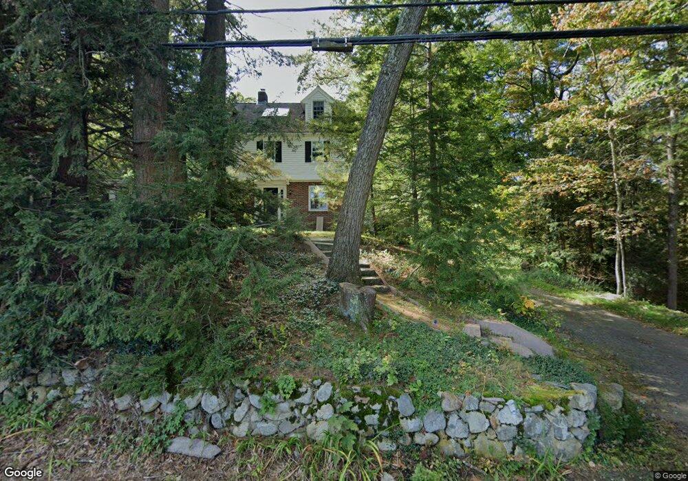
83 Tower Rd Lincoln, MA 01773
Estimated Value: $1,666,000 - $2,040,000
4
Beds
3
Baths
3,728
Sq Ft
$491/Sq Ft
Est. Value
About This Home
This home is located at 83 Tower Rd, Lincoln, MA 01773 and is currently estimated at $1,831,349, approximately $491 per square foot. 83 Tower Rd is a home located in Middlesex County with nearby schools including Lincoln-Sudbury Regional High School and The Cambridge School Of Weston.
Ownership History
Date
Name
Owned For
Owner Type
Purchase Details
Closed on
Jan 14, 2008
Sold by
Payne Andrew C and Payne Kelly A
Bought by
Payne Andrew S and Payne Kelly A
Current Estimated Value
Purchase Details
Closed on
Nov 19, 1997
Sold by
Ryan Alice E Est
Bought by
Payne Andrew C and Payne Kelly A
Create a Home Valuation Report for This Property
The Home Valuation Report is an in-depth analysis detailing your home's value as well as a comparison with similar homes in the area
Home Values in the Area
Average Home Value in this Area
Purchase History
| Date | Buyer | Sale Price | Title Company |
|---|---|---|---|
| Payne Andrew S | -- | -- | |
| Payne Andrew C | $385,000 | -- |
Source: Public Records
Mortgage History
| Date | Status | Borrower | Loan Amount |
|---|---|---|---|
| Previous Owner | Payne Andrew C | $60,000 |
Source: Public Records
Tax History
| Year | Tax Paid | Tax Assessment Tax Assessment Total Assessment is a certain percentage of the fair market value that is determined by local assessors to be the total taxable value of land and additions on the property. | Land | Improvement |
|---|---|---|---|---|
| 2025 | $187 | $1,460,400 | $823,500 | $636,900 |
| 2024 | $18,433 | $1,430,000 | $801,400 | $628,600 |
| 2023 | $19,013 | $1,365,900 | $741,400 | $624,500 |
| 2022 | $18,297 | $1,225,500 | $674,200 | $551,300 |
| 2021 | $17,108 | $1,102,300 | $601,400 | $500,900 |
| 2020 | $13,253 | $1,098,400 | $601,400 | $497,000 |
| 2019 | $11,819 | $1,047,200 | $583,800 | $463,400 |
| 2018 | $14,242 | $1,047,200 | $583,800 | $463,400 |
| 2017 | $12,042 | $1,005,300 | $553,400 | $451,900 |
| 2016 | $13,654 | $976,000 | $538,200 | $437,800 |
| 2015 | $13,236 | $935,400 | $501,400 | $434,000 |
| 2014 | $12,407 | $861,000 | $453,400 | $407,600 |
Source: Public Records
Map
Nearby Homes
- 130 Tower Rd
- 45 Weston Rd
- 22 Lincoln Rd
- 8 Silver Hill Rd
- 6 Clifford Ln
- 44 Baker Bridge Rd
- 46 Blackburnian Rd
- 45 Winter St
- 23 Bedford Rd
- 416 Conant Rd
- 93 Old Sudbury Rd
- 35 Bemis St
- 15 Myles Standish Rd
- 77 Old County Rd
- 156 Cherry Brook Rd
- 183 Kings Grant Rd
- 89 Lexington Rd
- 291 Concord Rd
- 63 Sudbury Rd
- 100 Bradford Rd
Your Personal Tour Guide
Ask me questions while you tour the home.