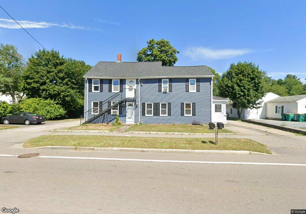
83 W Main St Unit 1 Norton, MA 02766
Estimated Value: $535,000 - $690,000
3
Beds
1
Bath
1,010
Sq Ft
$630/Sq Ft
Est. Value
About This Home
This home is located at 83 W Main St Unit 1, Norton, MA 02766 and is currently estimated at $636,125, approximately $629 per square foot. 83 W Main St Unit 1 is a home located in Bristol County with nearby schools including J.C. Solmonese Elementary School, Henri A. Yelle Elementary School, and Norton Middle School.
Ownership History
Date
Name
Owned For
Owner Type
Purchase Details
Closed on
May 25, 2006
Sold by
Silva-Fernandes Rosa
Bought by
Brennan Gary P
Current Estimated Value
Home Financials for this Owner
Home Financials are based on the most recent Mortgage that was taken out on this home.
Original Mortgage
$263,000
Outstanding Balance
$152,616
Interest Rate
6.53%
Mortgage Type
Purchase Money Mortgage
Estimated Equity
$483,509
Create a Home Valuation Report for This Property
The Home Valuation Report is an in-depth analysis detailing your home's value as well as a comparison with similar homes in the area
Home Values in the Area
Average Home Value in this Area
Purchase History
| Date | Buyer | Sale Price | Title Company |
|---|---|---|---|
| Brennan Gary P | $318,000 | -- | |
| Brennan Gary P | $318,000 | -- | |
| Brennan Gary P | $318,000 | -- |
Source: Public Records
Mortgage History
| Date | Status | Borrower | Loan Amount |
|---|---|---|---|
| Open | Brennan Gary P | $263,000 | |
| Closed | Brennan Gary P | $263,000 |
Source: Public Records
Tax History Compared to Growth
Tax History
| Year | Tax Paid | Tax Assessment Tax Assessment Total Assessment is a certain percentage of the fair market value that is determined by local assessors to be the total taxable value of land and additions on the property. | Land | Improvement |
|---|---|---|---|---|
| 2025 | $6,156 | $474,600 | $161,300 | $313,300 |
| 2024 | $5,751 | $444,100 | $153,700 | $290,400 |
| 2023 | $5,449 | $419,500 | $145,000 | $274,500 |
| 2022 | $5,074 | $355,800 | $131,800 | $224,000 |
| 2021 | $4,813 | $322,400 | $125,500 | $196,900 |
| 2020 | $4,638 | $313,400 | $121,800 | $191,600 |
| 2019 | $4,692 | $314,900 | $130,200 | $184,700 |
| 2018 | $4,560 | $300,800 | $130,200 | $170,600 |
| 2017 | $4,443 | $289,100 | $130,200 | $158,900 |
| 2016 | $4,305 | $275,800 | $130,200 | $145,600 |
| 2015 | $4,146 | $269,400 | $127,700 | $141,700 |
| 2014 | $3,767 | $245,100 | $109,400 | $135,700 |
Source: Public Records
Map
Nearby Homes
- 3 Lloyd Cir Unit 43
- 20 Lloyd Cir Unit 32
- 18 Lloyd Cir Unit 31
- 14 Lloyd Cir Unit 29
- 75 Barrows St
- 93 Mansfield Ave
- 34R Pine St
- 178 S Worcester St
- 170 S Worcester St Unit 3
- 145 S Worcester St
- 90 Pine St
- 38 Danielle St
- 225 S Worcester St Unit 1
- 225 S Worcester St Unit 2
- 108 S Worcester St
- 16 Park Ln
- 157 Mansfield Ave Unit 14
- 73 Godfrey Dr
- 8 Johnson Dr
- 23 Indian Rd
- 83 W Main St
- 79 W Main St
- 80 W Main St
- 85 W Main St Unit 6
- 85 W Main St Unit 5
- 85 W Main St Unit 4
- 85 W Main St Unit 3
- 85 W Main St Unit 2
- 85 W Main St Unit 1
- 85 W Main St Unit 2 85
- 85 W Main St Unit 6-85
- 78 W Main St
- 82 W Main St
- 86 W Main St
- 75 W Main St Unit 1
- 77 & 79 W Main St
- 76 W Main St
- 77 W Main St
- 88 W Main St
- 88 W Main St Unit 10