83 West St Wrentham, MA 02093
Estimated Value: $1,004,985 - $1,242,000
3
Beds
2
Baths
3,284
Sq Ft
$334/Sq Ft
Est. Value
About This Home
This home is located at 83 West St, Wrentham, MA 02093 and is currently estimated at $1,098,246, approximately $334 per square foot. 83 West St is a home located in Norfolk County with nearby schools including Delaney Elementary School, Charles E Roderick, and Mercymount Country Day School.
Ownership History
Date
Name
Owned For
Owner Type
Purchase Details
Closed on
Jul 11, 2005
Sold by
Norian Hagop and Norian Jack
Bought by
Devasto Carolyn M
Current Estimated Value
Home Financials for this Owner
Home Financials are based on the most recent Mortgage that was taken out on this home.
Original Mortgage
$468,000
Outstanding Balance
$245,090
Interest Rate
5.71%
Mortgage Type
Purchase Money Mortgage
Estimated Equity
$853,156
Purchase Details
Closed on
Aug 31, 1990
Sold by
Felici Richard J
Bought by
Norian Hagop
Home Financials for this Owner
Home Financials are based on the most recent Mortgage that was taken out on this home.
Original Mortgage
$183,750
Interest Rate
9.85%
Mortgage Type
Purchase Money Mortgage
Create a Home Valuation Report for This Property
The Home Valuation Report is an in-depth analysis detailing your home's value as well as a comparison with similar homes in the area
Purchase History
| Date | Buyer | Sale Price | Title Company |
|---|---|---|---|
| Devasto Carolyn M | $660,000 | -- | |
| Norian Hagop | $265,000 | -- |
Source: Public Records
Mortgage History
| Date | Status | Borrower | Loan Amount |
|---|---|---|---|
| Open | Devasto Carolyn M | $468,000 | |
| Previous Owner | Norian Hagop | $179,100 | |
| Previous Owner | Norian Hagop | $183,000 | |
| Previous Owner | Norian Hagop | $183,750 |
Source: Public Records
Tax History
| Year | Tax Paid | Tax Assessment Tax Assessment Total Assessment is a certain percentage of the fair market value that is determined by local assessors to be the total taxable value of land and additions on the property. | Land | Improvement |
|---|---|---|---|---|
| 2025 | $10,838 | $935,100 | $278,300 | $656,800 |
| 2024 | $10,361 | $863,400 | $278,300 | $585,100 |
| 2023 | $8,236 | $652,600 | $254,300 | $398,300 |
| 2022 | $8,575 | $627,300 | $247,700 | $379,600 |
| 2021 | $8,469 | $601,900 | $232,500 | $369,400 |
| 2020 | $8,388 | $588,600 | $219,500 | $369,100 |
| 2019 | $8,030 | $568,700 | $203,000 | $365,700 |
| 2018 | $7,974 | $560,000 | $202,900 | $357,100 |
| 2017 | $7,598 | $533,200 | $198,900 | $334,300 |
| 2016 | $7,476 | $523,500 | $193,100 | $330,400 |
| 2015 | $7,387 | $493,100 | $205,500 | $287,600 |
| 2014 | $7,344 | $479,700 | $197,700 | $282,000 |
Source: Public Records
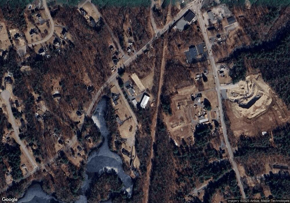
Map
Nearby Homes
- 10 Earle Stewart Ln Unit Lot 5
- 12 Earle Stewart Ln
- 3 Earle Stewart Ln
- 2 Earle Stewart Ln
- 135 Creek St Unit 2
- 1222 South St
- 613 West St
- 440 Chestnut St
- 10 Nature View Dr
- 15 Nature View Dr
- 0 Berry St
- 18 Huntington Ave
- 500 Franklin St
- 19 Chestnut Lot 0
- 955 Summer St
- 20 Field Cir
- 11 Amber Dr
- 160 Washington St Unit 22
- 158 Washington St
- 0 Fall Ln
- 10 Mill Pond Dr
- 20 Mill Pond Dr
- 30 Mill Pond Dr
- 82 West St
- 1 Bennett St
- 714 South St
- 112 West St
- 19 Bennett St
- 68 West St
- 40 Mill Pond Dr
- 23 Bennett St
- 17 West St
- 126 West St
- 145 West St
- 708 South St
- 686 South St Unit 3
- 686 South St Unit 6A
- 686 South St Unit 9
- 686 South St Unit 4
- 686 South St Unit R
Your Personal Tour Guide
Ask me questions while you tour the home.