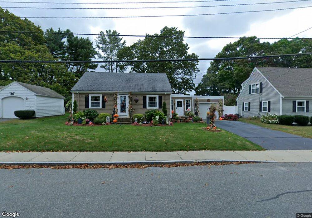
83 Wilbur Ave North Dartmouth, MA 02747
Rockdale NeighborhoodEstimated Value: $469,000 - $571,000
3
Beds
2
Baths
1,165
Sq Ft
$438/Sq Ft
Est. Value
About This Home
This home is located at 83 Wilbur Ave, North Dartmouth, MA 02747 and is currently estimated at $510,015, approximately $437 per square foot. 83 Wilbur Ave is a home located in Bristol County with nearby schools including Dartmouth High School, Nazarene Christian Academy, and Our Sister's School.
Ownership History
Date
Name
Owned For
Owner Type
Purchase Details
Closed on
Apr 29, 2005
Sold by
Gonsalves Joel E
Bought by
Gallagher Peggyanne and Gallagher Wayne M
Current Estimated Value
Home Financials for this Owner
Home Financials are based on the most recent Mortgage that was taken out on this home.
Original Mortgage
$316,000
Outstanding Balance
$165,927
Interest Rate
5.95%
Mortgage Type
Purchase Money Mortgage
Estimated Equity
$344,088
Purchase Details
Closed on
Jul 31, 1989
Sold by
Duffie Robert E
Bought by
Gonsalves Joel E
Home Financials for this Owner
Home Financials are based on the most recent Mortgage that was taken out on this home.
Original Mortgage
$120,000
Interest Rate
9.9%
Mortgage Type
Purchase Money Mortgage
Create a Home Valuation Report for This Property
The Home Valuation Report is an in-depth analysis detailing your home's value as well as a comparison with similar homes in the area
Home Values in the Area
Average Home Value in this Area
Purchase History
| Date | Buyer | Sale Price | Title Company |
|---|---|---|---|
| Gallagher Peggyanne | $316,000 | -- | |
| Gonsalves Joel E | $140,000 | -- |
Source: Public Records
Mortgage History
| Date | Status | Borrower | Loan Amount |
|---|---|---|---|
| Open | Gonsalves Joel E | $29,689 | |
| Open | Gonsalves Joel E | $316,000 | |
| Previous Owner | Gonsalves Joel E | $120,000 |
Source: Public Records
Tax History Compared to Growth
Tax History
| Year | Tax Paid | Tax Assessment Tax Assessment Total Assessment is a certain percentage of the fair market value that is determined by local assessors to be the total taxable value of land and additions on the property. | Land | Improvement |
|---|---|---|---|---|
| 2025 | $3,501 | $386,900 | $156,500 | $230,400 |
| 2024 | $3,407 | $372,800 | $149,300 | $223,500 |
| 2023 | $3,333 | $344,000 | $138,400 | $205,600 |
| 2022 | $3,201 | $309,000 | $132,400 | $176,600 |
| 2021 | $3,027 | $279,500 | $116,900 | $162,600 |
| 2020 | $2,895 | $266,100 | $116,900 | $149,200 |
| 2019 | $2,868 | $264,300 | $116,900 | $147,400 |
| 2018 | $2,600 | $243,400 | $116,900 | $126,500 |
| 2017 | $2,464 | $231,600 | $110,200 | $121,400 |
| 2016 | $2,440 | $230,600 | $110,200 | $120,400 |
| 2015 | $2,365 | $225,000 | $103,000 | $122,000 |
| 2014 | $2,223 | $212,900 | $93,500 | $119,400 |
Source: Public Records
Map
Nearby Homes
- 3 Spring Hill Rd
- 5 Spring Hill Rd
- 1 Spring Hill Rd
- 48 Valley View Dr
- 818 Hathaway Rd
- 805 Hathaway Rd Unit 809
- 148 Nellie Rd
- 1249-1251 Rockdale Ave
- 0 Middlesex St
- 129 Rowe St
- 50 Lyng St
- 0 Norfolk Ave Unit 73403282
- 0 Hathaway Rd
- 51 Ryder St
- 160 Hapwell St
- 317 Commonwealth Ave
- 1406 Tucker Rd
- 13 Old Westport Rd
- ) Hapwell & Summit St
- 150 Townsend St