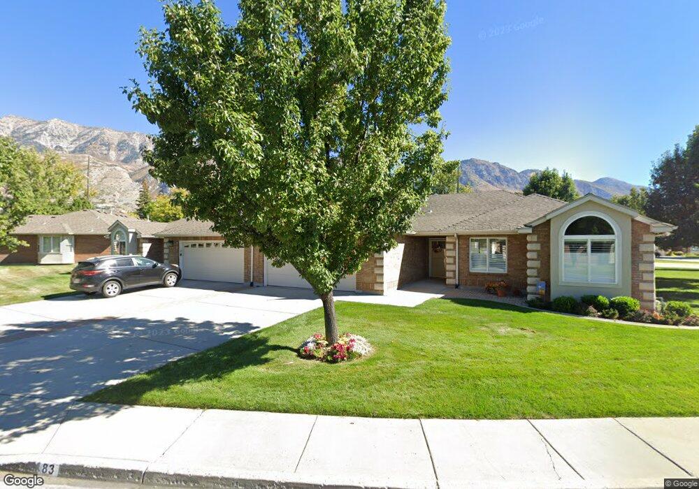
83 Woodside Dr Provo, UT 84604
Riverside NeighborhoodEstimated Value: $524,000 - $573,000
2
Beds
2
Baths
1,952
Sq Ft
$282/Sq Ft
Est. Value
About This Home
This home is located at 83 Woodside Dr, Provo, UT 84604 and is currently estimated at $551,047, approximately $282 per square foot. 83 Woodside Dr is a home located in Utah County with nearby schools including Canyon Crest Elementary School, Centennial Middle School, and Timpview High School.
Ownership History
Date
Name
Owned For
Owner Type
Purchase Details
Closed on
Mar 9, 2020
Sold by
Parker Bradley H and Parker Chase H
Bought by
Zimmerman Merrie J and Zimmerman Merrie J
Current Estimated Value
Purchase Details
Closed on
Sep 2, 2014
Sold by
Parker Douglas H and Parker Corene C
Bought by
Parker Douglas H and Parker Bradley H
Purchase Details
Closed on
Nov 1, 2007
Sold by
Clark Sheffer Tietjen
Bought by
Parker Douglas H and Parker Corene C
Create a Home Valuation Report for This Property
The Home Valuation Report is an in-depth analysis detailing your home's value as well as a comparison with similar homes in the area
Home Values in the Area
Average Home Value in this Area
Purchase History
| Date | Buyer | Sale Price | Title Company |
|---|---|---|---|
| Zimmerman Merrie J | -- | Cottonwood Ttl Ins Agcy Inc | |
| Parker Douglas H | -- | None Available | |
| Parker Douglas H | -- | Security Title & Abstract |
Source: Public Records
Tax History Compared to Growth
Tax History
| Year | Tax Paid | Tax Assessment Tax Assessment Total Assessment is a certain percentage of the fair market value that is determined by local assessors to be the total taxable value of land and additions on the property. | Land | Improvement |
|---|---|---|---|---|
| 2025 | $2,689 | $268,950 | $88,600 | $400,400 |
| 2024 | $2,689 | $264,715 | $0 | $0 |
| 2023 | $3,052 | $296,175 | $0 | $0 |
| 2022 | $2,692 | $263,395 | $0 | $0 |
| 2021 | $2,142 | $365,600 | $90,000 | $275,600 |
| 2020 | $2,136 | $341,700 | $90,000 | $251,700 |
| 2019 | $2,019 | $336,000 | $90,000 | $246,000 |
| 2018 | $1,922 | $324,400 | $90,000 | $234,400 |
| 2017 | $1,669 | $154,770 | $0 | $0 |
| 2016 | $1,791 | $154,770 | $0 | $0 |
| 2015 | $1,701 | $148,610 | $0 | $0 |
| 2014 | $1,456 | $132,550 | $0 | $0 |
Source: Public Records
Map
Nearby Homes
- 3430 Brookside Dr
- 3535 N 160 St W
- 3477 Brookside Dr
- 3240 Shadowbrook Dr
- 3057 N 100 W
- 3013 N 100 W
- 404 W 3700 N
- 2939 N Marrcrest Dr W
- 2888 Marrcrest W
- 2823 N Marrcrest E
- 96 Marrcrest S
- 1636 N 320 E Unit 5
- 1660 N 320 E Unit 3
- 1648 N 320 E Unit 4
- 1625 N 320 E Unit 1
- 1624 N 320 E Unit 6
- 1615 N 320 E Unit 1
- 1612 N 320 E Unit RES
- 355 W 4020 N
- 282 W 4020 N
- 77 Woodside Dr
- 89 Woodside Dr
- 95 Woodside Dr
- 65 Woodside Dr
- 116 Woodside Dr
- 59 Woodside Dr
- 126 Woodside Dr
- 101 Woodside Dr
- 108 Woodside Dr
- 3462 Royalwood Cir
- 123 Woodside Dr
- 107 Woodside Dr
- 3466 Royalwood Cir
- 74 Woodside Dr
- 68 Woodside Dr
- 102 Woodside Dr
- 129 Woodside Dr
- 82 Woodside Dr
- 3476 Royalwood Cir
- 62 Woodside Dr