830 Burns Left Fork Rd Lucasville, OH 45648
Estimated Value: $73,000 - $174,416
2
Beds
1
Bath
1,560
Sq Ft
$90/Sq Ft
Est. Value
About This Home
This home is located at 830 Burns Left Fork Rd, Lucasville, OH 45648 and is currently estimated at $140,354, approximately $89 per square foot. 830 Burns Left Fork Rd is a home located in Scioto County with nearby schools including Valley Elementary School, Valley Middle School, and Valley High School.
Ownership History
Date
Name
Owned For
Owner Type
Purchase Details
Closed on
Aug 29, 2025
Sold by
Tackett Dkasey Wade and Tackett Jade L
Bought by
Riffe James W
Current Estimated Value
Home Financials for this Owner
Home Financials are based on the most recent Mortgage that was taken out on this home.
Original Mortgage
$181,649
Outstanding Balance
$181,649
Interest Rate
6.74%
Mortgage Type
FHA
Estimated Equity
-$41,295
Purchase Details
Closed on
Aug 9, 2021
Sold by
Swetnam Samuel T and Nelson Alicia D
Bought by
Tackett Dkasey Wade and Tackett Jade L
Home Financials for this Owner
Home Financials are based on the most recent Mortgage that was taken out on this home.
Original Mortgage
$147,283
Interest Rate
2.9%
Mortgage Type
FHA
Purchase Details
Closed on
Jan 21, 2021
Bought by
Samuel T Swetnam and Alicia Swetnam
Home Financials for this Owner
Home Financials are based on the most recent Mortgage that was taken out on this home.
Interest Rate
2.77%
Purchase Details
Closed on
Aug 2, 2018
Sold by
Davis David and Davis Sharon
Bought by
Redouty Timothy
Purchase Details
Closed on
Jan 1, 1987
Bought by
Davis David + Sharon
Create a Home Valuation Report for This Property
The Home Valuation Report is an in-depth analysis detailing your home's value as well as a comparison with similar homes in the area
Home Values in the Area
Average Home Value in this Area
Purchase History
| Date | Buyer | Sale Price | Title Company |
|---|---|---|---|
| Riffe James W | $185,000 | None Listed On Document | |
| Tackett Dkasey Wade | $150,000 | Stewart Title Company | |
| Samuel T Swetnam | $17,000 | -- | |
| Redouty Timothy | -- | None Available | |
| Davis David + Sharon | -- | -- |
Source: Public Records
Mortgage History
| Date | Status | Borrower | Loan Amount |
|---|---|---|---|
| Open | Riffe James W | $181,649 | |
| Previous Owner | Tackett Dkasey Wade | $147,283 | |
| Previous Owner | Samuel T Swetnam | -- |
Source: Public Records
Tax History Compared to Growth
Tax History
| Year | Tax Paid | Tax Assessment Tax Assessment Total Assessment is a certain percentage of the fair market value that is determined by local assessors to be the total taxable value of land and additions on the property. | Land | Improvement |
|---|---|---|---|---|
| 2024 | $1,595 | $22,610 | $5,680 | $16,930 |
| 2023 | $1,595 | $22,610 | $5,680 | $16,930 |
| 2022 | $1,023 | $22,610 | $5,680 | $16,930 |
| 2021 | $597 | $12,840 | $5,000 | $7,840 |
| 2020 | $587 | $12,840 | $5,000 | $7,840 |
| 2019 | $577 | $11,680 | $4,550 | $7,130 |
| 2018 | $542 | $11,680 | $4,550 | $7,130 |
| 2017 | $551 | $11,680 | $4,550 | $7,130 |
| 2016 | $279 | $14,220 | $4,260 | $9,960 |
| 2015 | $666 | $14,220 | $4,260 | $9,960 |
| 2013 | $597 | $14,220 | $4,260 | $9,960 |
Source: Public Records
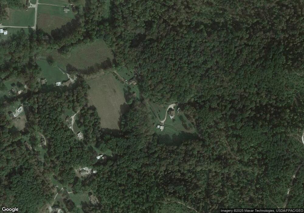
Map
Nearby Homes
- 7042 Ohio 139
- 7080 Ohio 139
- 296 Clay Dr
- 7948 State Route 139
- 5628 Ohio 139
- 8499 Ohio 139
- 448 Houston Hollow Rd
- 640 Rases Mountain Dr
- Lot 9 Hearthstone Dr
- 0 Hearthstone Dr
- 13 Cornerstone Dr
- 224 Breckenridge Dr
- 0 Feurt Hill Rd
- 44 Feurt Hill Rd
- 111 Linda Ave
- 311 Diane St
- 0 Millers Run Back Run Rd Unit 11567700
- 0-5A Rice Rd
- 0-5B Rice Rd
- 0-5 Rice Rd
- 772 Burns Left Fork Rd
- 837 Burns Left Fork Rd
- 918 Burns Left Fork Rd
- 898 Burns Left Fork Rd
- 702 Burns Left Fork Rd
- 1014 Burns Left Fork Rd
- 1038 Burns Left Fork Rd
- 624 Burns Left Fork Rd
- 222 Burns Road Right Fork
- 0 Burns Road Left Fork
- 506 Burns Left Fork Rd
- 506 Fork
- 70 Burns Road Right Fork
- 400 Burns Left Fork Rd
- 996 Butler Hollow Rd
- 0 Burns Rd
- 376 Burns Left Fork Rd
- 921 Burns Hollow Rd
- 1677 Houston Hollow Candy Run Rd
- 1677 Candy Run Rd