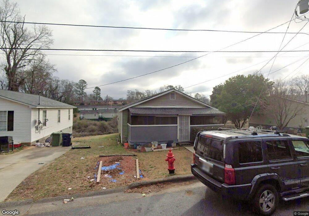
830 Lane St Griffin, GA 30223
Spalding County NeighborhoodEstimated Value: $105,336 - $171,000
4
Beds
2
Baths
1,164
Sq Ft
$120/Sq Ft
Est. Value
About This Home
This home is located at 830 Lane St, Griffin, GA 30223 and is currently estimated at $140,084, approximately $120 per square foot. 830 Lane St is a home located in Spalding County with nearby schools including Moore Elementary School, Kennedy Road Middle School, and Griffin High School.
Ownership History
Date
Name
Owned For
Owner Type
Purchase Details
Closed on
Feb 6, 2012
Sold by
Dewberry Willie G
Bought by
Dewberry Katie Mae
Current Estimated Value
Purchase Details
Closed on
Dec 6, 1994
Sold by
Forrer Arthur
Bought by
Dewberry Willie Katie
Purchase Details
Closed on
Feb 6, 1979
Sold by
Mathews Joe
Bought by
Forrer Arthur
Purchase Details
Closed on
Mar 25, 1977
Sold by
Forrer Arthur
Bought by
Mathews Joe
Purchase Details
Closed on
Sep 2, 1975
Sold by
Reid Bobby
Bought by
Forrer Arthur
Create a Home Valuation Report for This Property
The Home Valuation Report is an in-depth analysis detailing your home's value as well as a comparison with similar homes in the area
Home Values in the Area
Average Home Value in this Area
Purchase History
| Date | Buyer | Sale Price | Title Company |
|---|---|---|---|
| Dewberry Katie Mae | -- | -- | |
| Dewberry Willie Katie | $10,500 | -- | |
| Forrer Arthur | $15,300 | -- | |
| Mathews Joe | $15,500 | -- | |
| Forrer Arthur | -- | -- |
Source: Public Records
Mortgage History
| Date | Status | Borrower | Loan Amount |
|---|---|---|---|
| Closed | Dewberry Willie Katie | -- |
Source: Public Records
Tax History
| Year | Tax Paid | Tax Assessment Tax Assessment Total Assessment is a certain percentage of the fair market value that is determined by local assessors to be the total taxable value of land and additions on the property. | Land | Improvement |
|---|---|---|---|---|
| 2025 | $880 | $23,055 | $4,480 | $18,575 |
| 2024 | $861 | $23,055 | $4,480 | $18,575 |
| 2023 | $880 | $14,154 | $4,480 | $9,674 |
| 2022 | $496 | $12,410 | $2,800 | $9,610 |
| 2021 | $359 | $8,974 | $2,800 | $6,174 |
| 2020 | $359 | $8,974 | $2,800 | $6,174 |
| 2019 | $365 | $8,974 | $2,800 | $6,174 |
| 2018 | $353 | $8,348 | $2,800 | $5,548 |
| 2017 | $345 | $8,348 | $2,800 | $5,548 |
| 2016 | $351 | $8,348 | $2,800 | $5,548 |
| 2015 | $356 | $8,348 | $2,800 | $5,548 |
| 2014 | $367 | $8,348 | $2,800 | $5,548 |
Source: Public Records
Map
Nearby Homes
- 122 W Lexington Ave
- 117 Thurman St
- 135 Alabama St
- 607 Lane St
- N 9 St
- 554 N 8th St
- 3939 Georgia Highway 3 Old Atl Rd
- 566 N 13th St
- 441 W Cherry St
- 221 Lexington Ave
- 115 Elm St
- 418 N 9th St
- 110 Elm St
- 0 Tuskegee Ave Unit 7674017
- 525 W Quilly St
- 224 W Tinsley St
- 282.37 AC W Ellis Rd
- 200 AC W Ellis Rd
- 233 E Tinsley St
- 212 W Quilly St