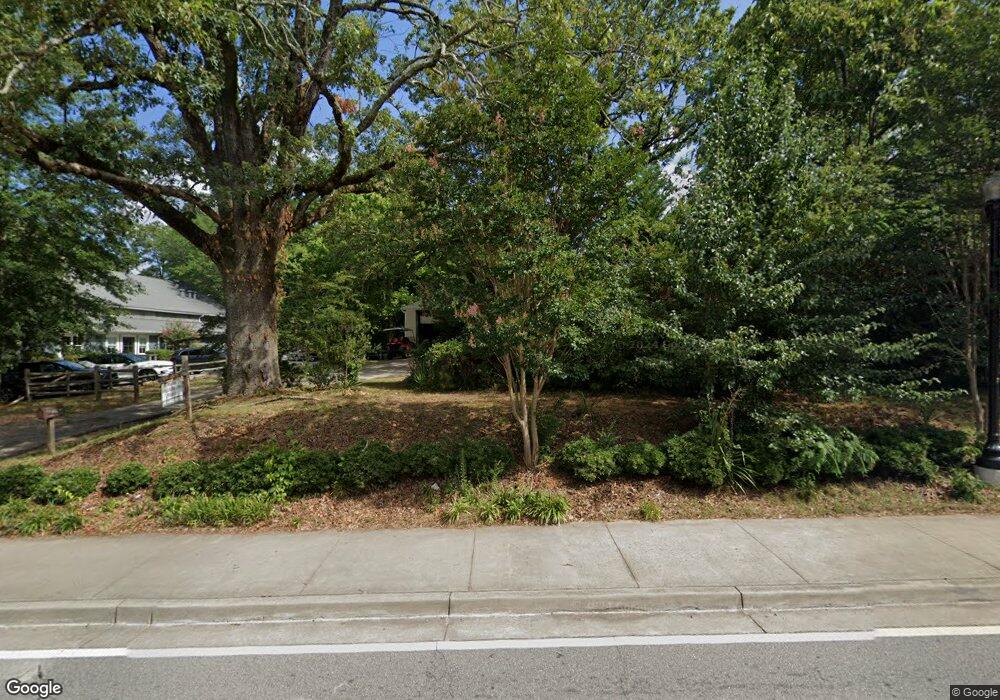
830 Mayfield Rd Alpharetta, GA 30009
Estimated Value: $673,000 - $3,101,000
3
Beds
1
Bath
1,520
Sq Ft
$1,053/Sq Ft
Est. Value
About This Home
This home is located at 830 Mayfield Rd, Alpharetta, GA 30009 and is currently estimated at $1,600,710, approximately $1,053 per square foot. 830 Mayfield Rd is a home located in Fulton County with nearby schools including Crabapple Crossing Elementary School, Northwestern Middle School, and Milton High School.
Ownership History
Date
Name
Owned For
Owner Type
Purchase Details
Closed on
Nov 20, 2017
Sold by
Milton Preservation Grp Ll
Bought by
830 Mayfield Road Llc
Current Estimated Value
Purchase Details
Closed on
Mar 7, 2006
Sold by
Park Milton S
Bought by
Milton Preservation Group Llc
Purchase Details
Closed on
Jan 23, 2006
Sold by
Broadwell Conservation Llc
Bought by
Park Milton S
Purchase Details
Closed on
Sep 30, 2005
Sold by
Addis Robert N
Bought by
Broadwell Conservation Llc
Create a Home Valuation Report for This Property
The Home Valuation Report is an in-depth analysis detailing your home's value as well as a comparison with similar homes in the area
Home Values in the Area
Average Home Value in this Area
Purchase History
| Date | Buyer | Sale Price | Title Company |
|---|---|---|---|
| 830 Mayfield Road Llc | $625,000 | -- | |
| Milton Preservation Group Llc | -- | -- | |
| Park Milton S | -- | -- | |
| Broadwell Conservation Llc | $410,000 | -- |
Source: Public Records
Tax History Compared to Growth
Tax History
| Year | Tax Paid | Tax Assessment Tax Assessment Total Assessment is a certain percentage of the fair market value that is determined by local assessors to be the total taxable value of land and additions on the property. | Land | Improvement |
|---|---|---|---|---|
| 2025 | $437 | $89,960 | $80,160 | $9,800 |
| 2023 | $2,598 | $92,040 | $80,160 | $11,880 |
| 2022 | $2,422 | $92,040 | $80,160 | $11,880 |
| 2021 | $995 | $36,680 | $29,760 | $6,920 |
| 2020 | $1,032 | $37,120 | $29,480 | $7,640 |
| 2019 | $194 | $36,480 | $28,960 | $7,520 |
| 2018 | $1,005 | $35,600 | $28,280 | $7,320 |
| 2017 | $1,720 | $58,960 | $18,280 | $40,680 |
| 2016 | $1,721 | $58,960 | $18,280 | $40,680 |
| 2015 | $2,007 | $58,960 | $18,280 | $40,680 |
| 2014 | $1,807 | $58,960 | $18,280 | $40,680 |
Source: Public Records
Map
Nearby Homes
- 12575 Broadwell Rd
- 2200 Cortland Rd
- 1950 Heritage Walk
- 12474 Broadwell Rd
- 12455 Broadwell Rd Unit 201
- 12455 Broadwell Rd Unit 202
- 1065 Mid Broadwell Rd
- 7412 Mid Broadwell Trace
- 1020 Cathedral Dr
- 7411 Mid Broadwell Trace
- 507 Branyan Trail
- 5065 Jonquilla Dr
- 12440 Brookhill Crossing Ln
- 12350 Charlotte Dr
- 143 Nakomis Place
- 825 Mayfield Rd
- 840 Mayfield Rd
- 810 Mayfield Rd
- 815 Mayfield Rd
- 835 Mayfield Rd
- 770 Mid Broadwell Rd
- 850 Mayfield Rd
- 12645 Birmingham Hwy
- 765 Mid Broadwell Rd
- 0 Birmingham Hwy and Sr 372 Unit 7406523
- 0 Birmingham Hwy and Sr 372 Unit 7214429
- 0 Birmingham Hwy and Sr 372 Unit 7559925
- 860 Mayfield Rd
- 855 Mayfield Rd
- 785 Mid Broadwell Rd
- 12655 Birmingham Hwy Unit Building 6, Unit A
- 12655 Birmingham Hwy
- 12655 Birmingham Hwy Unit 2:201
- 12655 Birmingham Hwy Unit 6305
- 12655 Birmingham Hwy Unit 6202