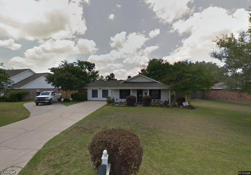
830 Rampart St Lake Charles, LA 70607
Estimated Value: $180,252 - $254,000
3
Beds
2
Baths
2,000
Sq Ft
$111/Sq Ft
Est. Value
About This Home
This home is located at 830 Rampart St, Lake Charles, LA 70607 and is currently estimated at $222,063, approximately $111 per square foot. 830 Rampart St is a home located in Calcasieu Parish with nearby schools including Dolby Elementary School, Francis Wyman Elementary School, and Center Elementary School.
Ownership History
Date
Name
Owned For
Owner Type
Purchase Details
Closed on
Mar 18, 2005
Sold by
Henning Mark Terrell and Henning Sandi Faye
Bought by
Lawton Richard Luke and Lawton Holly Elizabeth
Current Estimated Value
Home Financials for this Owner
Home Financials are based on the most recent Mortgage that was taken out on this home.
Original Mortgage
$118,000
Outstanding Balance
$66,186
Interest Rate
7.25%
Mortgage Type
Adjustable Rate Mortgage/ARM
Estimated Equity
$155,877
Create a Home Valuation Report for This Property
The Home Valuation Report is an in-depth analysis detailing your home's value as well as a comparison with similar homes in the area
Home Values in the Area
Average Home Value in this Area
Purchase History
| Date | Buyer | Sale Price | Title Company |
|---|---|---|---|
| Lawton Richard Luke | -- | None Available |
Source: Public Records
Mortgage History
| Date | Status | Borrower | Loan Amount |
|---|---|---|---|
| Open | Lawton Richard Luke | $118,000 |
Source: Public Records
Tax History Compared to Growth
Tax History
| Year | Tax Paid | Tax Assessment Tax Assessment Total Assessment is a certain percentage of the fair market value that is determined by local assessors to be the total taxable value of land and additions on the property. | Land | Improvement |
|---|---|---|---|---|
| 2024 | $339 | $9,840 | $2,540 | $7,300 |
| 2023 | $339 | $9,840 | $2,540 | $7,300 |
| 2022 | $349 | $9,840 | $2,540 | $7,300 |
| 2021 | $206 | $9,840 | $2,540 | $7,300 |
| 2020 | $925 | $9,010 | $2,440 | $6,570 |
| 2019 | $1,031 | $9,840 | $2,540 | $7,300 |
| 2018 | $362 | $9,840 | $2,540 | $7,300 |
| 2017 | $1,039 | $9,840 | $2,540 | $7,300 |
| 2016 | $1,047 | $9,840 | $2,540 | $7,300 |
| 2015 | $1,032 | $9,840 | $2,540 | $7,300 |
Source: Public Records
Map
Nearby Homes
- 829 Rampart St
- 856 Desoto St
- 730 Rampart St
- 832 Desoto St
- 4823 Gentilly St
- 714 Rampart St
- 805 Royal St
- 720 Royal St
- 0 Petro Point Dr
- 645 Esplanade St
- 0 Link Rd Unit SWL24005611
- 4701 Desoto St
- 878 Link Rd
- 1750 Park Place Dr
- 0 Tallow Rd Unit SWL24005610
- 0 Common St Unit SWL23007421
- 0 Common St Unit SWL25101034
- 0 Common St Unit SWL24003400
- 0 Common St Unit SWL25101838
- 0 McNeese St Unit SWL22002762
- 834 Rampart St
- 824 Rampart St
- 893 Desoto St
- 820 Rampart St
- 889 Desoto St
- 825 Rampart St
- 821 Rampart St
- 833 Rampart St
- 5017 Orleans St
- 816 Rampart St
- 885 Desoto St
- 904 Desoto St
- 819 Rampart St
- 5013 Orleans St
- 881 Desoto St
- 1004 Esplanade St
- 1000 Esplanade St
- 817 Rampart St
- 5009 Orleans St
- 1008 Esplanade St